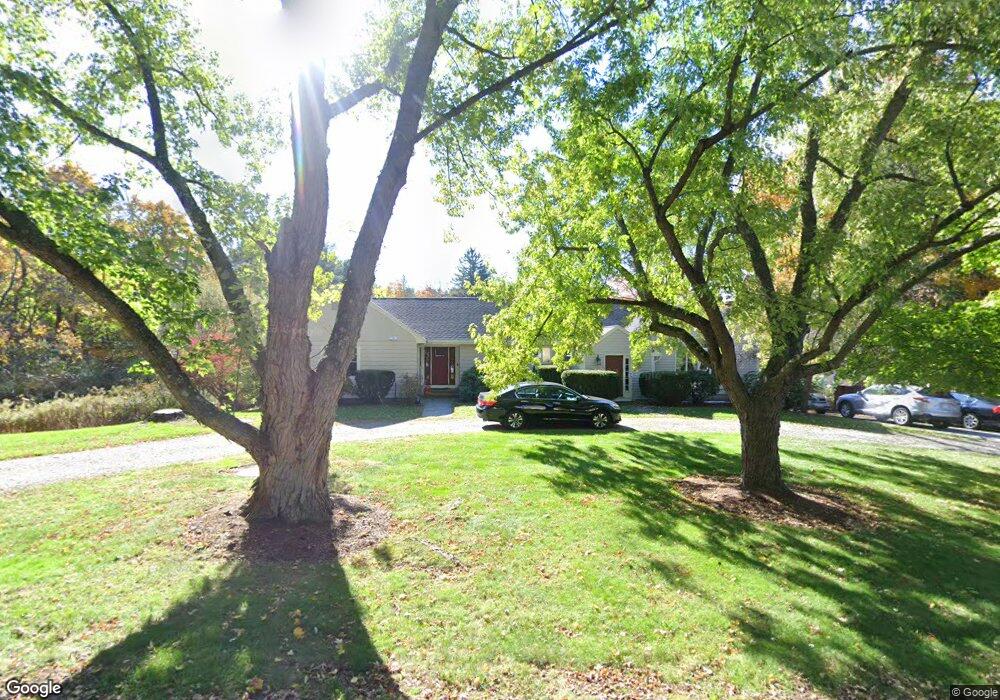
6 Page Rd Weston, MA 02493
Estimated Value: $1,539,963 - $1,970,000
4
Beds
4
Baths
3,846
Sq Ft
$437/Sq Ft
Est. Value
About This Home
This home is located at 6 Page Rd, Weston, MA 02493 and is currently estimated at $1,681,491, approximately $437 per square foot. 6 Page Rd is a home located in Middlesex County with nearby schools including Country Elementary School, Woodland Elementary School, and Weston Middle School.
Ownership History
Date
Name
Owned For
Owner Type
Purchase Details
Closed on
Aug 24, 1992
Sold by
Frechette Terrance A and Frechette Carole R
Bought by
St Peters Episcopal Ch and Seeley David W
Current Estimated Value
Create a Home Valuation Report for This Property
The Home Valuation Report is an in-depth analysis detailing your home's value as well as a comparison with similar homes in the area
Home Values in the Area
Average Home Value in this Area
Purchase History
| Date | Buyer | Sale Price | Title Company |
|---|---|---|---|
| St Peters Episcopal Ch | $386,000 | -- |
Source: Public Records
Tax History Compared to Growth
Tax History
| Year | Tax Paid | Tax Assessment Tax Assessment Total Assessment is a certain percentage of the fair market value that is determined by local assessors to be the total taxable value of land and additions on the property. | Land | Improvement |
|---|---|---|---|---|
| 2025 | $13,633 | $1,228,200 | $825,300 | $402,900 |
| 2024 | $12,883 | $1,158,500 | $825,300 | $333,200 |
| 2023 | $13,015 | $1,099,200 | $825,300 | $273,900 |
| 2022 | $12,668 | $988,900 | $774,500 | $214,400 |
| 2021 | $9,836 | $757,800 | $553,300 | $204,500 |
| 2020 | $9,723 | $757,800 | $553,300 | $204,500 |
| 2019 | $12,860 | $715,200 | $513,000 | $202,200 |
| 2018 | $11,798 | $715,200 | $513,000 | $202,200 |
| 2017 | $0 | $715,200 | $513,000 | $202,200 |
| 2016 | $8,719 | $717,000 | $513,000 | $204,000 |
| 2015 | $8,433 | $686,700 | $488,800 | $197,900 |
Source: Public Records
Map
Nearby Homes
- 17 Lexington St
- 15 Whitney Tavern Rd
- 6 Overlook Dr
- 202 Bear Hill Rd
- 120 Church St
- 11 Winthrop Cir
- 51 Church St
- 167 Conant Rd
- 3 October Ln
- 60 Rolling Ln
- 51 Willard Rd
- 416 Conant Rd
- 426 Conant Rd
- 91 Prentice St
- 14 Willard St
- 5 Peakes Ln
- 79-81 Vernon St
- 948 Main St Unit 209
- 948 Main St Unit 105
- 15 Banks St Unit 4
- 6 Lexington St
- 5 Page Rd
- 21 Lexington St
- 21 Lexington St Unit 21
- 23 Lexington St
- 23 Lexington St Unit 23
- 23 Lexington St Unit 1
- 23 Lexington St Unit 21
- 27 Lexington St
- 12 Page Rd
- 4 Kendal Common Rd
- 4 Kendal Common Rd Unit 4
- 19 Lexington St
- 49 North Ave
- 11 Page Rd
- 3 Kendal Common Rd
- 32 Lexington St
- 32 Lexington St
- 32 Lexington St
- 32 Lexington St