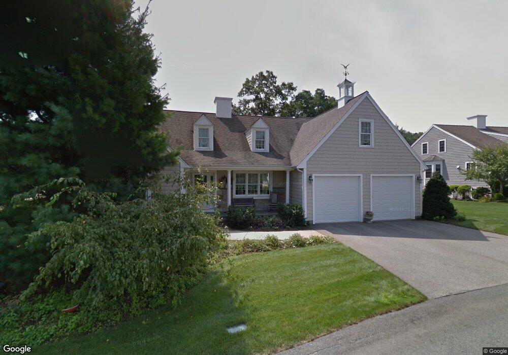
6 Par Place South Weymouth, MA 02190
South Weymouth NeighborhoodEstimated Value: $972,000 - $1,068,000
2
Beds
4
Baths
2,148
Sq Ft
$483/Sq Ft
Est. Value
About This Home
This home is located at 6 Par Place, South Weymouth, MA 02190 and is currently estimated at $1,038,381, approximately $483 per square foot. 6 Par Place is a home located in Norfolk County with nearby schools including Thomas W. Hamilton Primary School, Abigail Adams Middle School, and Weymouth Middle School Chapman.
Ownership History
Date
Name
Owned For
Owner Type
Purchase Details
Closed on
Jul 17, 2003
Sold by
Weathervane Dev Cor
Bought by
Hyland John I and Hyland Cynthia P
Current Estimated Value
Home Financials for this Owner
Home Financials are based on the most recent Mortgage that was taken out on this home.
Original Mortgage
$250,000
Outstanding Balance
$106,928
Interest Rate
5.34%
Mortgage Type
Purchase Money Mortgage
Estimated Equity
$931,453
Create a Home Valuation Report for This Property
The Home Valuation Report is an in-depth analysis detailing your home's value as well as a comparison with similar homes in the area
Home Values in the Area
Average Home Value in this Area
Purchase History
| Date | Buyer | Sale Price | Title Company |
|---|---|---|---|
| Hyland John I | $539,682 | -- |
Source: Public Records
Mortgage History
| Date | Status | Borrower | Loan Amount |
|---|---|---|---|
| Open | Hyland John I | $250,000 |
Source: Public Records
Tax History Compared to Growth
Tax History
| Year | Tax Paid | Tax Assessment Tax Assessment Total Assessment is a certain percentage of the fair market value that is determined by local assessors to be the total taxable value of land and additions on the property. | Land | Improvement |
|---|---|---|---|---|
| 2025 | $9,682 | $958,600 | $0 | $958,600 |
| 2024 | $9,412 | $916,500 | $0 | $916,500 |
| 2023 | $8,406 | $804,400 | $0 | $804,400 |
| 2022 | $8,408 | $733,700 | $0 | $733,700 |
| 2021 | $8,210 | $699,300 | $0 | $699,300 |
| 2020 | $8,002 | $671,300 | $0 | $671,300 |
| 2019 | $8,431 | $695,600 | $0 | $695,600 |
| 2018 | $8,158 | $652,600 | $0 | $652,600 |
| 2017 | $8,159 | $636,900 | $0 | $636,900 |
| 2016 | $7,946 | $620,800 | $0 | $620,800 |
| 2015 | $7,651 | $593,100 | $0 | $593,100 |
| 2014 | $7,717 | $580,200 | $0 | $580,200 |
Source: Public Records
Map
Nearby Homes
- 18 Ben Hogan Landing Unit 18
- 17 Buchanan Ln
- 299 Union St
- 79 Tilden Rd
- 17 Sears Rd
- 102 White St
- 540 Union St
- 25 Wales Ave
- 26 Leahaven Rd
- 4 Edward Cody Ln
- 197 White St
- 279 Pine St
- 446 Ralph Talbot St
- 41 Oak St
- 5 Oak St
- 45 Union St
- 206 Pine St
- 82 Snowbird Ave
- 65 Webster St Unit 401
- 261 Pleasant St Unit 5
- 26 Sandtrap Cir
- 5 Par Place
- 14 Par Place
- 33 Sandtrap Cir
- 39 Sandtrap Cir
- 48 Sandtrap Cir Unit 48
- 48 Sandtrap Cir Unit n/a
- 48 Sandtrap Cir
- 43 Sandtrap Cir
- 25 Sandtrap Cir
- 18 Par Place
- 15 Par Place
- 49 Sandtrap Cir
- 49 Sandtrap Cir Unit 49
- 227 Sandtrap Cir
- 20 Par Place
- 14 Sandtrap Cir
- 10 Mulligan Dr
- 52 Sandtrap Cir
- 16 Mulligan Dr