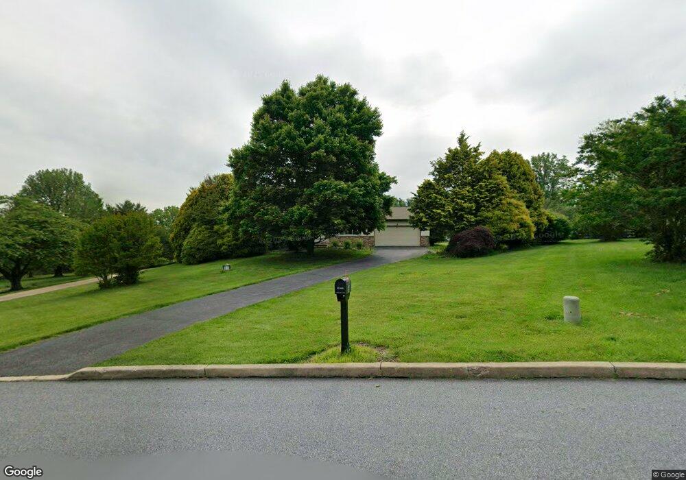
6 Pawtucket Rd West Grove, PA 19390
Estimated Value: $470,810 - $573,000
4
Beds
3
Baths
2,414
Sq Ft
$225/Sq Ft
Est. Value
About This Home
This home is located at 6 Pawtucket Rd, West Grove, PA 19390 and is currently estimated at $543,203, approximately $225 per square foot. 6 Pawtucket Rd is a home located in Chester County with nearby schools including Penn London Elementary School, Avon Grove Intermediate School, and Fred S Engle Middle School.
Ownership History
Date
Name
Owned For
Owner Type
Purchase Details
Closed on
Mar 1, 2002
Sold by
Hansen Elizabeth A and Helsel Ann M
Bought by
Humkey Charles E and Humkey Mary H
Current Estimated Value
Purchase Details
Closed on
Feb 26, 1999
Sold by
Cambria Anthony
Bought by
Melito Richard J and Melito Katherine L
Home Financials for this Owner
Home Financials are based on the most recent Mortgage that was taken out on this home.
Original Mortgage
$167,200
Interest Rate
6.76%
Create a Home Valuation Report for This Property
The Home Valuation Report is an in-depth analysis detailing your home's value as well as a comparison with similar homes in the area
Home Values in the Area
Average Home Value in this Area
Purchase History
| Date | Buyer | Sale Price | Title Company |
|---|---|---|---|
| Humkey Charles E | -- | -- | |
| Melito Richard J | $176,000 | -- |
Source: Public Records
Mortgage History
| Date | Status | Borrower | Loan Amount |
|---|---|---|---|
| Previous Owner | Melito Richard J | $167,200 |
Source: Public Records
Tax History Compared to Growth
Tax History
| Year | Tax Paid | Tax Assessment Tax Assessment Total Assessment is a certain percentage of the fair market value that is determined by local assessors to be the total taxable value of land and additions on the property. | Land | Improvement |
|---|---|---|---|---|
| 2025 | $6,246 | $154,210 | $23,520 | $130,690 |
| 2024 | $6,246 | $154,210 | $23,520 | $130,690 |
| 2023 | $6,037 | $154,210 | $23,520 | $130,690 |
| 2022 | $154 | $154,210 | $23,520 | $130,690 |
| 2021 | $5,900 | $154,210 | $23,520 | $130,690 |
| 2020 | $5,703 | $154,210 | $23,520 | $130,690 |
| 2019 | $5,561 | $154,210 | $23,520 | $130,690 |
| 2018 | $5,419 | $154,210 | $23,520 | $130,690 |
| 2017 | $5,306 | $154,210 | $23,520 | $130,690 |
| 2016 | $4,308 | $154,210 | $23,520 | $130,690 |
| 2015 | $4,308 | $154,210 | $23,520 | $130,690 |
| 2014 | $4,308 | $154,210 | $23,520 | $130,690 |
Source: Public Records
Map
Nearby Homes
- 1011 State Rd
- 12 Owenwood Dr
- 118 Westview Dr
- 140 Mill House Dr
- 430 Dartmouth Ln
- 2 Radence Ln
- 1 Brae Ct
- 2893 Newark Rd
- 653 State Rd
- Kipling Plan at Lexington Point
- Magnolia Plan at Lexington Point
- Ethan Plan at Lexington Point
- Parker Plan at Lexington Point
- Covington Plan at Lexington Point
- Harrison Plan at Lexington Point
- Nottingham Plan at Lexington Point
- Woodford Plan at Lexington Point
- Augusta Plan at Lexington Point
- Savannah Plan at Lexington Point
- Hawthorne Plan at Lexington Point