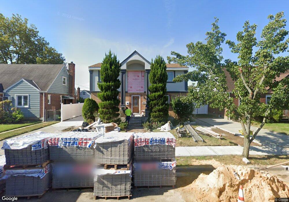
6 Pine St Elmont, NY 11003
Estimated Value: $741,790 - $789,000
3
Beds
3
Baths
1,700
Sq Ft
$450/Sq Ft
Est. Value
About This Home
This home is located at 6 Pine St, Elmont, NY 11003 and is currently estimated at $765,395, approximately $450 per square foot. 6 Pine St is a home located in Nassau County with nearby schools including Martin De Porres School and Bible Baptist Academy.
Ownership History
Date
Name
Owned For
Owner Type
Purchase Details
Closed on
Feb 14, 2014
Sold by
Kondaur Capital Corporation
Bought by
Rosario Anthony and Salcedo Joanne
Current Estimated Value
Home Financials for this Owner
Home Financials are based on the most recent Mortgage that was taken out on this home.
Original Mortgage
$255,600
Outstanding Balance
$193,535
Interest Rate
4.39%
Mortgage Type
Purchase Money Mortgage
Estimated Equity
$571,860
Purchase Details
Closed on
Oct 1, 2012
Sold by
Kondaur Capital Corp
Bought by
Bermeo Jiovany and Eros Philipe
Purchase Details
Closed on
Jul 15, 2004
Sold by
Salinas Jorge
Bought by
Bermeo Jiovany
Purchase Details
Closed on
Jan 8, 2003
Sold by
Tuzzolo James
Bought by
Salinas Jorge
Create a Home Valuation Report for This Property
The Home Valuation Report is an in-depth analysis detailing your home's value as well as a comparison with similar homes in the area
Home Values in the Area
Average Home Value in this Area
Purchase History
| Date | Buyer | Sale Price | Title Company |
|---|---|---|---|
| Rosario Anthony | $319,500 | -- | |
| Bermeo Jiovany | $671,500 | -- | |
| Bermeo Jiovany | $440,000 | -- | |
| Salinas Jorge | $220,000 | -- |
Source: Public Records
Mortgage History
| Date | Status | Borrower | Loan Amount |
|---|---|---|---|
| Open | Rosario Anthony | $255,600 |
Source: Public Records
Tax History
| Year | Tax Paid | Tax Assessment Tax Assessment Total Assessment is a certain percentage of the fair market value that is determined by local assessors to be the total taxable value of land and additions on the property. | Land | Improvement |
|---|---|---|---|---|
| 2025 | $11,726 | $486 | $216 | $270 |
| 2024 | $3,894 | $486 | $216 | $270 |
| 2023 | $9,523 | $486 | $216 | $270 |
| 2022 | $9,523 | $486 | $216 | $270 |
| 2021 | $8,819 | $473 | $210 | $263 |
| 2020 | $7,876 | $513 | $504 | $9 |
| 2019 | $7,344 | $550 | $534 | $16 |
| 2018 | $7,483 | $560 | $0 | $0 |
| 2017 | $4,004 | $543 | $340 | $203 |
| 2016 | $6,668 | $765 | $479 | $286 |
| 2015 | $4,006 | $879 | $550 | $329 |
| 2014 | $4,006 | $879 | $550 | $329 |
| 2013 | $3,756 | $879 | $550 | $329 |
Source: Public Records
Map
Nearby Homes
- 243 Biltmore Ave
- 179 Sterling Rd
- 47 Murray Hill St
- 12 Biltmore Ave
- 143 Wellington Rd
- 219 Locustwood Blvd
- 56 Seville St
- 174 Wellington Rd
- 179 Hoffman Ave
- 407 2nd St
- 174 Hoffman Ave
- 91 Elzey Ave
- 7 Catherine Ct
- 2105 Hoffman Ave
- 94 Joan Ct
- 46 1st St
- 22754 Murdock Ave
- 22731 111th Ave
- 227-50 Murdock Ave
- 22722 112th Ave
Your Personal Tour Guide
Ask me questions while you tour the home.