6 Pinewood Rd Manchester, MA 01944
Estimated Value: $3,696,000 - $5,567,000
6
Beds
9
Baths
7,546
Sq Ft
$570/Sq Ft
Est. Value
About This Home
This home is located at 6 Pinewood Rd, Manchester, MA 01944 and is currently estimated at $4,302,227, approximately $570 per square foot. 6 Pinewood Rd is a home located in Essex County with nearby schools including Manchester Essex Regional High School, Tara Montessori School, and Glen Urquhart School.
Ownership History
Date
Name
Owned For
Owner Type
Purchase Details
Closed on
Oct 14, 2004
Sold by
Nelson Robert B
Bought by
Mcquaid Kevin M
Current Estimated Value
Home Financials for this Owner
Home Financials are based on the most recent Mortgage that was taken out on this home.
Original Mortgage
$1,000,000
Interest Rate
5.8%
Mortgage Type
Purchase Money Mortgage
Purchase Details
Closed on
Dec 12, 2003
Sold by
Powers Constr Inc
Bought by
Nelson Robert B
Create a Home Valuation Report for This Property
The Home Valuation Report is an in-depth analysis detailing your home's value as well as a comparison with similar homes in the area
Home Values in the Area
Average Home Value in this Area
Purchase History
| Date | Buyer | Sale Price | Title Company |
|---|---|---|---|
| Mcquaid Kevin M | $2,250,000 | -- | |
| Nelson Robert B | $1,850,000 | -- |
Source: Public Records
Mortgage History
| Date | Status | Borrower | Loan Amount |
|---|---|---|---|
| Open | Nelson Robert B | $1,450,000 | |
| Closed | Nelson Robert B | $1,200,000 | |
| Closed | Nelson Robert B | $1,000,000 | |
| Closed | Nelson Robert B | $750,000 |
Source: Public Records
Tax History Compared to Growth
Tax History
| Year | Tax Paid | Tax Assessment Tax Assessment Total Assessment is a certain percentage of the fair market value that is determined by local assessors to be the total taxable value of land and additions on the property. | Land | Improvement |
|---|---|---|---|---|
| 2025 | $31,015 | $3,389,600 | $742,300 | $2,647,300 |
| 2024 | $29,497 | $3,154,800 | $715,900 | $2,438,900 |
| 2023 | $28,597 | $2,741,800 | $638,500 | $2,103,300 |
| 2022 | $26,926 | $2,540,200 | $593,500 | $1,946,700 |
| 2021 | $25,623 | $2,331,500 | $593,500 | $1,738,000 |
| 2020 | $25,569 | $2,185,400 | $514,800 | $1,670,600 |
| 2019 | $24,557 | $2,186,700 | $503,500 | $1,683,200 |
| 2018 | $24,119 | $2,186,700 | $503,500 | $1,683,200 |
| 2017 | $24,054 | $2,186,700 | $503,500 | $1,683,200 |
| 2016 | $23,204 | $2,096,100 | $458,500 | $1,637,600 |
| 2015 | $22,295 | $2,056,700 | $458,500 | $1,598,200 |
Source: Public Records
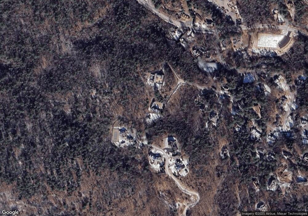
Map
Nearby Homes
- 1 Crooked Ln
- 1 Woodholm Cir
- 17 Old Essex Rd
- 37 Forster Rd
- 35 Forster Rd
- 4 Knight Rd
- 4 Windemere Park Extension
- 30 Pine St
- 10 Jersey Ln
- 6 Highland Ave
- 159 Bridge St
- 12 Vine St
- 122 Bridge St
- 48 Union St Unit 1
- 27 Norwood Ave Unit C
- 6 Summer St Unit D
- 2 and 2A Harbor St
- 56 Summer St Unit A
- 965 Hale St
- 349 Grapevine Rd
- 3 Pinewood Rd
- 22 Crooked Ln
- 4 Pinewood Rd
- 24 Crooked Ln
- 20 Crooked Ln
- 2 Pinewood Rd
- 2 Pinewood Rd Unit 1
- 19 Rockwood Heights Rd
- 23 Rockwood Heights Rd
- 1 Pinewood Rd
- 21 Rockwood Heights Rd
- 166 Pine St
- 16 Crooked Ln
- 168 Pine St
- 15 Rockwood Heights Rd
- 18 Rockwood Heights Rd
- 14 Crooked Ln
- 28 Rockwood Heights Rd
- 165 Pine St
- 16 Rockwood Heights Rd