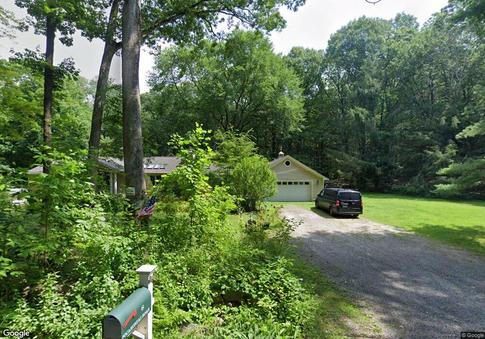
6 Pocahontas Rd Redding, CT 06896
Estimated Value: $778,000 - $1,032,000
3
Beds
4
Baths
1,921
Sq Ft
$462/Sq Ft
Est. Value
About This Home
This home is located at 6 Pocahontas Rd, Redding, CT 06896 and is currently estimated at $887,496, approximately $461 per square foot. 6 Pocahontas Rd is a home located in Fairfield County with nearby schools including Redding Elementary School, John Read Middle School, and Joel Barlow High School.
Ownership History
Date
Name
Owned For
Owner Type
Purchase Details
Closed on
Jul 22, 1999
Sold by
Zavesky David H and Zavesky Helen C
Bought by
Vig Tibor and Vig Marianna
Current Estimated Value
Purchase Details
Closed on
Dec 30, 1987
Sold by
Dowding David H
Bought by
Zavesky David H
Create a Home Valuation Report for This Property
The Home Valuation Report is an in-depth analysis detailing your home's value as well as a comparison with similar homes in the area
Home Values in the Area
Average Home Value in this Area
Purchase History
| Date | Buyer | Sale Price | Title Company |
|---|---|---|---|
| Vig Tibor | $311,000 | -- | |
| Vig Tibor | $311,000 | -- | |
| Zavesky David H | $265,000 | -- |
Source: Public Records
Mortgage History
| Date | Status | Borrower | Loan Amount |
|---|---|---|---|
| Closed | Zavesky David H | $125,000 | |
| Open | Zavesky David H | $558,025 |
Source: Public Records
Tax History
| Year | Tax Paid | Tax Assessment Tax Assessment Total Assessment is a certain percentage of the fair market value that is determined by local assessors to be the total taxable value of land and additions on the property. | Land | Improvement |
|---|---|---|---|---|
| 2025 | $12,596 | $426,400 | $154,700 | $271,700 |
| 2024 | $12,246 | $426,400 | $154,700 | $271,700 |
| 2023 | $11,807 | $426,400 | $154,700 | $271,700 |
| 2022 | $10,722 | $321,600 | $159,400 | $162,200 |
| 2021 | $5,204 | $321,600 | $159,400 | $162,200 |
| 2020 | $10,561 | $321,600 | $159,400 | $162,200 |
| 2019 | $5,090 | $321,600 | $159,400 | $162,200 |
| 2018 | $10,201 | $321,600 | $159,400 | $162,200 |
| 2017 | $8,566 | $289,200 | $152,200 | $137,000 |
| 2016 | $8,456 | $289,200 | $152,200 | $137,000 |
| 2015 | $8,361 | $289,200 | $152,200 | $137,000 |
| 2014 | $8,361 | $289,200 | $152,200 | $137,000 |
Source: Public Records
Map
Nearby Homes
- 138 Putnam Park Rd
- 193 Chestnut Ridge Rd
- 2 Longwood Dr
- 173 Chestnut Ridge Rd
- 4 Stone Dam Rd
- 24 Costa Ln
- 41 Turkey Plain Rd
- 241 Black Rock Turnpike
- 134 Nashville Rd
- 6 Katrina Cir
- 41 Sullivan Dr
- 9 Katrina Cir
- 45 Great Pasture Rd
- 18 Goodhill Rd
- 4 Bailey Blvd Unit 4
- 3 Bailey Blvd Unit 3
- 9 Chuck Wagon Ln
- 109 Codfish Hill Rd
- 62 Codfish Hill Rd
- 48 & 50 Nashville Rd
- 2 Pocahontas Rd
- 12 Pocahontas Rd
- 48 Putnam Park Rd
- 57 Putnam Park Rd
- 46 Putnam Park Rd
- 50 Putnam Park Rd
- 477 Black Rock Turnpike
- 55 Putnam Park Rd
- 475 Black Rock Turnpike
- 20 Pocahontas Rd
- 489 Black Rock Turnpike
- 53 Putnam Park Rd
- 40 Putnam Park Rd
- 479 Black Rock Turnpike
- 47 Putnam Park Rd
- 49 Putnam Park Rd
- 469 Black Rock Turnpike
- 44 Putnam Park Rd
- 485 Black Rock Turnpike
- 490 Black Rock Turnpike
Your Personal Tour Guide
Ask me questions while you tour the home.