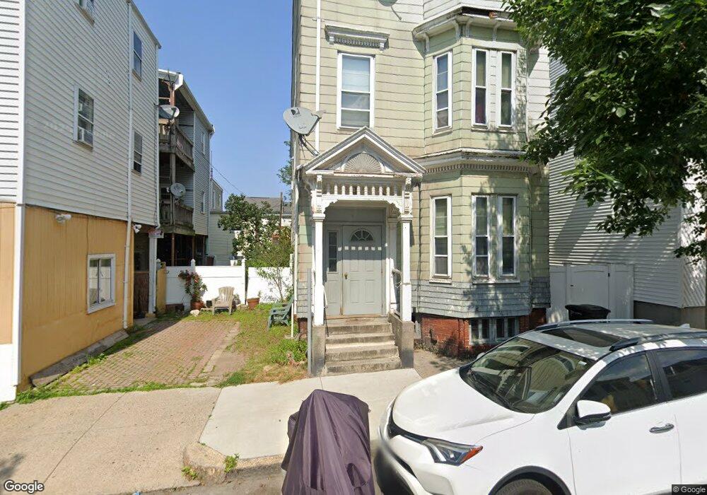
6 Prescott St Boston, MA 02128
Eagle Hill NeighborhoodEstimated Value: $977,000 - $1,249,000
4
Beds
3
Baths
4,077
Sq Ft
$275/Sq Ft
Est. Value
About This Home
This home is located at 6 Prescott St, Boston, MA 02128 and is currently estimated at $1,119,333, approximately $274 per square foot. 6 Prescott St is a home located in Suffolk County with nearby schools including Excel Academy East Boston and Brooke Charter Schools East Boston.
Ownership History
Date
Name
Owned For
Owner Type
Purchase Details
Closed on
Oct 13, 1993
Sold by
Dellaria Salvatore and Dellaria Louis
Bought by
Facada John G and Facada Domingas
Current Estimated Value
Home Financials for this Owner
Home Financials are based on the most recent Mortgage that was taken out on this home.
Original Mortgage
$46,000
Interest Rate
6.87%
Mortgage Type
Purchase Money Mortgage
Create a Home Valuation Report for This Property
The Home Valuation Report is an in-depth analysis detailing your home's value as well as a comparison with similar homes in the area
Home Values in the Area
Average Home Value in this Area
Purchase History
| Date | Buyer | Sale Price | Title Company |
|---|---|---|---|
| Facada John G | $38,667 | -- | |
| Facada John G | $19,333 | -- |
Source: Public Records
Mortgage History
| Date | Status | Borrower | Loan Amount |
|---|---|---|---|
| Closed | Facada John G | $46,000 | |
| Previous Owner | Facada John G | $10,000 | |
| Previous Owner | Facada John G | $15,000 |
Source: Public Records
Tax History Compared to Growth
Tax History
| Year | Tax Paid | Tax Assessment Tax Assessment Total Assessment is a certain percentage of the fair market value that is determined by local assessors to be the total taxable value of land and additions on the property. | Land | Improvement |
|---|---|---|---|---|
| 2025 | $9,599 | $828,900 | $271,700 | $557,200 |
| 2024 | $9,369 | $859,500 | $291,100 | $568,400 |
| 2023 | $9,139 | $850,900 | $288,200 | $562,700 |
| 2022 | $8,493 | $780,600 | $264,400 | $516,200 |
| 2021 | $8,329 | $780,600 | $264,400 | $516,200 |
| 2020 | $5,978 | $566,100 | $295,500 | $270,600 |
| 2019 | $5,327 | $505,400 | $178,000 | $327,400 |
| 2018 | $4,729 | $451,200 | $178,000 | $273,200 |
| 2017 | $4,153 | $392,200 | $178,000 | $214,200 |
| 2016 | $3,751 | $341,000 | $178,000 | $163,000 |
| 2015 | $3,720 | $307,200 | $128,200 | $179,000 |
| 2014 | $3,360 | $267,100 | $128,200 | $138,900 |
Source: Public Records
Map
Nearby Homes
- 221 Trenton St
- 1 Prescott St Unit 304
- 118 White St
- 280 Lexington St
- 215 Lexington St
- 278 Princeton St Unit 2
- 212 Princeton St Unit 1
- 316 Princeton St Unit 2
- 403-405 Saratoga St
- 305R Lexington St
- 421 Saratoga St Unit 4A
- 421 Saratoga St Unit 1
- 421 Saratoga St Unit 3
- 147 Trenton St Unit 3
- 125 Putnam St
- 167 Lexington St Unit 1
- 167 Lexington St Unit 167
- 233 Bennington St
- 123 Trenton St Unit 3
- 117 Falcon St Unit 3
- 6 Prescott St Unit 1
- 6 Prescott St Unit 2
- 14 Prescott St Unit 16
- 8 Prescott St
- 8 Prescott St Unit 2
- 8 Prescott St Unit 3
- 221 Trenton St Unit 2
- 10 Prescott St
- 2 Prescott St
- 223 Trenton St
- 223 Trenton St
- 223 Trenton St Unit 2
- 260 Lexington St
- 260 Lexington St Unit 2
- 262 Lexington St
- 217 Trenton St
- 225 Trenton St Unit 227
- 258 Lexington St
- 258 Lexington St
- 258 Lexington St Unit 3-1