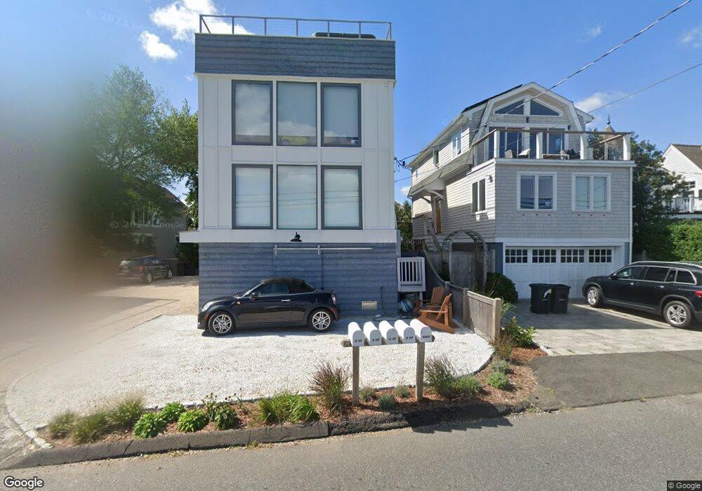
6 Promised Rd Westport, CT 06880
Saugatuck NeighborhoodEstimated Value: $1,144,000 - $1,700,000
2
Beds
1
Bath
624
Sq Ft
$2,223/Sq Ft
Est. Value
About This Home
This home is located at 6 Promised Rd, Westport, CT 06880 and is currently estimated at $1,387,171, approximately $2,223 per square foot. 6 Promised Rd is a home located in Fairfield County with nearby schools including King's Highway Elementary School, Coleytown Middle School, and Staples High School.
Ownership History
Date
Name
Owned For
Owner Type
Purchase Details
Closed on
Jun 22, 2009
Sold by
Restieri Philip L
Bought by
Jackson Robert B
Current Estimated Value
Home Financials for this Owner
Home Financials are based on the most recent Mortgage that was taken out on this home.
Original Mortgage
$248,000
Interest Rate
4.91%
Create a Home Valuation Report for This Property
The Home Valuation Report is an in-depth analysis detailing your home's value as well as a comparison with similar homes in the area
Home Values in the Area
Average Home Value in this Area
Purchase History
| Date | Buyer | Sale Price | Title Company |
|---|---|---|---|
| Jackson Robert B | $310,000 | -- | |
| Jackson Robert B | $310,000 | -- |
Source: Public Records
Mortgage History
| Date | Status | Borrower | Loan Amount |
|---|---|---|---|
| Open | Jackson Robert B | $125,000 | |
| Open | Jackson Robert B | $417,000 | |
| Closed | Jackson Robert B | $248,000 |
Source: Public Records
Tax History Compared to Growth
Tax History
| Year | Tax Paid | Tax Assessment Tax Assessment Total Assessment is a certain percentage of the fair market value that is determined by local assessors to be the total taxable value of land and additions on the property. | Land | Improvement |
|---|---|---|---|---|
| 2025 | $11,122 | $589,700 | $239,400 | $350,300 |
| 2024 | $10,980 | $589,700 | $239,400 | $350,300 |
| 2023 | $10,821 | $589,700 | $239,400 | $350,300 |
| 2022 | $10,656 | $589,700 | $239,400 | $350,300 |
| 2021 | $13,829 | $589,700 | $239,400 | $350,300 |
| 2020 | $10,604 | $634,600 | $224,000 | $410,600 |
| 2019 | $10,699 | $634,600 | $224,000 | $410,600 |
| 2018 | $13,260 | $634,600 | $224,000 | $410,600 |
| 2017 | $13,014 | $634,600 | $224,000 | $410,600 |
| 2016 | $10,699 | $634,600 | $224,000 | $410,600 |
| 2015 | $8,260 | $456,600 | $250,000 | $206,600 |
| 2014 | $8,191 | $456,600 | $250,000 | $206,600 |
Source: Public Records
Map
Nearby Homes
- 3 Nassau Rd
- 8 Canal Rd
- 10 Surf Rd
- 5 Minard Dr
- 4 Sandpiper Rd
- 17 Pequot Dr
- 22 Burritts Landing S
- 14 Owenoke Park
- 230 Saugatuck Ave Unit 6
- 27 N Bridge St
- 11 Manitou Ct
- 6 Stony Point Rd
- 18 Roxbury Rd
- 1 Island Dr Unit 18
- 43 Gregory Blvd
- 108 Gregory Blvd
- 42 Winfield St
- 26 Hiawatha Lane Extension
- 14 3rd St
- 14 Dairy Farm Rd