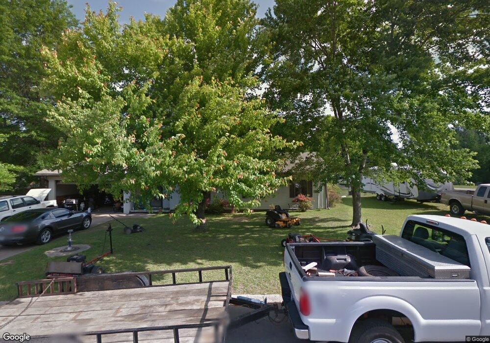
6 Rainbow Ln Sheridan, AR 72150
Estimated Value: $177,796 - $237,000
--
Bed
2
Baths
1,994
Sq Ft
$107/Sq Ft
Est. Value
About This Home
This home is located at 6 Rainbow Ln, Sheridan, AR 72150 and is currently estimated at $212,949, approximately $106 per square foot. 6 Rainbow Ln is a home located in Grant County with nearby schools including Sheridan High School.
Ownership History
Date
Name
Owned For
Owner Type
Purchase Details
Closed on
Aug 17, 2011
Sold by
Wells Fargo Bank Na
Bought by
Mann William
Current Estimated Value
Home Financials for this Owner
Home Financials are based on the most recent Mortgage that was taken out on this home.
Original Mortgage
$76,022
Outstanding Balance
$52,292
Interest Rate
4.43%
Mortgage Type
New Conventional
Estimated Equity
$160,657
Purchase Details
Closed on
Jul 13, 2007
Sold by
Srebbins Nancy
Bought by
Srebbins Nancy and Delaguila Elliot
Purchase Details
Closed on
Aug 15, 2002
Bought by
Corey
Purchase Details
Closed on
Mar 1, 1998
Bought by
Mitchell
Purchase Details
Closed on
Jul 1, 1990
Bought by
Franklin
Purchase Details
Closed on
Oct 4, 1985
Bought by
Sims
Purchase Details
Closed on
Sep 20, 1984
Bought by
First South Federal S & L
Create a Home Valuation Report for This Property
The Home Valuation Report is an in-depth analysis detailing your home's value as well as a comparison with similar homes in the area
Home Values in the Area
Average Home Value in this Area
Purchase History
| Date | Buyer | Sale Price | Title Company |
|---|---|---|---|
| Mann William | $72,000 | Bankers Title | |
| Srebbins Nancy | -- | None Available | |
| Corey | $61,000 | -- | |
| Mitchell | $83,000 | -- | |
| Franklin | -- | -- | |
| Sims | $59,500 | -- | |
| First South Federal S & L | $6,000 | -- |
Source: Public Records
Mortgage History
| Date | Status | Borrower | Loan Amount |
|---|---|---|---|
| Open | Mann William | $76,022 |
Source: Public Records
Tax History Compared to Growth
Tax History
| Year | Tax Paid | Tax Assessment Tax Assessment Total Assessment is a certain percentage of the fair market value that is determined by local assessors to be the total taxable value of land and additions on the property. | Land | Improvement |
|---|---|---|---|---|
| 2024 | $1,158 | $25,740 | $2,850 | $22,890 |
| 2023 | $733 | $25,740 | $2,850 | $22,890 |
| 2022 | $783 | $25,740 | $2,850 | $22,890 |
| 2021 | $783 | $25,740 | $2,850 | $22,890 |
| 2020 | $766 | $25,360 | $5,200 | $20,160 |
| 2019 | $766 | $25,360 | $5,200 | $20,160 |
| 2018 | $791 | $25,360 | $5,200 | $20,160 |
| 2017 | $791 | $25,360 | $5,200 | $20,160 |
| 2015 | -- | $24,090 | $4,600 | $19,490 |
| 2014 | -- | $24,090 | $4,600 | $19,490 |
| 2012 | -- | $24,090 | $4,600 | $19,490 |
Source: Public Records
Map
Nearby Homes
- 9 Donna Dr
- 0 Gary
- 507 Gary Ln
- 1105 S Rose St
- 50 Toler St
- 700 Shannon Ln
- 556 Shannon Ln
- 909 Reynolds Dr
- 701 W Gum St
- 39 Valley Ct
- 0 Freda Lane (North Lot)
- 1005 Kari Dr
- 0 Freda Lane (South Lot)
- 00 Grant County 9
- 7 Robin Dr
- 0 Center Street Hwy Unit 25041214
- 610 S Rock St
- 904 Grant 9
- 27 Carolyn Rd
- 0 W Bell St
- 620 S Red St
- 0 Rainbow Ln
- 1 Rainbow Ln
- 7 Rainbow Ln
- 803 S Rose St
- 813 S Rose St Unit 46
- 807 S Rose St
- 623 S Red St
- 706 S Red St
- 703 S Red St
- 0 Rose St @ Red St Unit 19004536
- 0 Rose St & Red St Unit 21007310
- 707 S Red St
- 905 S Rose St
- 710 S Red St
- 704 Reynolds Dr
- 902 S Rose St
- 713 S Rose St
- 708 Reynolds Dr
- 701 Reynolds Dr