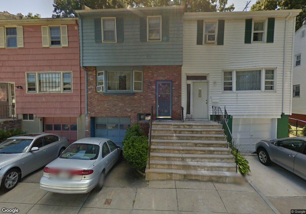
6 Ralston Rd Mattapan, MA 02126
Hyde Park NeighborhoodEstimated Value: $537,000 - $608,000
3
Beds
2
Baths
1,280
Sq Ft
$460/Sq Ft
Est. Value
About This Home
This home is located at 6 Ralston Rd, Mattapan, MA 02126 and is currently estimated at $588,502, approximately $459 per square foot. 6 Ralston Rd is a home located in Suffolk County with nearby schools including Boston Preparatory Charter Public School and Berea Seventh-day Adventist Academy.
Ownership History
Date
Name
Owned For
Owner Type
Purchase Details
Closed on
Feb 13, 1989
Sold by
Jeffers Velma M
Bought by
Miller Annie R
Current Estimated Value
Home Financials for this Owner
Home Financials are based on the most recent Mortgage that was taken out on this home.
Original Mortgage
$92,500
Interest Rate
10.73%
Mortgage Type
Purchase Money Mortgage
Create a Home Valuation Report for This Property
The Home Valuation Report is an in-depth analysis detailing your home's value as well as a comparison with similar homes in the area
Home Values in the Area
Average Home Value in this Area
Purchase History
| Date | Buyer | Sale Price | Title Company |
|---|---|---|---|
| Miller Annie R | $100,000 | -- |
Source: Public Records
Mortgage History
| Date | Status | Borrower | Loan Amount |
|---|---|---|---|
| Open | Miller Annie R | $120,000 | |
| Closed | Miller Annie R | $108,182 | |
| Closed | Miller Annie R | $86,000 | |
| Closed | Miller Annie R | $92,500 |
Source: Public Records
Tax History Compared to Growth
Tax History
| Year | Tax Paid | Tax Assessment Tax Assessment Total Assessment is a certain percentage of the fair market value that is determined by local assessors to be the total taxable value of land and additions on the property. | Land | Improvement |
|---|---|---|---|---|
| 2025 | $5,370 | $463,700 | $115,600 | $348,100 |
| 2024 | $4,742 | $435,000 | $112,500 | $322,500 |
| 2023 | $4,326 | $402,800 | $104,200 | $298,600 |
| 2022 | $4,094 | $376,300 | $97,300 | $279,000 |
| 2021 | $3,744 | $350,900 | $93,600 | $257,300 |
| 2020 | $3,652 | $345,800 | $96,200 | $249,600 |
| 2019 | $3,313 | $314,300 | $72,000 | $242,300 |
| 2018 | $3,137 | $299,300 | $72,000 | $227,300 |
| 2017 | $2,909 | $274,700 | $72,000 | $202,700 |
| 2016 | $2,850 | $259,100 | $72,000 | $187,100 |
| 2015 | $2,025 | $167,200 | $56,100 | $111,100 |
| 2014 | -- | $154,500 | $56,100 | $98,400 |
Source: Public Records
Map
Nearby Homes
- 90 Hollingsworth St
- 23 Caton St
- 25 Alpine St Unit 7
- 645 River St
- 7 Winborough St
- 48-50 Rockdale St
- 839-843 Cummins Hwy
- 770 Cummins Hwy Unit 1
- 770 Cummins Hwy Unit 22
- 34 Ridlon Rd
- 20 Massasoit St
- 10 Brockton St
- 42 Osceola St
- 231 Itasca St
- 95 Woodhaven St
- 0 Tina Ave
- 112 Brush Hill Rd
- 16 Blue Hill Ave
- 265 Hebron St
- 84 Blue Hills Pkwy
- 4 Ralston Rd
- 4 Ralston Rd
- 8 Ralston Rd
- 2 Ralston Rd
- 10 Ralston Rd
- 12 Ralston Rd
- 14 Ralston Rd
- 16 Ralston Rd
- 6 Rainier Rd
- 66 Greenfield Rd
- 0 Greenfield Rd Unit 3
- 57 Greenfield Rd
- 18 Ralston Rd
- 129 Hollingsworth St
- 10 Rainier Rd
- 131 Hollingsworth St
- 20 Ralston Rd
- 22 Ralston Rd
- 135 Hollingsworth St
- 119 Hollingsworth St