6 Ram's Head Ln York, ME 03909
York NeighborhoodEstimated Value: $578,000 - $943,000
Studio
--
Bath
--
Sq Ft
439,956
Sq Ft Lot
About This Home
This home is located at 6 Ram's Head Ln, York, ME 03909 and is currently estimated at $705,621. 6 Ram's Head Ln is a home located in York County with nearby schools including Village Elementary School, Coastal Ridge Elementary School, and York Middle School.
Ownership History
Date
Name
Owned For
Owner Type
Purchase Details
Closed on
Feb 21, 2025
Sold by
Walsh Peter E and Walsh Mary L
Bought by
Quinn Mark A and Quinn Tarin M
Current Estimated Value
Purchase Details
Closed on
Aug 21, 2019
Sold by
Connors Emily
Bought by
Kurtz Daniel J and Mckee Wendy A
Purchase Details
Closed on
Jan 12, 2018
Sold by
Ht Rt 2 and Parkinson
Bought by
Vinter Stephen T and Vinter Patricia G
Purchase Details
Closed on
Nov 6, 2014
Sold by
Pakko Ridge Rental Props
Bought by
Ht 2 Rt and Crowell
Purchase Details
Closed on
Jul 18, 2011
Sold by
Merritt Brent A and Merritt Mary J
Bought by
Pakko Ridge Rental Props
Create a Home Valuation Report for This Property
The Home Valuation Report is an in-depth analysis detailing your home's value as well as a comparison with similar homes in the area
Home Values in the Area
Average Home Value in this Area
Purchase History
| Date | Buyer | Sale Price | Title Company |
|---|---|---|---|
| Quinn Mark A | $551,000 | None Available | |
| Quinn Mark A | $551,000 | None Available | |
| Quinn Mark A | $551,000 | None Available | |
| Kurtz Daniel J | -- | -- | |
| Kurtz Daniel J | -- | -- | |
| Kurtz Daniel J | -- | -- | |
| Vinter Stephen T | -- | -- | |
| Vinter Stephen T | -- | -- | |
| Vinter Stephen T | -- | -- | |
| Ht 2 Rt | -- | -- | |
| Ht 2 Rt | -- | -- | |
| Pakko Ridge Rental Props | -- | -- | |
| Pakko Ridge Rental Props | -- | -- |
Source: Public Records
Tax History
| Year | Tax Paid | Tax Assessment Tax Assessment Total Assessment is a certain percentage of the fair market value that is determined by local assessors to be the total taxable value of land and additions on the property. | Land | Improvement |
|---|---|---|---|---|
| 2024 | $2,914 | $346,900 | $346,900 | $0 |
| 2023 | $2,931 | $346,900 | $346,900 | $0 |
| 2022 | $2,966 | $346,900 | $346,900 | $0 |
| 2021 | $3,452 | $346,900 | $346,900 | $0 |
| 2020 | $2,271 | $204,600 | $204,600 | $0 |
| 2019 | $2,281 | $204,600 | $204,600 | $0 |
Source: Public Records
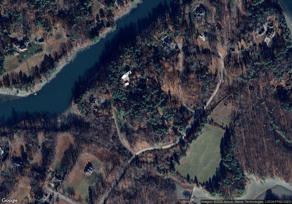
Map
Nearby Homes
- 9 Jeffrey Dr
- 1 River Farm Rd
- 108 U S 1
- 75 Caincrest Rd
- 8 Ash Ln
- 7 Winterbrook Ct
- 2 Woodside Meadow Rd
- 7 Winterbrook Dr
- 8 Colony Way
- 14 Colony Way
- 20 Colony Way
- 59 Sandalwood Cir
- 49 Sandalwood Cir
- 33 Sandalwood Cir
- 13 Washburn Farm Ln Unit 7
- 4 Fall Mill Rd
- 190 York St
- 281 York St
- 2 Lils Aly
- 294 York St Unit 1
- 6 Rams Head Ln
- 8 Rams Head Ln
- 0 Rams Head Ln
- 4 Rams Head Ln
- 12 Rams Head Ln
- 2 Rams Head Ln
- 14 Rams Head Ln
- 229 Us Route 1
- 229 U S 1
- 10 Rams Head Ln
- 100 Southside Rd
- 130 Southside Rd
- 90 Southside Rd
- 253 Us Route 1
- 11 Rams Head Ln
- 80 Southside Rd
- 101 Southside Rd
- 13 Rams Head Ln
- 13 Ram's Head Ln
- 74 Southside Rd
Your Personal Tour Guide
Ask me questions while you tour the home.