6 Redding Ln Freeport, ME 04032
Estimated Value: $746,000 - $1,578,000
3
Beds
3
Baths
2,275
Sq Ft
$489/Sq Ft
Est. Value
About This Home
This home is located at 6 Redding Ln, Freeport, ME 04032 and is currently estimated at $1,113,347, approximately $489 per square foot. 6 Redding Ln is a home located in Cumberland County with nearby schools including Morse Street School, Mast Landing School, and Freeport Middle School.
Create a Home Valuation Report for This Property
The Home Valuation Report is an in-depth analysis detailing your home's value as well as a comparison with similar homes in the area
Home Values in the Area
Average Home Value in this Area
Tax History
| Year | Tax Paid | Tax Assessment Tax Assessment Total Assessment is a certain percentage of the fair market value that is determined by local assessors to be the total taxable value of land and additions on the property. | Land | Improvement |
|---|---|---|---|---|
| 2025 | $9,951 | $718,500 | $299,900 | $418,600 |
| 2024 | $9,406 | $704,600 | $286,000 | $418,600 |
| 2023 | $8,459 | $615,200 | $251,600 | $363,600 |
| 2022 | $8,048 | $589,600 | $226,000 | $363,600 |
| 2021 | $7,872 | $589,700 | $226,000 | $363,700 |
| 2020 | $7,732 | $552,300 | $209,300 | $343,000 |
| 2019 | $7,385 | $516,400 | $197,500 | $318,900 |
| 2018 | $7,219 | $479,700 | $184,500 | $295,200 |
| 2017 | $6,905 | $461,900 | $180,200 | $281,700 |
| 2016 | $6,630 | $419,600 | $161,800 | $257,800 |
| 2015 | $6,683 | $397,800 | $153,200 | $244,600 |
| 2014 | $6,285 | $397,800 | $153,200 | $244,600 |
| 2013 | $6,055 | $382,000 | $151,300 | $230,700 |
Source: Public Records
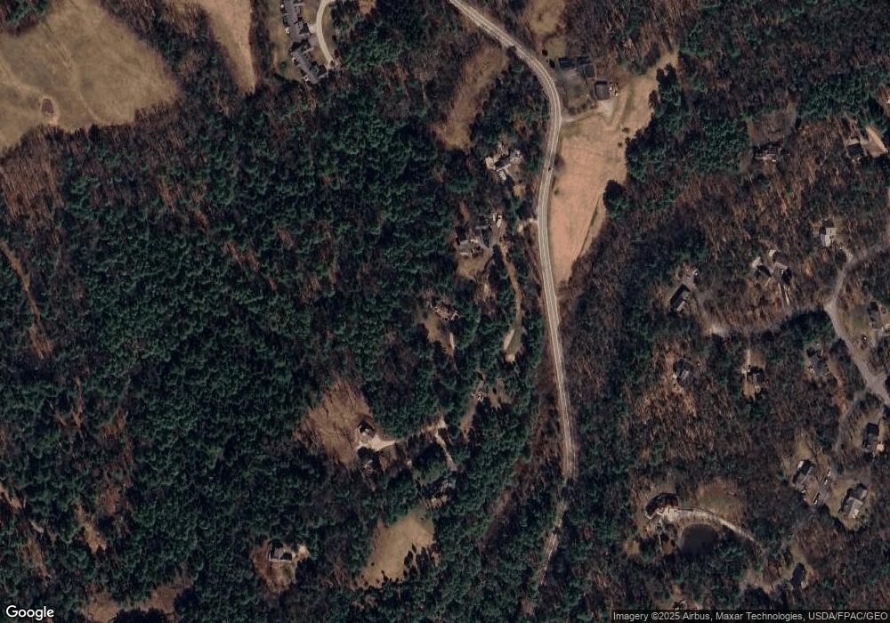
Map
Nearby Homes
- 200 Sisquisic Trail
- 20 Harvest Ridge Rd Unit 23
- 26 Harvest Ridge Rd Unit 24
- 203 Bluff Rd Unit 13
- 52 Blueberry Cove Rd Unit 52
- 9 Gables Dr Unit 9
- 0 Bayview St
- 172 E Main St
- 6 Daybreak Ln Unit 18
- 15 Linwood Rd Unit 15
- 86 Pleasant St
- 16 Rocky Hill Rd
- 109 Melissa Dr
- 18 Portland St
- 67 Farmview Ln
- 1 Railroad Square Unit Townhome C
- 1 Railroad Square Unit 103
- 1 Railroad Square Unit 205
- 1 Railroad Square Unit 305
- 1 Railroad Square Unit 403
Your Personal Tour Guide
Ask me questions while you tour the home.