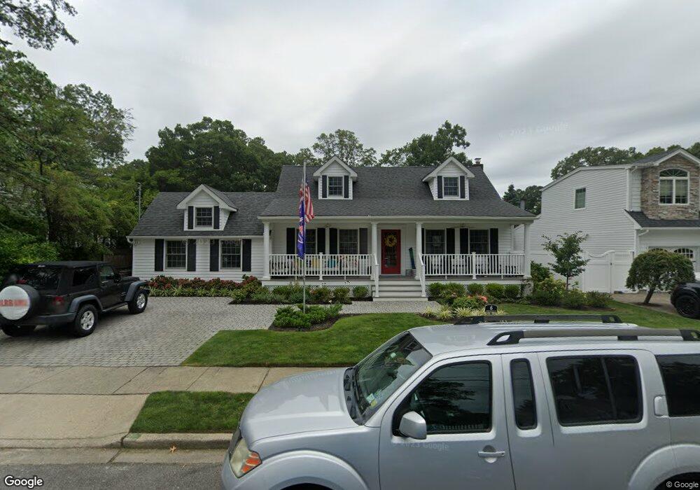
6 Rhode Island Ave Unit A Massapequa, NY 11758
Estimated Value: $699,759 - $810,000
--
Bed
2
Baths
1,400
Sq Ft
$539/Sq Ft
Est. Value
About This Home
This home is located at 6 Rhode Island Ave Unit A, Massapequa, NY 11758 and is currently estimated at $754,880, approximately $539 per square foot. 6 Rhode Island Ave Unit A is a home located in Nassau County with nearby schools including Massapequa High School - Ames Campus, Berner Middle School, and Massapequa High School.
Ownership History
Date
Name
Owned For
Owner Type
Purchase Details
Closed on
Sep 10, 2021
Sold by
Gabel Ronald and Gabel Deborah
Bought by
Gabel Trust
Current Estimated Value
Purchase Details
Closed on
Jun 27, 2005
Sold by
Smihula Lisa
Bought by
Gabel Ronald
Purchase Details
Closed on
Nov 17, 1995
Sold by
Battafarano Robert and Battafarano Carole
Bought by
Battafarano Robert and Battafarano Carole
Home Financials for this Owner
Home Financials are based on the most recent Mortgage that was taken out on this home.
Original Mortgage
$120,000
Interest Rate
7.37%
Mortgage Type
Purchase Money Mortgage
Create a Home Valuation Report for This Property
The Home Valuation Report is an in-depth analysis detailing your home's value as well as a comparison with similar homes in the area
Home Values in the Area
Average Home Value in this Area
Purchase History
| Date | Buyer | Sale Price | Title Company |
|---|---|---|---|
| Gabel Trust | -- | None Available | |
| Gabel Ronald | $537,000 | -- | |
| Battafarano Robert | -- | -- |
Source: Public Records
Mortgage History
| Date | Status | Borrower | Loan Amount |
|---|---|---|---|
| Previous Owner | Battafarano Robert | $120,000 |
Source: Public Records
Tax History Compared to Growth
Tax History
| Year | Tax Paid | Tax Assessment Tax Assessment Total Assessment is a certain percentage of the fair market value that is determined by local assessors to be the total taxable value of land and additions on the property. | Land | Improvement |
|---|---|---|---|---|
| 2025 | $10,403 | $490 | $180 | $310 |
| 2024 | $2,367 | $482 | $177 | $305 |
| 2023 | $8,054 | $501 | $184 | $317 |
| 2022 | $8,054 | $507 | $186 | $321 |
| 2021 | $6,963 | $520 | $182 | $338 |
| 2020 | $8,147 | $532 | $455 | $77 |
| 2019 | $1,694 | $570 | $457 | $113 |
| 2018 | $3,166 | $608 | $0 | $0 |
| 2017 | $3,166 | $646 | $460 | $186 |
| 2016 | $4,826 | $684 | $438 | $246 |
| 2015 | $1,720 | $722 | $463 | $259 |
| 2014 | $1,720 | $722 | $463 | $259 |
| 2013 | $1,671 | $760 | $487 | $273 |
Source: Public Records
Map
Nearby Homes
- 22 Commonwealth Ave
- 20 Boston Ave
- 73 Massachusetts Ave
- 76 Hamilton Ave
- 1427 Washington Ave
- 11 Pittsburgh Ave
- 4030 Jerusalem Ave Unit 1B
- 101 Toronto Ave
- 3970 Worthmor Dr
- 102 Boston Ave
- 598 N Suffolk Ave
- 70 Pittsburgh Ave
- 121 Ontario Ave
- 126 Commonwealth Ave
- 4057 Eve Dr
- 128 Massachusetts Ave
- 3914 Jerusalem Ave
- 3975 Anne Dr
- 1441 Roth Rd
- 51 Michigan Ave
- 6 Rhode Island Ave
- 8 Rhode Island Ave
- 4 Rhode Island Ave
- 17 Commonwealth Ave
- 15 Commonwealth Ave
- 5 Rhode Island Ave
- 2 Rhode Island Ave
- 2 Rhode Island Ave
- 11 Commonwealth Ave
- 23 Commonwealth Ave
- 9 Commonwealth Ave
- 7 Rhode Island Ave Unit A
- 7 Rhode Island Ave
- 7 Rhode Island Ave
- 8 Bedford Ave
- 1 Rhode Island Ave
- 1 Rhode Island Ave
- 3 Rhode Island Ave
- 7 Bedford Ave
- 9 Rhode Island Ave