6 Ridge Ln Nantucket, MA 02554
Estimated Value: $2,309,000 - $3,234,000
Studio
2
Baths
--
Sq Ft
12,632
Sq Ft Lot
About This Home
This home is located at 6 Ridge Ln, Nantucket, MA 02554 and is currently estimated at $2,811,873. 6 Ridge Ln is a home located in Nantucket County with nearby schools including Nantucket Elementary School, Cyrus Peirce Middle School, and Nantucket High School.
Ownership History
Date
Name
Owned For
Owner Type
Purchase Details
Closed on
Oct 24, 1995
Sold by
Craine David J and Craine Ann Marie T
Bought by
Gottlieb Seth W and Gottlieb Karen S
Current Estimated Value
Home Financials for this Owner
Home Financials are based on the most recent Mortgage that was taken out on this home.
Original Mortgage
$184,000
Outstanding Balance
$1,291
Interest Rate
7.6%
Mortgage Type
Purchase Money Mortgage
Estimated Equity
$2,810,582
Create a Home Valuation Report for This Property
The Home Valuation Report is an in-depth analysis detailing your home's value as well as a comparison with similar homes in the area
Home Values in the Area
Average Home Value in this Area
Purchase History
| Date | Buyer | Sale Price | Title Company |
|---|---|---|---|
| Gottlieb Seth W | $230,000 | -- |
Source: Public Records
Mortgage History
| Date | Status | Borrower | Loan Amount |
|---|---|---|---|
| Open | Gottlieb Seth W | $184,000 |
Source: Public Records
Tax History
| Year | Tax Paid | Tax Assessment Tax Assessment Total Assessment is a certain percentage of the fair market value that is determined by local assessors to be the total taxable value of land and additions on the property. | Land | Improvement |
|---|---|---|---|---|
| 2025 | $7,183 | $2,189,800 | $825,300 | $1,364,500 |
| 2024 | $6,566 | $2,097,700 | $766,400 | $1,331,300 |
| 2023 | $4,872 | $1,517,900 | $651,300 | $866,600 |
| 2022 | $4,345 | $1,161,800 | $496,000 | $665,800 |
| 2021 | $4,115 | $1,133,700 | $467,900 | $665,800 |
| 2020 | $4,339 | $1,257,600 | $561,500 | $696,100 |
| 2019 | $4,540 | $1,351,200 | $655,100 | $696,100 |
| 2018 | $4,235 | $1,199,800 | $561,500 | $638,300 |
| 2017 | $4,079 | $1,203,300 | $580,200 | $623,100 |
| 2016 | $4,126 | $1,227,900 | $636,300 | $591,600 |
| 2015 | $3,621 | $1,003,000 | $455,400 | $547,600 |
| 2014 | $3,797 | $1,009,800 | $455,400 | $554,400 |
Source: Public Records
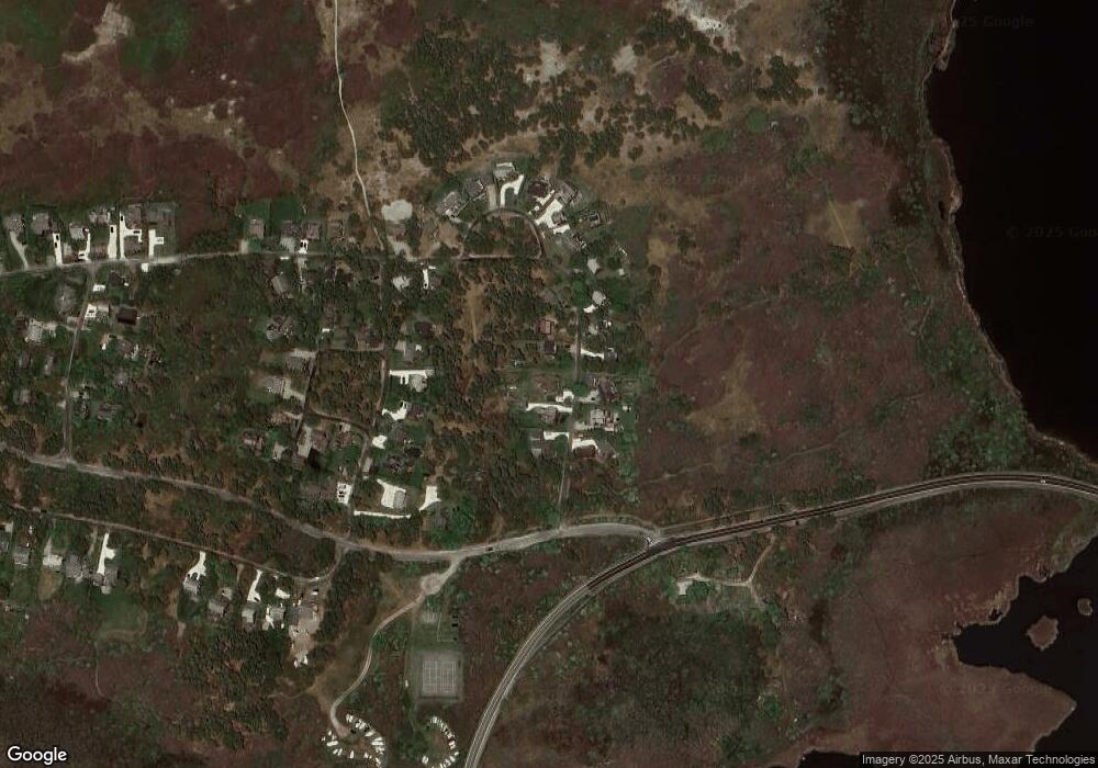
Map
Nearby Homes
- 6 Arkansas Ave
- 4 Goose Cove Way
- 158 Madaket Rd
- 11 Columbus Ave
- 45 Starbuck Rd
- 321 Madaket Rd
- 22 Sheep Pond Rd
- 45 Sheep Pond Rd
- 9 Millbrook Road (Portion)
- 74 Madaket Rd
- 15 Hallowell Ln
- 8 Priscilla Ln
- 10 Pilgrim Rd
- 11A Meadow Ln Unit B
- 6 Bittersweet Ln
- 27 N Liberty St
- 26 Milk St Unit Lot 1
- 4 Red Mill Ln
- 10 Milk St
- 18 Mill St
Your Personal Tour Guide
Ask me questions while you tour the home.