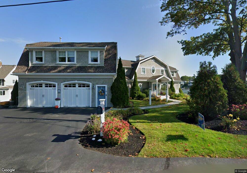
6 Riverside Rd Gloucester, MA 01930
Riverview NeighborhoodEstimated Value: $952,000 - $4,760,000
6
Beds
4
Baths
4,840
Sq Ft
$628/Sq Ft
Est. Value
About This Home
This home is located at 6 Riverside Rd, Gloucester, MA 01930 and is currently estimated at $3,040,247, approximately $628 per square foot. 6 Riverside Rd is a home located in Essex County with nearby schools including Beeman Memorial, Ralph B O'maley Middle School, and Gloucester High School.
Ownership History
Date
Name
Owned For
Owner Type
Purchase Details
Closed on
Sep 1, 2004
Sold by
Gray Colleen J and Gray Stuart F
Bought by
Caruso Joseph P
Current Estimated Value
Purchase Details
Closed on
Mar 23, 2001
Sold by
James Karl C and James Linda M
Bought by
Gray James R
Purchase Details
Closed on
Jul 18, 1988
Sold by
Eckhardt Gladys L
Bought by
James Karl C
Create a Home Valuation Report for This Property
The Home Valuation Report is an in-depth analysis detailing your home's value as well as a comparison with similar homes in the area
Home Values in the Area
Average Home Value in this Area
Purchase History
| Date | Buyer | Sale Price | Title Company |
|---|---|---|---|
| Caruso Joseph P | $1,050,000 | -- | |
| Gray James R | $745,000 | -- | |
| James Karl C | $334,650 | -- |
Source: Public Records
Mortgage History
| Date | Status | Borrower | Loan Amount |
|---|---|---|---|
| Open | James Karl C | $300,000 | |
| Previous Owner | James Karl C | $656,000 |
Source: Public Records
Tax History
| Year | Tax Paid | Tax Assessment Tax Assessment Total Assessment is a certain percentage of the fair market value that is determined by local assessors to be the total taxable value of land and additions on the property. | Land | Improvement |
|---|---|---|---|---|
| 2025 | $29,976 | $3,083,900 | $1,555,700 | $1,528,200 |
| 2024 | $29,218 | $3,002,900 | $1,440,500 | $1,562,400 |
| 2023 | $27,473 | $2,594,200 | $1,229,000 | $1,365,200 |
| 2022 | $26,573 | $2,265,400 | $1,069,300 | $1,196,100 |
| 2021 | $25,643 | $2,061,300 | $972,300 | $1,089,000 |
| 2020 | $26,163 | $2,121,900 | $972,300 | $1,149,600 |
| 2019 | $25,284 | $1,992,400 | $927,100 | $1,065,300 |
| 2018 | $24,745 | $1,913,800 | $904,500 | $1,009,300 |
| 2017 | $23,981 | $1,818,100 | $861,100 | $957,000 |
| 2016 | $23,194 | $1,704,200 | $823,000 | $881,200 |
| 2015 | $22,083 | $1,617,800 | $804,300 | $813,500 |
Source: Public Records
Map
Nearby Homes
- 672 Washington St
- 13 Honeysuckle Rd
- 2 Finch Ln
- 167 Atlantic St
- 226 Atlantic St
- 6 Monroe Ct
- 98 Maplewood Ave
- 16 Cleveland Place Unit 11
- 40 Sargent St
- 7 Colburn St
- 19 Trask St Unit 2
- 15 Harvard St
- 33 Maplewood Ave Unit 16
- 5 Samoset Rd Unit B
- 84 Centennial Ave
- 10 Oak St Unit 3
- 20 Beacon St Unit 2
- 20 Beacon St Unit 1
- 160 Prospect St Unit 3
- 33 Middle St
- 4 Riverside Rd
- 8 Riverside Rd
- 2 Riverside Rd
- 7 Riverside Rd
- 9 Riverside Rd
- 3 Riverside Rd
- 145 Wheeler St
- 13 Riverside Rd
- 10 Riverside Rd
- 154 Wheeler St
- 143 Wheeler St
- 17 Riverside Rd
- 17 Riverside Rd
- 14 Riverside Rd
- 14 Riverside Road (Wheelers Pt)
- 156 Wheeler St
- 150 Wheeler St
- 2 Breezy Point Rd
- 16 Riverside Rd
- 160 Wheeler St
Your Personal Tour Guide
Ask me questions while you tour the home.