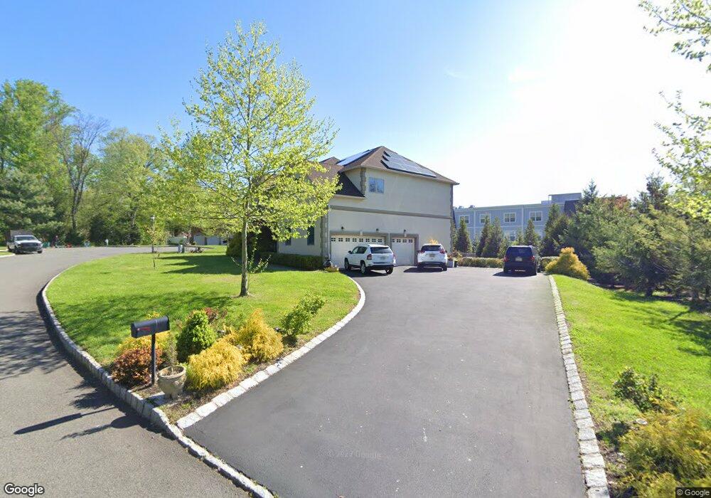
6 Robbie Ln Mountainside, NJ 07092
Estimated Value: $1,310,373 - $1,882,000
Studio
--
Bath
3,517
Sq Ft
$460/Sq Ft
Est. Value
About This Home
This home is located at 6 Robbie Ln, Mountainside, NJ 07092 and is currently estimated at $1,619,343, approximately $460 per square foot. 6 Robbie Ln is a home located in Union County with nearby schools including Beechwood School, Deerfield Elementary School, and St James The Apostle School.
Ownership History
Date
Name
Owned For
Owner Type
Purchase Details
Closed on
Dec 29, 2010
Sold by
Rjg Development Llc
Bought by
Patel Harshad
Current Estimated Value
Home Financials for this Owner
Home Financials are based on the most recent Mortgage that was taken out on this home.
Original Mortgage
$750,000
Interest Rate
4.85%
Mortgage Type
New Conventional
Create a Home Valuation Report for This Property
The Home Valuation Report is an in-depth analysis detailing your home's value as well as a comparison with similar homes in the area
Home Values in the Area
Average Home Value in this Area
Purchase History
| Date | Buyer | Sale Price | Title Company |
|---|---|---|---|
| Patel Harshad | $1,100,000 | Golden Title Agency |
Source: Public Records
Mortgage History
| Date | Status | Borrower | Loan Amount |
|---|---|---|---|
| Previous Owner | Patel Harshad | $750,000 |
Source: Public Records
Tax History
| Year | Tax Paid | Tax Assessment Tax Assessment Total Assessment is a certain percentage of the fair market value that is determined by local assessors to be the total taxable value of land and additions on the property. | Land | Improvement |
|---|---|---|---|---|
| 2025 | $19,998 | $975,500 | $265,800 | $709,700 |
| 2024 | $19,393 | $975,500 | $265,800 | $709,700 |
| 2023 | $19,393 | $975,500 | $265,800 | $709,700 |
| 2022 | $19,481 | $975,500 | $265,800 | $709,700 |
| 2021 | $19,159 | $975,500 | $265,800 | $709,700 |
| 2020 | $21,361 | $285,800 | $73,300 | $212,500 |
| 2019 | $21,472 | $285,800 | $73,300 | $212,500 |
| 2018 | $21,515 | $285,800 | $73,300 | $212,500 |
| 2017 | $21,358 | $285,800 | $73,300 | $212,500 |
| 2016 | $20,872 | $285,800 | $73,300 | $212,500 |
Source: Public Records
Map
Nearby Homes
- 1906 Park Place
- 29 Manitou Cir
- 58a Sandra Cir Unit A2
- 1351 E Broad St
- 19 Carol Rd
- 52b Sandra Cir Unit 2B
- 46 B Sandra Cir Unit 4
- 37 A3 Sandra Cir
- 167 Newbrook Ln
- 21 Sandra Cir
- 427 Summit Rd
- 423 Summit Rd
- 23 Diven St
- 373 Upland Rd
- 1060 Sunny Slope Dr
- 1098 Sunny Slope Dr
- 366 Rolling Rock Rd
- 32 Ruby St
- 808 Grant Ave
- 820 E Broad St
- 4 Robbie Ln
- 8 Robbie Ln
- 7 Robbie Ln
- 5 Robbie Ln
- 1132 Springfield Ave
- 5 Robbie Ln Unit 3189646
- 1156 Springfield Ave Unit A4
- 1042 Springfield Ave
- 1164 Springfield Ave
- 3 Robbie Ln
- 1148 Springfield Ave
- 1108 Springfield Ave Unit B9
- 1160 Springfield Ave Unit A2
- 1140 Springfield Ave
- 2 Robbie Ln
- 1168 Springfield Ave
- 215 Glen Rd
- 211 Glen Rd
- 1 Robbie Ln
- 1050 Springfield Ave
Your Personal Tour Guide
Ask me questions while you tour the home.