6 Rockledge Rd Tunkhannock, PA 18657
Estimated Value: $96,000 - $215,000
--
Bed
--
Bath
--
Sq Ft
2.79
Acres
About This Home
This home is located at 6 Rockledge Rd, Tunkhannock, PA 18657 and is currently estimated at $153,950. 6 Rockledge Rd is a home located in Wyoming County with nearby schools including Tunkhannock Middle School and Tunkhannock High School.
Ownership History
Date
Name
Owned For
Owner Type
Purchase Details
Closed on
Jun 7, 2022
Sold by
Shupp Carlton F and Estate Of Dorothy M Shupp
Bought by
Musser Mark Timothy
Current Estimated Value
Home Financials for this Owner
Home Financials are based on the most recent Mortgage that was taken out on this home.
Original Mortgage
$97,800
Outstanding Balance
$93,081
Interest Rate
5.3%
Estimated Equity
$60,869
Purchase Details
Closed on
Jan 10, 2013
Sold by
Sickler Robert C and Sickler Dawn E
Bought by
Shupp Carlton C and Shupp Dorothy
Create a Home Valuation Report for This Property
The Home Valuation Report is an in-depth analysis detailing your home's value as well as a comparison with similar homes in the area
Home Values in the Area
Average Home Value in this Area
Purchase History
| Date | Buyer | Sale Price | Title Company |
|---|---|---|---|
| Musser Mark Timothy | $128,000 | -- | |
| Shupp Carlton C | $4,700 | None Available |
Source: Public Records
Mortgage History
| Date | Status | Borrower | Loan Amount |
|---|---|---|---|
| Open | Musser Mark Timothy | $97,800 |
Source: Public Records
Tax History Compared to Growth
Tax History
| Year | Tax Paid | Tax Assessment Tax Assessment Total Assessment is a certain percentage of the fair market value that is determined by local assessors to be the total taxable value of land and additions on the property. | Land | Improvement |
|---|---|---|---|---|
| 2025 | $2,139 | $18,505 | $3,360 | $15,145 |
| 2024 | $2,139 | $18,505 | $3,360 | $15,145 |
| 2023 | $2,120 | $18,505 | $3,360 | $15,145 |
| 2022 | $2,056 | $18,180 | $3,360 | $14,820 |
| 2021 | $2,010 | $18,180 | $3,360 | $14,820 |
| 2020 | $2,010 | $18,180 | $3,360 | $14,820 |
| 2019 | $1,960 | $18,180 | $3,360 | $14,820 |
| 2018 | $1,915 | $18,180 | $3,360 | $14,820 |
| 2017 | $1,888 | $0 | $0 | $0 |
| 2016 | -- | $0 | $0 | $0 |
| 2015 | -- | $0 | $0 | $0 |
| 2014 | -- | $0 | $0 | $0 |
Source: Public Records
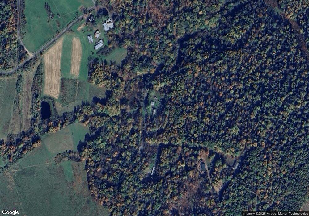
Map
Nearby Homes
- 1338 Whites Ferry Rd
- 202 Feral Ln
- 607 Evergreen Dr
- 587 Evergreen Dr
- 629 Evergreen Dr
- 645 Evergreen Dr
- 42 Long Ln
- 409 Lane Hill Rd
- 0 Ezra Ln Unit GSBSC253592
- 11 Old Trail Rd
- 0 Wellwood Dr Unit GSBSC254387
- 0 Wellwood Dr Unit PWBPW252807
- 0 Jenks Rd
- 1212 Keelersburg Rd
- 250 Roosevelt Hwy
- Jenks Rd Lot Unit WP001
- 819 Hunter Hwy
- 22 Creamery Rd
- 133 Upcreek Ln
- 2619 Sullivan Trail
- 158 Ledgemont Ln
- 118 Thurston Hollow Rd
- 116 Thurston Hollow Rd
- 40 Rockledge Rd
- 175 S Barzilowski Rd
- 221 Thurston Hollow Rd
- 51 Rockledge Rd
- 250 Thurston Hollow Rd
- 50 Rockledge Rd
- 16 Rockledge Rd
- 62 Rockledge Rd
- 312 Thurston Hollow Rd
- 27 Thurston Hollow Rd
- 72 Rockledge Rd
- 79 Rockledge Rd
- 172 Barzilowski Rd
- 325 Thurston Hollow Rd
- 165 Margaret Hollow Rd
- 34 Scranta Ln
- 34 Scranta Ln