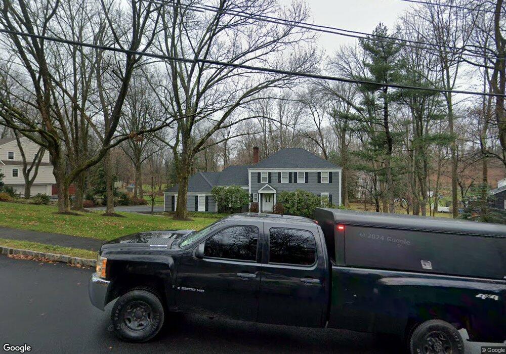
6 Rolling Hill Dr Morristown, NJ 07960
Estimated Value: $978,000 - $1,096,000
3
Beds
4
Baths
2,380
Sq Ft
$439/Sq Ft
Est. Value
About This Home
This home is located at 6 Rolling Hill Dr, Morristown, NJ 07960 and is currently estimated at $1,044,148, approximately $438 per square foot. 6 Rolling Hill Dr is a home located in Morris County with nearby schools including Hillcrest School, Thomas Jefferson School, and Alexander Hamilton School.
Ownership History
Date
Name
Owned For
Owner Type
Purchase Details
Closed on
May 16, 2004
Sold by
Graeff Judith
Bought by
Beilin Richard and Beilin Lorraine
Current Estimated Value
Home Financials for this Owner
Home Financials are based on the most recent Mortgage that was taken out on this home.
Original Mortgage
$430,000
Interest Rate
6.32%
Purchase Details
Closed on
Dec 1, 1995
Sold by
Matt Paul G and Matt Florence M
Bought by
Proops Douglas C and Graeff Judith A
Create a Home Valuation Report for This Property
The Home Valuation Report is an in-depth analysis detailing your home's value as well as a comparison with similar homes in the area
Home Values in the Area
Average Home Value in this Area
Purchase History
| Date | Buyer | Sale Price | Title Company |
|---|---|---|---|
| Beilin Richard | $597,500 | -- | |
| Proops Douglas C | $339,500 | -- |
Source: Public Records
Mortgage History
| Date | Status | Borrower | Loan Amount |
|---|---|---|---|
| Previous Owner | Beilin Richard | $430,000 |
Source: Public Records
Tax History Compared to Growth
Tax History
| Year | Tax Paid | Tax Assessment Tax Assessment Total Assessment is a certain percentage of the fair market value that is determined by local assessors to be the total taxable value of land and additions on the property. | Land | Improvement |
|---|---|---|---|---|
| 2025 | $11,850 | $591,900 | $282,000 | $309,900 |
| 2024 | $11,868 | $591,900 | $282,000 | $309,900 |
| 2023 | $11,868 | $591,900 | $282,000 | $309,900 |
| 2022 | $11,317 | $591,900 | $282,000 | $309,900 |
| 2021 | $11,317 | $591,900 | $282,000 | $309,900 |
| 2020 | $11,021 | $591,900 | $282,000 | $309,900 |
| 2019 | $10,850 | $591,900 | $282,000 | $309,900 |
| 2018 | $10,731 | $591,900 | $282,000 | $309,900 |
| 2017 | $10,660 | $591,900 | $282,000 | $309,900 |
| 2016 | $10,494 | $591,900 | $282,000 | $309,900 |
| 2015 | $10,517 | $414,700 | $197,100 | $217,600 |
| 2014 | $10,380 | $414,700 | $197,100 | $217,600 |
Source: Public Records
Map
Nearby Homes
- 97 Skyline Dr
- 22 Mountainside Dr
- 237 Mount Kemble Ave
- 282 Mount Kemble Ave
- 4 Old Harter Rd
- 2 Skyline Dr
- 9 Dorothy Dr
- 6 Brookfield Way
- 1 Twin Oaks Ln
- 143 Hillcrest Ave
- 24 Spring Brook Rd
- 26 Brookfield Way
- 9 Valley View Rd
- 2 Blackwell Ave
- 10 Westminster Place
- 16 Dellwood Ave
- 89 Western Ave
- 60 Chestnut St Unit 2
- 80 Western Ave
- 9 Wren Ct
- 4 Rolling Hill Dr
- 8 Rolling Hill Dr
- 326 Western Ave
- 2 Rolling Hill Dr
- 340 Western Ave
- 5 Rolling Hill Dr
- 9 Rolling Hill Dr
- 7 Rolling Hill Dr
- 10 Rolling Hill Dr
- 11 Rolling Hill Dr
- 1 Rolling Hill Dr
- 354 Western Ave
- 4 Harvey Ct
- 12 Rolling Hill Dr
- 15 Rolling Hill Dr
- 3 Harvey Ct
- 290 Western Ave
- 111 Skyline Dr
- 109 Skyline Dr
- 6 Harvey Ct