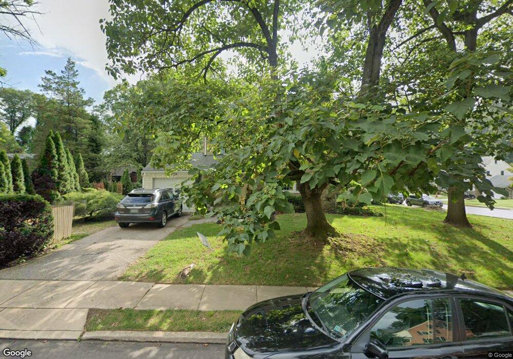
6 Rolling Rd Wynnewood, PA 19096
Penn Wynne NeighborhoodEstimated Value: $544,000 - $655,929
3
Beds
2
Baths
1,798
Sq Ft
$336/Sq Ft
Est. Value
About This Home
This home is located at 6 Rolling Rd, Wynnewood, PA 19096 and is currently estimated at $604,232, approximately $336 per square foot. 6 Rolling Rd is a home located in Montgomery County with nearby schools including Penn Wynne Elementary School, Bala-Cynwyd Middle School, and Lower Merion High School.
Ownership History
Date
Name
Owned For
Owner Type
Purchase Details
Closed on
May 23, 2006
Sold by
Rome Lauren and Alverez Daniel
Bought by
Rome Lauren
Current Estimated Value
Home Financials for this Owner
Home Financials are based on the most recent Mortgage that was taken out on this home.
Original Mortgage
$288,000
Outstanding Balance
$168,224
Interest Rate
6.55%
Estimated Equity
$436,008
Purchase Details
Closed on
Jun 28, 1999
Sold by
Rosenstein Ilene C and Meier Bradley R
Bought by
Alverez Daniel and Rome Lauren
Create a Home Valuation Report for This Property
The Home Valuation Report is an in-depth analysis detailing your home's value as well as a comparison with similar homes in the area
Home Values in the Area
Average Home Value in this Area
Purchase History
| Date | Buyer | Sale Price | Title Company |
|---|---|---|---|
| Rome Lauren | -- | None Available | |
| Rome Lauren | -- | None Available | |
| Alverez Daniel | $200,000 | -- |
Source: Public Records
Mortgage History
| Date | Status | Borrower | Loan Amount |
|---|---|---|---|
| Open | Rome Lauren | $288,000 |
Source: Public Records
Tax History Compared to Growth
Tax History
| Year | Tax Paid | Tax Assessment Tax Assessment Total Assessment is a certain percentage of the fair market value that is determined by local assessors to be the total taxable value of land and additions on the property. | Land | Improvement |
|---|---|---|---|---|
| 2025 | $7,030 | $174,320 | -- | -- |
| 2024 | $7,030 | $168,320 | -- | -- |
| 2023 | $6,736 | $168,320 | $0 | $0 |
| 2022 | $6,612 | $168,320 | $0 | $0 |
| 2021 | $6,461 | $168,320 | $0 | $0 |
| 2020 | $6,303 | $168,320 | $0 | $0 |
| 2019 | $6,192 | $168,320 | $0 | $0 |
| 2018 | $6,192 | $168,320 | $0 | $0 |
| 2017 | $5,964 | $168,320 | $0 | $0 |
| 2016 | $5,898 | $168,320 | $0 | $0 |
| 2015 | $5,500 | $168,320 | $0 | $0 |
| 2014 | $5,500 | $168,320 | $0 | $0 |
Source: Public Records
Map
Nearby Homes
- 978 Township Line Rd
- 7661 Overbrook Ave
- 111 Harrogate Rd
- 1406 Greywall Ln
- 7641 Brentwood Rd
- 222 Harrogate Rd
- 7520 Overbrook Ave
- 7530 Greenhill Rd
- 1635 Pennington Rd
- 1460 Drayton Ln
- 7519 Brookhaven Rd
- 7517 Brookhaven Rd
- 243 Rock Glen Rd
- 7603 Woodcrest Ave
- 1354 Drayton Ln
- 6324 City Ave
- 7649 Malvern Ave
- 1218 Weymouth Rd
- 7322 Drexel Rd
- 1843-45 N 72nd St
- 1017 Severn Ln
- 5 Rolling Rd
- 7 Rolling Rd
- 1016 City Ave
- 1016 Township Line Rd
- 1013 Severn Ln
- 1024 Severn Ln
- 9 Rolling Rd
- 1 Rolling Rd
- 101 Old Forest Rd
- 1012 Township Line Rd
- 1012 City Ave
- 11 Rolling Rd
- 1009 Severn Ln
- 6 Overbrook Pkwy
- 4 Overbrook Pkwy
- 8 Overbrook Pkwy
- 105 Old Forest Rd
- 2 Overbrook Pkwy
- 14 Rolling Rd