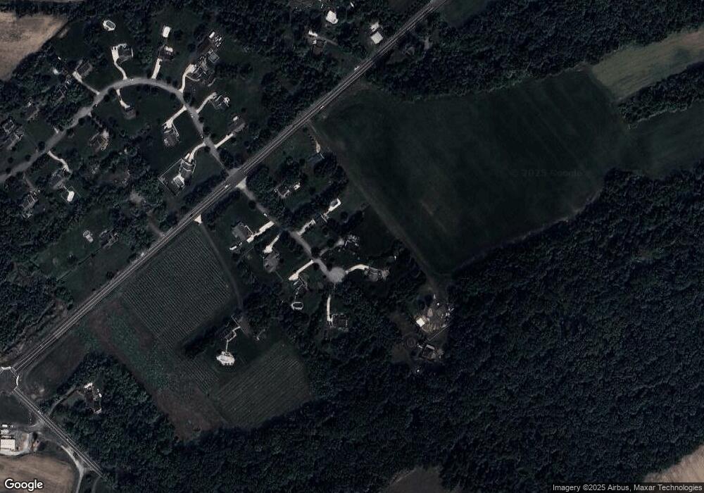
6 S Branch Ct Mullica Hill, NJ 08062
Estimated Value: $610,041 - $735,000
--
Bed
--
Bath
2,552
Sq Ft
$262/Sq Ft
Est. Value
About This Home
This home is located at 6 S Branch Ct, Mullica Hill, NJ 08062 and is currently estimated at $667,760, approximately $261 per square foot. 6 S Branch Ct is a home located in Gloucester County with nearby schools including South Harrison Township Elementary School, Kingsway Regional Middle School, and Kingsway Reg High School.
Ownership History
Date
Name
Owned For
Owner Type
Purchase Details
Closed on
May 26, 1999
Sold by
Headley Homes Inc
Bought by
Antinori Ronald Jude and Antinori Mary Ann
Current Estimated Value
Home Financials for this Owner
Home Financials are based on the most recent Mortgage that was taken out on this home.
Original Mortgage
$224,200
Outstanding Balance
$58,155
Interest Rate
6.85%
Estimated Equity
$609,605
Create a Home Valuation Report for This Property
The Home Valuation Report is an in-depth analysis detailing your home's value as well as a comparison with similar homes in the area
Home Values in the Area
Average Home Value in this Area
Purchase History
| Date | Buyer | Sale Price | Title Company |
|---|---|---|---|
| Antinori Ronald Jude | $236,000 | -- |
Source: Public Records
Mortgage History
| Date | Status | Borrower | Loan Amount |
|---|---|---|---|
| Open | Antinori Ronald Jude | $224,200 |
Source: Public Records
Tax History Compared to Growth
Tax History
| Year | Tax Paid | Tax Assessment Tax Assessment Total Assessment is a certain percentage of the fair market value that is determined by local assessors to be the total taxable value of land and additions on the property. | Land | Improvement |
|---|---|---|---|---|
| 2025 | $10,589 | $344,800 | $101,500 | $243,300 |
| 2024 | $10,420 | $344,800 | $101,500 | $243,300 |
| 2023 | $10,420 | $344,800 | $101,500 | $243,300 |
| 2022 | $10,165 | $344,800 | $101,500 | $243,300 |
| 2021 | $10,089 | $344,800 | $101,500 | $243,300 |
| 2020 | $10,044 | $344,800 | $101,500 | $243,300 |
| 2019 | $10,182 | $344,800 | $101,500 | $243,300 |
| 2018 | $10,027 | $344,800 | $101,500 | $243,300 |
| 2017 | $9,879 | $344,800 | $101,500 | $243,300 |
| 2016 | $9,779 | $344,800 | $101,500 | $243,300 |
| 2015 | $9,716 | $344,800 | $101,500 | $243,300 |
| 2014 | $9,299 | $344,800 | $101,500 | $243,300 |
Source: Public Records
Map
Nearby Homes
- 128 Preakness Dr
- 24 Fox Haven Ln
- 220 Hickory Ln
- 713 Franklinville Rd
- 308 Snowgoose Ln
- 321 Snowgoose Ln
- 465 Tomlin Station Rd
- 490 Franklinville Rd
- 197 Cedar Grove Rd
- 663 Tomlin Station Rd
- 138 High St
- 0 Richwood Rd Unit NJGL2046570
- 0 Richwood Rd Unit NJGL2037568
- 104 Danton Ln
- 7 Eric Rd
- 31 Maple Ave
- 730 Chickory Trail
- 403 Woodruff Trail
- 22 Orchard Dr
- 124 Harbelle Way
- 4 S Branch Ct
- 8 S Branch Ct
- 5 S Branch Ct
- 7 S Branch Ct
- 3 S Branch Ct
- 1828 New Jersey 45
- 1832 State Highway 45
- 1828 State Highway 45
- 1834 New Jersey 45
- 1834 State Highway 45
- 1 S Branch Ct
- 9 S Branch Ct
- 1818 State Highway 45
- 2 Raccoon Creek Rd
- 3 Raccoon Creek Rd
- 4 Raccoon Creek Rd
- 194 Woodstown Rd
- 183 Woodstown Rd
- 190 Woodstown Rd
- 1817 State Highway 45
