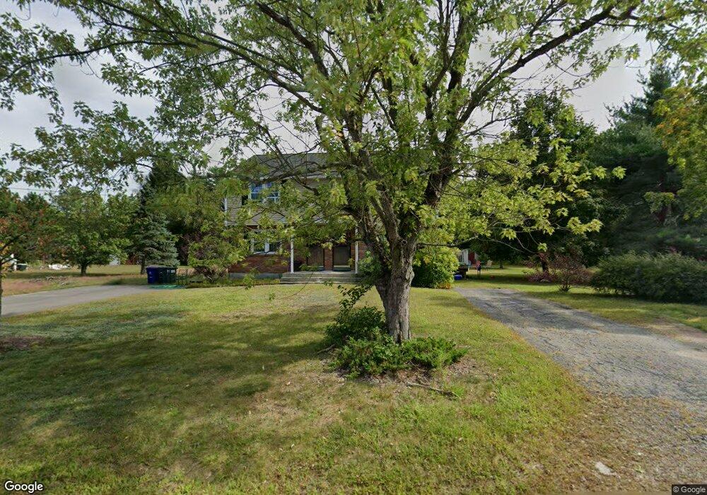
6 Scotia Dr Unit A Pepperell, MA 01463
Estimated Value: $344,490 - $456,000
2
Beds
1
Bath
1,372
Sq Ft
$279/Sq Ft
Est. Value
About This Home
This home is located at 6 Scotia Dr Unit A, Pepperell, MA 01463 and is currently estimated at $382,623, approximately $278 per square foot. 6 Scotia Dr Unit A is a home located in Middlesex County with nearby schools including North Middlesex Regional High School, Pepperell Christian Academy, and Maple Dene & Moppet School.
Ownership History
Date
Name
Owned For
Owner Type
Purchase Details
Closed on
May 28, 2004
Sold by
Galvin Michelle L and Lawson Michelle L
Bought by
Parker Jessica
Current Estimated Value
Home Financials for this Owner
Home Financials are based on the most recent Mortgage that was taken out on this home.
Original Mortgage
$155,000
Outstanding Balance
$75,159
Interest Rate
5.88%
Mortgage Type
Purchase Money Mortgage
Estimated Equity
$307,464
Purchase Details
Closed on
Aug 19, 1997
Sold by
Mulqueeney Cynthia A
Bought by
Gervais Robert A and Gervais Pauline A
Create a Home Valuation Report for This Property
The Home Valuation Report is an in-depth analysis detailing your home's value as well as a comparison with similar homes in the area
Home Values in the Area
Average Home Value in this Area
Purchase History
| Date | Buyer | Sale Price | Title Company |
|---|---|---|---|
| Parker Jessica | $200,000 | -- | |
| Gervais Robert A | $78,000 | -- |
Source: Public Records
Mortgage History
| Date | Status | Borrower | Loan Amount |
|---|---|---|---|
| Open | Parker Jessica | $155,000 |
Source: Public Records
Tax History Compared to Growth
Tax History
| Year | Tax Paid | Tax Assessment Tax Assessment Total Assessment is a certain percentage of the fair market value that is determined by local assessors to be the total taxable value of land and additions on the property. | Land | Improvement |
|---|---|---|---|---|
| 2025 | $4,333 | $296,200 | $0 | $296,200 |
| 2024 | $3,946 | $275,000 | $0 | $275,000 |
| 2023 | $3,989 | $263,500 | $0 | $263,500 |
| 2022 | $3,245 | $189,200 | $0 | $189,200 |
| 2021 | $3,303 | $184,300 | $0 | $184,300 |
| 2020 | $2,661 | $156,700 | $0 | $156,700 |
| 2019 | $2,498 | $150,600 | $0 | $150,600 |
| 2018 | $2,468 | $150,600 | $0 | $150,600 |
| 2017 | $2,422 | $152,400 | $0 | $152,400 |
| 2016 | $2,076 | $125,600 | $0 | $125,600 |
| 2015 | $1,922 | $120,500 | $0 | $120,500 |
| 2014 | $2,225 | $140,300 | $0 | $140,300 |
Source: Public Records
Map
Nearby Homes
- 208 North St
- 38 Tarbell St Unit 5B
- 9 Tarbell St
- 5 June St
- 28-30 Groton St
- 31 Prospect St
- 8 Jamie Rd
- 4 Parker Hill Way Unit C
- 24 Unkety Brook Way
- 10 Tucker St
- 35 Hollis St Unit 1
- 38 River Rd Unit 11
- 139 Nashua Rd
- 147 Nashua Rd
- 20 B Legacy Ln
- 20 A Legacy Ln Unit 20A
- 7 Maureens Way
- 91 Chicopee Row
- 24-A 34-A Dow St
- 55 Park St
- 6 Scotia Dr Unit B
- 6 Scotia Dr Unit B
- 6 Scotia Dr Unit 6,A
- 6 Scotia Dr Unit 6A
- 6 B Scotia Dr Unit 6b
- 4B Scotia Dr
- 4 Scotia Dr Unit B
- 4 Scotia Dr Unit A
- 4 Scotia Dr
- 4B Scotia Dr Unit B 4
- 4B Scotia Dr Unit 4B
- 4 Scotia Dr Unit 4A
- 4B Scotia Dr Unit 2
- 2 Scotia Dr Unit B
- 2 Scotia Dr Unit A
- 2 B Scotia Dr Unit 2B
- 20 Jersey St
- 18 Jersey St
- 22 Jersey St
- 3 Scotia Dr Unit B