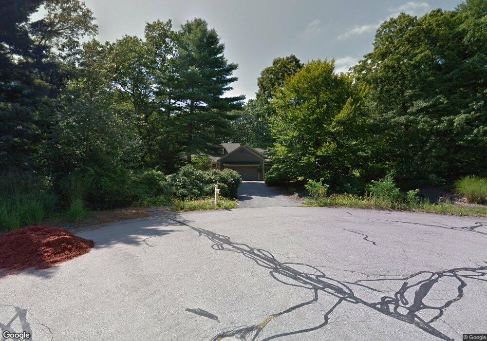
6 Shady Way Norfolk, MA 02056
Estimated Value: $847,933 - $959,000
2
Beds
4
Baths
2,575
Sq Ft
$357/Sq Ft
Est. Value
About This Home
This home is located at 6 Shady Way, Norfolk, MA 02056 and is currently estimated at $918,483, approximately $356 per square foot. 6 Shady Way is a home located in Norfolk County with nearby schools including H. Olive Day School, Freeman-Kennedy School, and Woodside Montessori Academy.
Ownership History
Date
Name
Owned For
Owner Type
Purchase Details
Closed on
Mar 23, 2022
Sold by
Greggs Ralph M and Staubin Patricia S
Bought by
Greggs Saint Aubin Ft
Current Estimated Value
Purchase Details
Closed on
Jul 31, 1996
Sold by
Woodworth Frederic A and Woodworth Anita
Bought by
Greggs Ralph
Create a Home Valuation Report for This Property
The Home Valuation Report is an in-depth analysis detailing your home's value as well as a comparison with similar homes in the area
Home Values in the Area
Average Home Value in this Area
Purchase History
| Date | Buyer | Sale Price | Title Company |
|---|---|---|---|
| Greggs Saint Aubin Ft | -- | None Available | |
| Greggs Ralph | $226,000 | -- | |
| Greggs Ralph | $226,000 | -- |
Source: Public Records
Mortgage History
| Date | Status | Borrower | Loan Amount |
|---|---|---|---|
| Previous Owner | Greggs Ralph | $390,000 | |
| Previous Owner | Greggs Ralph | $410,000 | |
| Previous Owner | Greggs Ralph | $197,000 |
Source: Public Records
Tax History
| Year | Tax Paid | Tax Assessment Tax Assessment Total Assessment is a certain percentage of the fair market value that is determined by local assessors to be the total taxable value of land and additions on the property. | Land | Improvement |
|---|---|---|---|---|
| 2025 | $12,669 | $793,300 | $242,300 | $551,000 |
| 2024 | $12,104 | $777,400 | $242,300 | $535,100 |
| 2023 | $10,662 | $649,700 | $242,300 | $407,400 |
| 2022 | $11,040 | $606,600 | $226,800 | $379,800 |
| 2021 | $11,071 | $615,400 | $220,200 | $395,200 |
| 2020 | $9,974 | $535,100 | $200,400 | $334,700 |
| 2019 | $9,240 | $505,200 | $200,400 | $304,800 |
| 2018 | $8,461 | $454,400 | $200,400 | $254,000 |
| 2017 | $8,341 | $457,800 | $200,400 | $257,400 |
| 2016 | $8,355 | $462,100 | $208,100 | $254,000 |
| 2015 | $7,988 | $452,300 | $195,500 | $256,800 |
| 2014 | $7,586 | $435,200 | $195,500 | $239,700 |
Source: Public Records
Map
Nearby Homes
- 45 Joshua Rd
- 246 Forest Grove Ave
- 8 Ridgefield Rd
- 23 Fredrickson Rd
- 0 W Birch Rd
- 50 Reed Fulton Ave Unit Lot 61
- 19 Waites Crossing
- 13 Waites Crossing
- 7 Keeney Pond Rd
- 0 Toils End Rd
- 14 Waites Crossing
- 9 Elliot Mills Unit 5
- 8 Elliot Mills Unit 30
- 5 Elliot Mills Unit 3
- 7 Elliot Mills Unit 4
- 10 Elliot Mills Unit 29
- 16 Keeney Pond Rd
- 292 Main St
- 11 Weber Farm Rd Unit 11
- 8 Weber Farm Rd Unit 8
Your Personal Tour Guide
Ask me questions while you tour the home.