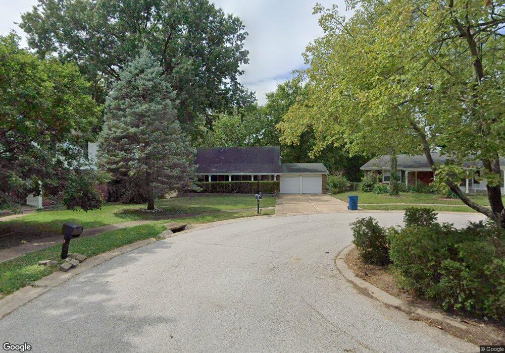
6 Shalfleet Ct Florissant, MO 63033
Estimated Value: $219,000 - $253,000
5
Beds
3
Baths
1,835
Sq Ft
$127/Sq Ft
Est. Value
About This Home
This home is located at 6 Shalfleet Ct, Florissant, MO 63033 and is currently estimated at $232,654, approximately $126 per square foot. 6 Shalfleet Ct is a home located in St. Louis County with nearby schools including Jamestown Elementary School, Central Middle School, and Hazelwood Central High School.
Ownership History
Date
Name
Owned For
Owner Type
Purchase Details
Closed on
Oct 29, 1999
Sold by
Covington Jimmie M and Covington Malcolm A
Bought by
Lane Malcolm A and Covington Lane Jimmie M
Current Estimated Value
Home Financials for this Owner
Home Financials are based on the most recent Mortgage that was taken out on this home.
Original Mortgage
$104,000
Interest Rate
7.77%
Create a Home Valuation Report for This Property
The Home Valuation Report is an in-depth analysis detailing your home's value as well as a comparison with similar homes in the area
Home Values in the Area
Average Home Value in this Area
Purchase History
| Date | Buyer | Sale Price | Title Company |
|---|---|---|---|
| Lane Malcolm A | -- | Independent Title Llc |
Source: Public Records
Mortgage History
| Date | Status | Borrower | Loan Amount |
|---|---|---|---|
| Closed | Lane Malcolm A | $104,000 |
Source: Public Records
Tax History Compared to Growth
Tax History
| Year | Tax Paid | Tax Assessment Tax Assessment Total Assessment is a certain percentage of the fair market value that is determined by local assessors to be the total taxable value of land and additions on the property. | Land | Improvement |
|---|---|---|---|---|
| 2025 | $3,053 | $43,600 | $5,430 | $38,170 |
| 2024 | $3,053 | $33,860 | $3,630 | $30,230 |
| 2023 | $3,046 | $33,860 | $3,630 | $30,230 |
| 2022 | $2,627 | $24,870 | $4,710 | $20,160 |
| 2021 | $2,513 | $24,870 | $4,710 | $20,160 |
| 2020 | $2,362 | $22,060 | $4,160 | $17,900 |
| 2019 | $2,329 | $22,060 | $4,160 | $17,900 |
| 2018 | $2,222 | $19,440 | $2,890 | $16,550 |
| 2017 | $2,220 | $19,440 | $2,890 | $16,550 |
| 2016 | $2,281 | $19,610 | $3,250 | $16,360 |
| 2015 | $2,229 | $19,610 | $3,250 | $16,360 |
| 2014 | $2,196 | $19,200 | $3,520 | $15,680 |
Source: Public Records
Map
Nearby Homes
- 11951 Jerries Ln
- 5148 Longhorn Trail
- 5348 Trailoaks Dr
- 5239 Trailoaks Dr
- 4950 Patricia Ridge Dr
- 5432 Trailbend Dr
- 12292 Jerries Ln
- 12701 Old Halls Ferry Rd
- 11869 Galba Dr
- 5226 Suntrail Dr
- 4497 Rhine Dr
- 12095 El Camara Dr
- 11636 MacRinus Dr
- 11767 MacRinus Dr
- 12991 Mourville Ct
- 12062 Cato Dr
- 4493 Caracalla Dr
- 11774 El Somo Ct
- 30 Rolling Hills Dr
- 2355 Redman Rd
- 7 Shalfleet Ct
- 12044 Wensley Rd
- 5 Shalfleet Ct
- 5327 Abington Rd
- 5337 Abington Rd
- 8 Shalfleet Ct
- 12024 Wensley Rd
- 5347 Abington Rd
- 4 Shalfleet Ct
- 5338 Bayhamabby Rd
- 5328 Bayhamabby Rd
- 9 Shalfleet Ct
- 5348 Bayhamabby Rd
- 5357 Abington Rd
- 5318 Bayhamabby Rd
- 3 Shalfleet Ct
- 5358 Bayhamabby Rd
- 5308 Bayhamabby Rd
- 12025 Wensley Rd
- 10 Shalfleet Ct