6 Ships Point Rd Boothbay Harbor, ME 04538
Estimated Value: $795,000 - $2,686,000
3
Beds
3
Baths
2,016
Sq Ft
$932/Sq Ft
Est. Value
About This Home
This home is located at 6 Ships Point Rd, Boothbay Harbor, ME 04538 and is currently estimated at $1,878,967, approximately $932 per square foot. 6 Ships Point Rd is a home with nearby schools including Boothbay Region Elementary School and Boothbay Region High School.
Ownership History
Date
Name
Owned For
Owner Type
Purchase Details
Closed on
May 5, 2016
Sold by
Twombly Dana E and Twombly Elizabeth B
Bought by
Ships Point Llc
Current Estimated Value
Purchase Details
Closed on
Aug 10, 2015
Sold by
Twombly Elizabeth B
Bought by
Twombly Dana E and Twombly Elizabeth B
Home Financials for this Owner
Home Financials are based on the most recent Mortgage that was taken out on this home.
Original Mortgage
$50,000
Interest Rate
4.03%
Mortgage Type
Unknown
Create a Home Valuation Report for This Property
The Home Valuation Report is an in-depth analysis detailing your home's value as well as a comparison with similar homes in the area
Home Values in the Area
Average Home Value in this Area
Purchase History
| Date | Buyer | Sale Price | Title Company |
|---|---|---|---|
| Ships Point Llc | -- | -- | |
| Twombly Dana E | -- | -- |
Source: Public Records
Mortgage History
| Date | Status | Borrower | Loan Amount |
|---|---|---|---|
| Previous Owner | Twombly Dana E | $50,000 |
Source: Public Records
Tax History Compared to Growth
Tax History
| Year | Tax Paid | Tax Assessment Tax Assessment Total Assessment is a certain percentage of the fair market value that is determined by local assessors to be the total taxable value of land and additions on the property. | Land | Improvement |
|---|---|---|---|---|
| 2024 | $15,204 | $1,608,900 | $1,190,000 | $418,900 |
| 2023 | $14,400 | $1,608,900 | $1,190,000 | $418,900 |
| 2022 | $13,434 | $1,608,900 | $1,190,000 | $418,900 |
| 2019 | $12,418 | $1,039,200 | $849,000 | $190,200 |
| 2018 | $12,055 | $1,039,200 | $849,000 | $190,200 |
| 2017 | $0 | $0 | $0 | $0 |
| 2016 | $11,610 | $1,036,600 | $849,000 | $187,600 |
| 2014 | -- | $0 | $0 | $0 |
Source: Public Records
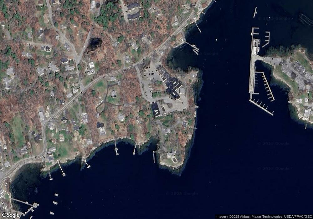
Map
Nearby Homes
- 26 Sea St
- 12 Sea St
- 53 Commercial St
- 27 Townsend Ave
- 34 Townsend Ave
- 37 Townsend Ave
- 66 Townsend Avenue & 43 Oak St
- 43 Oak St
- 66 Townsend Ave
- 1 Cedar Ln Unit 1
- 58 Roads End Rd
- 3 Cedar Ln Unit 3
- 17 Cedar Ln Unit 17
- 31 Bay St
- 74 & 76 Bay St
- 302 Townsend Ave
- 127 Appalachee Rd
- 14 Pinkie Ln
- 978 Wiscasset Rd
- 44-4 Windrush Ln
- 9 Seaview Place
- 11 Saint Andrews Ln
- 18 Saint Andrews Ln
- 15 Saint Andrews Ln
- 9 Ships Point Rd
- 3 Ships Point Rd
- 10 Seaview Place
- 8 Seaview Place
- 79 Western Ave
- 75 Western Ave
- 69 Western Ave
- 62 Western Ave
- 6 Pennoyer Dr
- 93 Western Ave
- 7 Pennoyer Dr
- 9 Secret Cove Ln
- 2 Lakeview Rd
- 101 Western Ave
- 0 Lakeview Rd Unit 512211
- 0 Lakeview Rd Unit 511327