Estimated Value: $990,000 - $1,059,000
5
Beds
3
Baths
2,931
Sq Ft
$352/Sq Ft
Est. Value
About This Home
This home is located at 6 Simon Hapgood Ln, Acton, MA 01720 and is currently estimated at $1,032,319, approximately $352 per square foot. 6 Simon Hapgood Ln is a home with nearby schools including Acton-Boxborough Regional High School, Nashoba Brooks School, and Middlesex School.
Ownership History
Date
Name
Owned For
Owner Type
Purchase Details
Closed on
Apr 7, 2017
Sold by
Cowen David
Bought by
Cowen David and Gomez-Cown Wendy
Current Estimated Value
Purchase Details
Closed on
Aug 1, 2005
Sold by
Maguire Judith A and Maguire William C
Bought by
Krinsky Anne and Stecklow Steven B
Home Financials for this Owner
Home Financials are based on the most recent Mortgage that was taken out on this home.
Original Mortgage
$580,000
Interest Rate
5.67%
Mortgage Type
Purchase Money Mortgage
Create a Home Valuation Report for This Property
The Home Valuation Report is an in-depth analysis detailing your home's value as well as a comparison with similar homes in the area
Home Values in the Area
Average Home Value in this Area
Purchase History
| Date | Buyer | Sale Price | Title Company |
|---|---|---|---|
| Cowen David | -- | -- | |
| Cowen David | -- | -- | |
| Krinsky Anne | $725,000 | -- | |
| Krinsky Anne | $725,000 | -- |
Source: Public Records
Mortgage History
| Date | Status | Borrower | Loan Amount |
|---|---|---|---|
| Previous Owner | Krinsky Anne | $460,000 | |
| Previous Owner | Krinsky Anne | $444,000 | |
| Previous Owner | Krinsky Anne | $580,000 |
Source: Public Records
Tax History
| Year | Tax Paid | Tax Assessment Tax Assessment Total Assessment is a certain percentage of the fair market value that is determined by local assessors to be the total taxable value of land and additions on the property. | Land | Improvement |
|---|---|---|---|---|
| 2025 | $14,962 | $872,400 | $425,400 | $447,000 |
| 2024 | $14,390 | $863,200 | $425,400 | $437,800 |
| 2023 | $14,129 | $804,600 | $387,200 | $417,400 |
| 2022 | $13,699 | $704,300 | $336,800 | $367,500 |
| 2021 | $12,876 | $636,500 | $312,000 | $324,500 |
| 2020 | $12,246 | $636,500 | $312,000 | $324,500 |
| 2019 | $11,756 | $606,900 | $312,000 | $294,900 |
| 2018 | $11,285 | $582,300 | $312,000 | $270,300 |
| 2017 | $10,874 | $570,500 | $312,000 | $258,500 |
| 2016 | $10,561 | $549,200 | $312,000 | $237,200 |
| 2015 | $10,281 | $539,700 | $312,000 | $227,700 |
| 2014 | $10,036 | $516,000 | $312,000 | $204,000 |
Source: Public Records
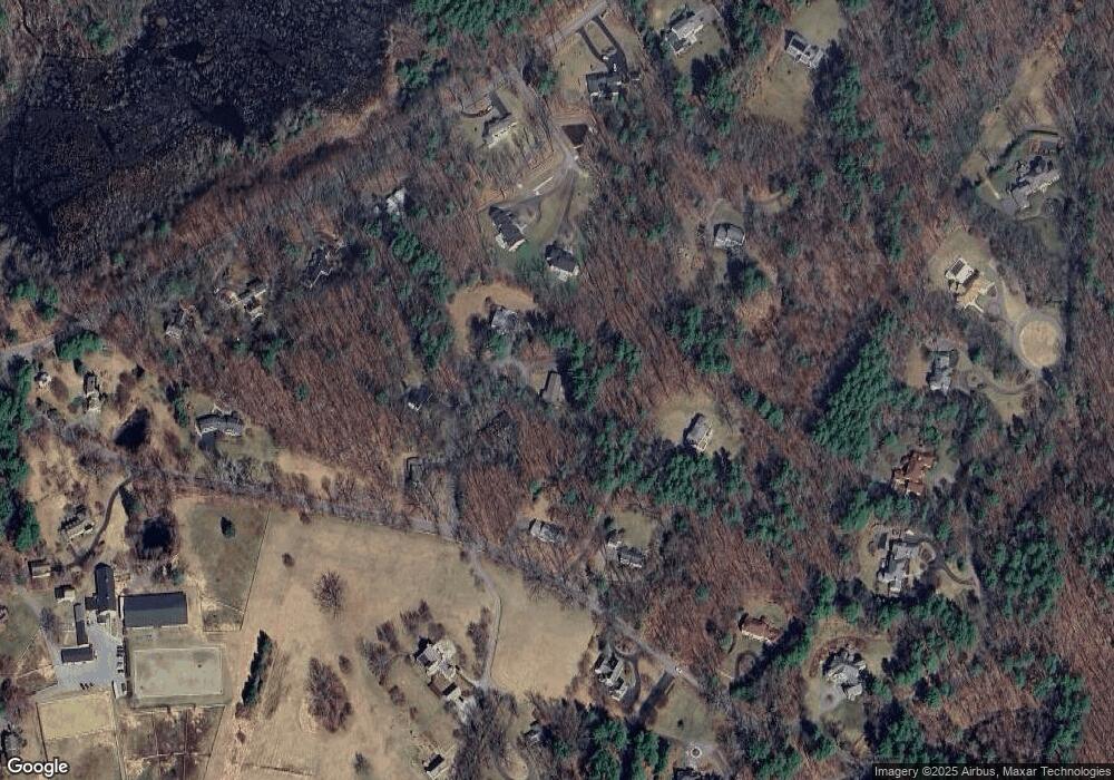
Map
Nearby Homes
- 853 Strawberry Hill Rd
- 104 Channing Rd
- 134 Pope Rd
- 110 Spencer Brook Rd
- 107 Westford Rd
- 11 Davis Rd Unit A5
- 187 Great Rd Unit A1
- 15 Davis Rd Unit B-8
- 1 Bayberry Rd
- 495 Hugh Cargill Rd
- 709 Main St
- 380A Great Rd Unit 301
- 388 Great Rd Unit B14
- 386 Great Rd Unit A8
- 79-81 Assabet Ave
- 390 Great Rd Unit B16
- 524 Main St
- 90 Barretts Mill Rd
- 49 Quarry Rd Unit 49
- 491 Main St
- 1 Simon Hapgood Ln
- 6 Simon Hapgood Ln
- 5 Simon Hapgood Ln
- 4 Simon Hapgood Ln
- 874 Strawberry Hill Rd
- 2 Simon Hapgood Ln
- 150 Strawberry Hill Rd
- 247 & 249 Pope Rd
- 862 Strawberry Hill Rd
- 2 Simon Hapgood Ln
- 283 Pope Rd
- 221 Pope Rd
- 219 Pope Rd
- 237 Pope Rd
- 145 Strawberry Hill Rd
- 251 Pope Rd
- 211 Pope Rd
- 136 Strawberry Hill Rd
- 828 Strawberry Hill Rd
- 205 Pope Rd
Your Personal Tour Guide
Ask me questions while you tour the home.