6 Solomans Dr Barnegat, NJ 08005
Barnegat Township NeighborhoodEstimated Value: $471,000 - $487,000
2
Beds
2
Baths
1,873
Sq Ft
$256/Sq Ft
Est. Value
About This Home
This home is located at 6 Solomans Dr, Barnegat, NJ 08005 and is currently estimated at $480,088, approximately $256 per square foot. 6 Solomans Dr is a home located in Ocean County with nearby schools including Barnegat High School.
Ownership History
Date
Name
Owned For
Owner Type
Purchase Details
Closed on
Jun 27, 2011
Sold by
Luciano Joseph and Buono Adele
Bought by
Khoury Carl H and Khoury Arlene
Current Estimated Value
Purchase Details
Closed on
Oct 17, 2005
Sold by
Heritage Point Lp
Bought by
Luciano Joseph and Buono Adele
Home Financials for this Owner
Home Financials are based on the most recent Mortgage that was taken out on this home.
Original Mortgage
$14,166
Interest Rate
5.72%
Mortgage Type
Credit Line Revolving
Create a Home Valuation Report for This Property
The Home Valuation Report is an in-depth analysis detailing your home's value as well as a comparison with similar homes in the area
Home Values in the Area
Average Home Value in this Area
Purchase History
| Date | Buyer | Sale Price | Title Company |
|---|---|---|---|
| Khoury Carl H | $320,000 | None Available | |
| Luciano Joseph | $339,500 | -- |
Source: Public Records
Mortgage History
| Date | Status | Borrower | Loan Amount |
|---|---|---|---|
| Previous Owner | Luciano Joseph | $14,166 | |
| Previous Owner | Luciano Joseph | $271,600 |
Source: Public Records
Tax History Compared to Growth
Tax History
| Year | Tax Paid | Tax Assessment Tax Assessment Total Assessment is a certain percentage of the fair market value that is determined by local assessors to be the total taxable value of land and additions on the property. | Land | Improvement |
|---|---|---|---|---|
| 2025 | $7,029 | $236,100 | $93,000 | $143,100 |
| 2024 | $6,873 | $236,100 | $93,000 | $143,100 |
| 2023 | $6,651 | $236,100 | $93,000 | $143,100 |
| 2022 | $6,651 | $236,100 | $93,000 | $143,100 |
| 2021 | $5,981 | $236,100 | $93,000 | $143,100 |
| 2020 | $6,590 | $236,100 | $93,000 | $143,100 |
| 2019 | $6,493 | $236,100 | $93,000 | $143,100 |
| 2018 | $6,443 | $236,100 | $93,000 | $143,100 |
| 2017 | $7,161 | $266,800 | $93,000 | $173,800 |
| 2016 | $7,014 | $266,800 | $93,000 | $173,800 |
| 2015 | $6,793 | $266,800 | $93,000 | $173,800 |
| 2014 | $6,619 | $266,800 | $93,000 | $173,800 |
Source: Public Records
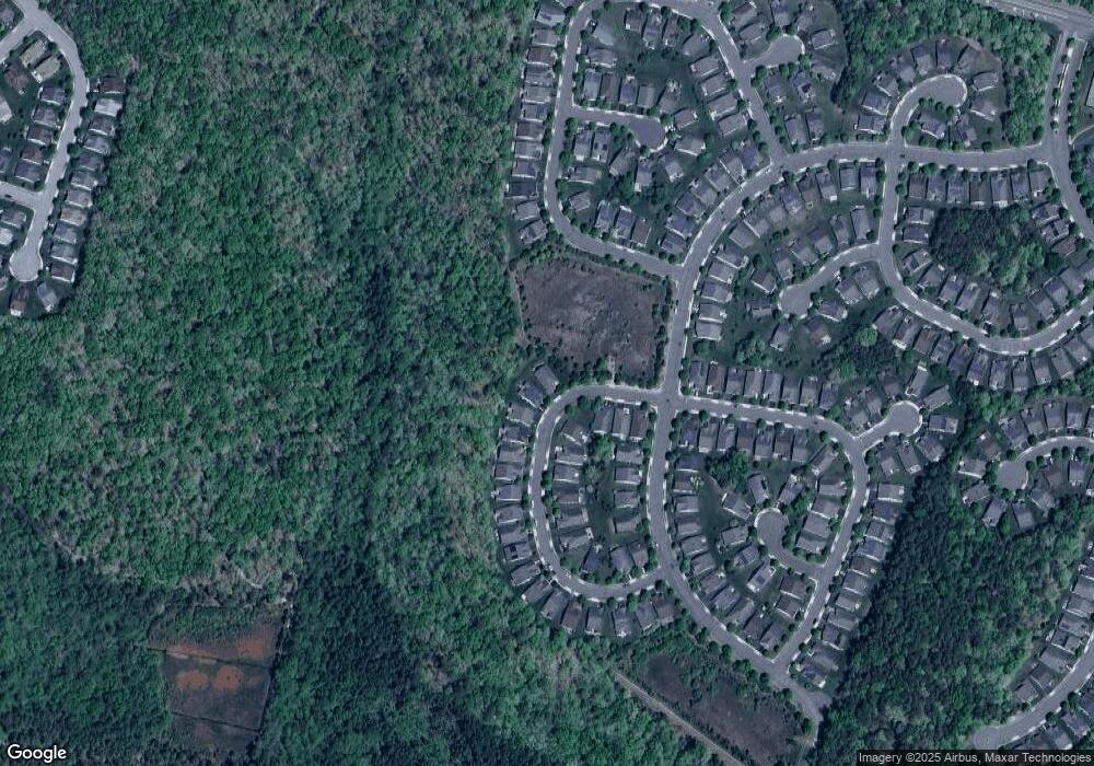
Map
Nearby Homes
- 10 Vineyard Way
- 14 Vineyard Way
- 57 Hatteras Way
- 2 Mayport Ln
- 33 Quincy Terrace
- 18 Norwalk Ln
- 44 Portland St
- 21 Hingham Ln
- 1999 Breakers Dr
- 6 Jolly Roger Rd
- 4 Jolly Roger Rd
- 8 Jolly Roger Rd
- 64 Portland St
- 27 Mission Way
- 40 Mission Way
- 37 Mission Way
- 14 Westport Dr
- 28 Passage Ln
- 33 Woodchuck Dr
- 4 Plunder Ave
- 8 Solomans Dr
- 10 Solomans Dr
- 9 Solomans Dr
- 12 Solomans Dr
- 5 Solomans Dr
- 14 Solomans Dr
- 13 Solomans Dr
- 3 Solomans Dr
- 15 Solomans Dr
- 16 Solomans Dr
- 1 Solomans Dr
- 17 Solomans Dr
- 0 Hatteras Way Unit 22434466
- 0 Hatteras Way Unit NJOC2001706
- 0 Hatteras Way Unit 21929312
- 0 Hatteras Way Unit NJOC383564
- 18 Solomans Dr
- 44 Hatteras Way
- 21 Solomans Dr
- 46 Hatteras Way