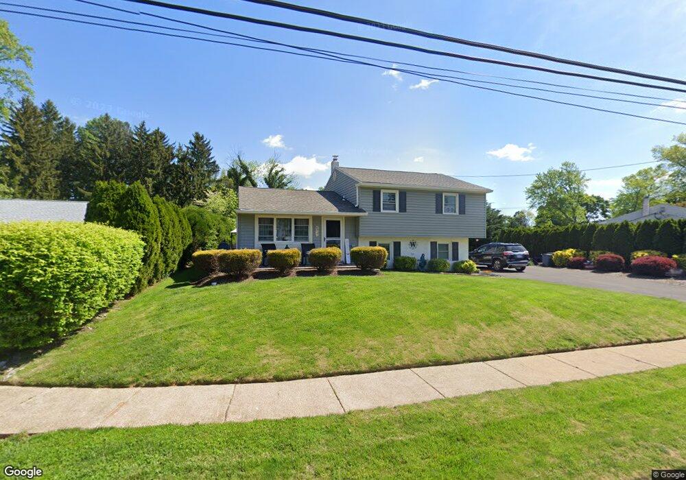
6 Somers Ave Feasterville Trevose, PA 19053
Estimated Value: $414,266 - $483,000
3
Beds
2
Baths
1,106
Sq Ft
$401/Sq Ft
Est. Value
About This Home
This home is located at 6 Somers Ave, Feasterville Trevose, PA 19053 and is currently estimated at $443,317, approximately $400 per square foot. 6 Somers Ave is a home located in Bucks County with nearby schools including Tawanka Elementary School, Poquessing Middle School, and Neshaminy High School.
Ownership History
Date
Name
Owned For
Owner Type
Purchase Details
Closed on
Sep 21, 2006
Sold by
Brosius Marie S
Bought by
Wilczynski James T and Wilczynski Veronica T
Current Estimated Value
Home Financials for this Owner
Home Financials are based on the most recent Mortgage that was taken out on this home.
Original Mortgage
$223,200
Interest Rate
6.29%
Mortgage Type
Purchase Money Mortgage
Purchase Details
Closed on
Feb 1, 1990
Bought by
Brosius Marie S
Purchase Details
Closed on
Dec 1, 1989
Sold by
Brosius William L and Brosius Marie S
Bought by
Brosius Marie S
Home Financials for this Owner
Home Financials are based on the most recent Mortgage that was taken out on this home.
Original Mortgage
$25,000
Interest Rate
7.08%
Create a Home Valuation Report for This Property
The Home Valuation Report is an in-depth analysis detailing your home's value as well as a comparison with similar homes in the area
Home Values in the Area
Average Home Value in this Area
Purchase History
| Date | Buyer | Sale Price | Title Company |
|---|---|---|---|
| Wilczynski James T | $279,000 | I Abstract & Title Agency Ll | |
| Brosius Marie S | -- | -- | |
| Brosius Marie S | -- | -- |
Source: Public Records
Mortgage History
| Date | Status | Borrower | Loan Amount |
|---|---|---|---|
| Previous Owner | Wilczynski James T | $223,200 | |
| Previous Owner | Brosius Marie S | $25,000 |
Source: Public Records
Tax History Compared to Growth
Tax History
| Year | Tax Paid | Tax Assessment Tax Assessment Total Assessment is a certain percentage of the fair market value that is determined by local assessors to be the total taxable value of land and additions on the property. | Land | Improvement |
|---|---|---|---|---|
| 2025 | $5,021 | $23,600 | $6,160 | $17,440 |
| 2024 | $5,021 | $23,600 | $6,160 | $17,440 |
| 2023 | $4,974 | $23,600 | $6,160 | $17,440 |
| 2022 | $4,841 | $23,600 | $6,160 | $17,440 |
| 2021 | $4,841 | $23,600 | $6,160 | $17,440 |
| 2020 | $4,782 | $23,600 | $6,160 | $17,440 |
| 2019 | $4,674 | $23,600 | $6,160 | $17,440 |
| 2018 | $4,586 | $23,600 | $6,160 | $17,440 |
| 2017 | $4,467 | $23,600 | $6,160 | $17,440 |
| 2016 | $4,467 | $23,600 | $6,160 | $17,440 |
| 2015 | $3,381 | $23,600 | $6,160 | $17,440 |
| 2014 | $3,381 | $23,600 | $6,160 | $17,440 |
Source: Public Records
Map
Nearby Homes
- 24 Springmeadow Rd
- 235 Andrews Rd
- 517 Somers Ave
- 100 E Endfield Rd
- 111 E Endfield Rd
- 125 Fox Hollow Dr
- 2067 Herrick Ave
- 4357 Brownsville Rd
- 510 Walnut Ave
- 402 Larchwood Ave
- 2053 Christina Ct
- 387 Larchwood Ave
- 428 Fox Hollow Dr
- 611 Rosewood Ave
- 1515 N Meadowbrook Rd
- 533 Avenue F
- 1700 Colonial Dr
- 2304 Brownsville Rd Unit L22
- 2304 Brownsville Rd Unit P11
- 2304 Brownsville Rd