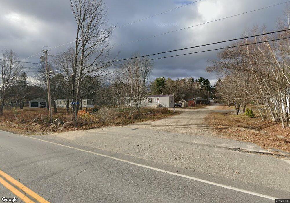
6 Sophies Way Bridgton, ME 04009
Estimated Value: $171,981 - $385,000
--
Bed
--
Bath
840
Sq Ft
$338/Sq Ft
Est. Value
About This Home
This home is located at 6 Sophies Way, Bridgton, ME 04009 and is currently estimated at $283,660, approximately $337 per square foot. 6 Sophies Way is a home located in Cumberland County with nearby schools including Lake Region High School.
Ownership History
Date
Name
Owned For
Owner Type
Purchase Details
Closed on
Dec 9, 2009
Sold by
Allen Wallace C
Bought by
Frock Deborah A
Current Estimated Value
Home Financials for this Owner
Home Financials are based on the most recent Mortgage that was taken out on this home.
Original Mortgage
$340,000
Outstanding Balance
$223,129
Interest Rate
5.02%
Mortgage Type
Purchase Money Mortgage
Estimated Equity
$60,531
Create a Home Valuation Report for This Property
The Home Valuation Report is an in-depth analysis detailing your home's value as well as a comparison with similar homes in the area
Home Values in the Area
Average Home Value in this Area
Purchase History
| Date | Buyer | Sale Price | Title Company |
|---|---|---|---|
| Frock Deborah A | -- | -- |
Source: Public Records
Mortgage History
| Date | Status | Borrower | Loan Amount |
|---|---|---|---|
| Open | Frock Deborah A | $340,000 |
Source: Public Records
Tax History Compared to Growth
Tax History
| Year | Tax Paid | Tax Assessment Tax Assessment Total Assessment is a certain percentage of the fair market value that is determined by local assessors to be the total taxable value of land and additions on the property. | Land | Improvement |
|---|---|---|---|---|
| 2024 | $1,299 | $76,161 | $33,192 | $42,969 |
| 2023 | $1,310 | $76,161 | $33,192 | $42,969 |
| 2022 | $721 | $47,411 | $27,192 | $20,219 |
| 2021 | $702 | $47,411 | $27,192 | $20,219 |
| 2020 | $709 | $47,411 | $27,192 | $20,219 |
| 2019 | $711 | $47,411 | $27,192 | $20,219 |
| 2018 | $702 | $47,411 | $27,192 | $20,219 |
| 2017 | $725 | $47,411 | $27,192 | $20,219 |
| 2016 | $704 | $47,411 | $27,192 | $20,219 |
| 2015 | $853 | $62,035 | $34,069 | $27,966 |
| 2014 | $872 | $62,035 | $34,069 | $27,966 |
Source: Public Records
Map
Nearby Homes
- 100 North Rd
- 120 North Rd
- Lot #3 Northwoods Ln
- 97 Westwood Cottage Dr
- Lot 2 North Rd
- 000 North Rd
- Lot 3 Wildwood Rd
- 161 Swamp Rd
- 12 Gabardi Ln
- 169 S Bridgton Rd
- 401 Hio Ridge Rd
- 32 Swamp Rd
- 8 Evans Hill Dr
- 0 Hio Ridge Rd Unit 1637364
- 3 A St
- 0 Tuttle Ln Unit 1628227
- 28 Ski Sand Ln
- 220 S High St
- 4 C St
- 6 Woodland Ct