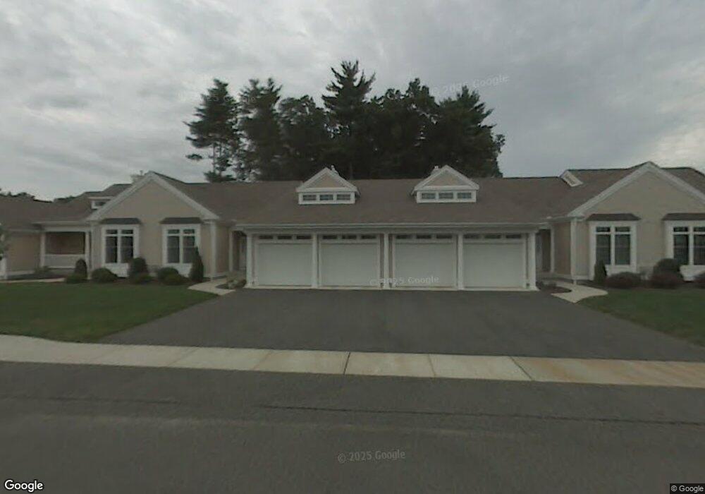
6 Spruce Dr Wilbraham, MA 01095
Estimated Value: $493,000 - $540,000
2
Beds
2
Baths
1,769
Sq Ft
$292/Sq Ft
Est. Value
About This Home
This home is located at 6 Spruce Dr, Wilbraham, MA 01095 and is currently estimated at $515,768, approximately $291 per square foot. 6 Spruce Dr is a home located in Hampden County with nearby schools including Minnechaug Regional High School and Wilbraham & Monson Academy.
Ownership History
Date
Name
Owned For
Owner Type
Purchase Details
Closed on
Jun 17, 2016
Sold by
Dowling John W Est
Bought by
W E 3Rd & D P Hick Irt
Current Estimated Value
Purchase Details
Closed on
Apr 10, 2003
Sold by
Woods At Wilbraham Llc
Bought by
Dowding Dorothy T and Dowding John W
Home Financials for this Owner
Home Financials are based on the most recent Mortgage that was taken out on this home.
Original Mortgage
$145,000
Interest Rate
5.86%
Mortgage Type
Purchase Money Mortgage
Create a Home Valuation Report for This Property
The Home Valuation Report is an in-depth analysis detailing your home's value as well as a comparison with similar homes in the area
Home Values in the Area
Average Home Value in this Area
Purchase History
| Date | Buyer | Sale Price | Title Company |
|---|---|---|---|
| W E 3Rd & D P Hick Irt | $290,000 | -- | |
| Dowding Dorothy T | $249,900 | -- |
Source: Public Records
Mortgage History
| Date | Status | Borrower | Loan Amount |
|---|---|---|---|
| Previous Owner | Dowding Dorothy T | $145,000 |
Source: Public Records
Tax History Compared to Growth
Tax History
| Year | Tax Paid | Tax Assessment Tax Assessment Total Assessment is a certain percentage of the fair market value that is determined by local assessors to be the total taxable value of land and additions on the property. | Land | Improvement |
|---|---|---|---|---|
| 2025 | $7,653 | $428,000 | $0 | $428,000 |
| 2024 | $6,839 | $369,700 | $0 | $369,700 |
| 2023 | $70 | $361,800 | $0 | $361,800 |
| 2022 | $7,042 | $343,700 | $0 | $343,700 |
| 2021 | $6,369 | $277,400 | $0 | $277,400 |
| 2020 | $6,208 | $277,400 | $0 | $277,400 |
| 2019 | $6,047 | $277,400 | $0 | $277,400 |
| 2018 | $6,203 | $274,000 | $0 | $274,000 |
| 2017 | $6,028 | $274,000 | $0 | $274,000 |
| 2016 | $5,957 | $275,800 | $0 | $275,800 |
| 2015 | $5,759 | $275,800 | $0 | $275,800 |
Source: Public Records
Map
Nearby Homes
- 79 High Pine Cir
- 69 High Pine Cir
- 54 High Pine Cir
- 35 Lake Dr
- 4 Hillcrest Dr
- 2 Vista Rd
- 28 Decorie Dr
- 46 Washington Rd
- 2 Bayberry Dr Unit 51
- 20 Old Orchard Rd
- 8 Patriot Ridge Ln
- 474 Mountain Rd
- 474-480 Mountain Rd
- 6 Teak Terrace Unit 24
- 19 Linwood Dr
- 182 Mountain Rd
- 99 Sandalwood Dr Unit site 00
- 103 Sandalwood Dr Unit site 00
- 57 Sandalwood Dr Unit site 61
- 111 Sandalwood Dr Unit site 00
- 8 Spruce Dr
- 4 Spruce Dr
- 2 Spruce Dr
- 6 Spruce Dr Unit 3
- 66 High Pine Cir
- 64 High Pine Cir
- 14 Spruce Dr
- 10 Spruce Dr
- 12 Spruce Dr
- 9 Balsam Dr
- 11 Balsam Dr
- 11 Balsam Dr Unit 11
- 6 Balsam Dr
- 12 Balsam Dr
- 10 Balsam Dr
- 5 Peach St
- 5 Peach St Unit 5
- 8 Balsam Dr
- 84 High Pine Cir Unit 84
- 84 High Pine Cir Unit 184