Estimated Value: $377,000 - $437,000
3
Beds
2
Baths
1,650
Sq Ft
$244/Sq Ft
Est. Value
About This Home
This home is located at 6 Sprucewood Ln, Avon, CT 06001 and is currently estimated at $402,942, approximately $244 per square foot. 6 Sprucewood Ln is a home located in Hartford County with nearby schools including Thompson Brook School, Pine Grove School, and Avon Middle School.
Ownership History
Date
Name
Owned For
Owner Type
Purchase Details
Closed on
Jul 5, 2005
Sold by
Norton Nancy S
Bought by
Pellegrini Thomas A and Pellegrini Lynn A
Current Estimated Value
Purchase Details
Closed on
Aug 26, 1998
Sold by
Lattanzio Michele G
Bought by
Norton Nancy S
Purchase Details
Closed on
Mar 30, 1994
Sold by
Pervere Francis
Bought by
Lattanzio Michele
Create a Home Valuation Report for This Property
The Home Valuation Report is an in-depth analysis detailing your home's value as well as a comparison with similar homes in the area
Home Values in the Area
Average Home Value in this Area
Purchase History
| Date | Buyer | Sale Price | Title Company |
|---|---|---|---|
| Pellegrini Thomas A | $287,000 | -- | |
| Pellegrini Thomas A | $287,000 | -- | |
| Norton Nancy S | $145,000 | -- | |
| Norton Nancy S | $145,000 | -- | |
| Lattanzio Michele | $6,500 | -- | |
| Lattanzio Michele | $136,500 | -- | |
| Lattanzio Michele | $6,500 | -- |
Source: Public Records
Mortgage History
| Date | Status | Borrower | Loan Amount |
|---|---|---|---|
| Open | Lattanzio Michele | $45,000 | |
| Previous Owner | Lattanzio Michele | $119,000 |
Source: Public Records
Tax History Compared to Growth
Tax History
| Year | Tax Paid | Tax Assessment Tax Assessment Total Assessment is a certain percentage of the fair market value that is determined by local assessors to be the total taxable value of land and additions on the property. | Land | Improvement |
|---|---|---|---|---|
| 2025 | $6,926 | $225,230 | $0 | $225,230 |
| 2024 | $6,680 | $225,230 | $0 | $225,230 |
| 2023 | $5,518 | $155,930 | $0 | $155,930 |
| 2022 | $5,397 | $155,930 | $0 | $155,930 |
| 2021 | $5,334 | $155,930 | $0 | $155,930 |
| 2020 | $5,130 | $155,930 | $0 | $155,930 |
| 2019 | $5,130 | $155,930 | $0 | $155,930 |
| 2018 | $4,888 | $155,930 | $0 | $155,930 |
| 2017 | $4,770 | $155,930 | $0 | $155,930 |
| 2016 | $4,603 | $155,930 | $0 | $155,930 |
| 2015 | $4,491 | $155,930 | $0 | $155,930 |
| 2014 | $4,416 | $155,930 | $0 | $155,930 |
Source: Public Records
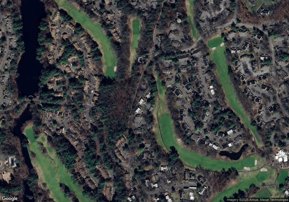
Map
Nearby Homes
- 44 Applewood Ln Unit 44
- 15 Greenwich Ln Unit 15
- 7 Chestnut Dr
- 39 Heritage Dr Unit 39
- 22 Heritage Dr Unit 22
- 94 Sanford Ave
- 3 Heritage Dr
- 2 Muirfield Ln
- 5 Homestead Ln
- 81 Bronson Rd
- 94 Perry St
- 26 Sunrise Dr
- 31 Railroad Ave
- 60 Hollister Dr
- 16 Chevas Rd
- 26 Ridgewood Rd
- 50 Northwoods Rd
- 148 River Rd
- 11 Hollister Dr
- 55 Depot Place
- 5 Sprucewood Ln
- 4 Balsam Ct
- 4 Balsam Ct
- 4 Sprucewood Ln
- 3 Balsam Ct
- 3 Sprucewood Ln
- 3 Sprucewood Ln Unit 3
- 2 Balsam Ct
- 2 Sprucewood Ln
- 2 Sprucewood Ln
- 2 Sprucewood Ln Unit 2
- 2 Sprucewood Ln Unit 229b
- 1 Balsam Ct
- 1 Sprucewood Ln
- 1 Sprucewood Ln Unit 229-A
- 1 Sprucewood Ln Unit 1
- 7 Sprucewood Ln
- 8 Sprucewood Ln
- 47 Applewood Ln
- 9 Sprucewood Ln