6 State Route 94 Blairstown, NJ 07825
Estimated Value: $417,000 - $456,000
--
Bed
--
Bath
1,404
Sq Ft
$314/Sq Ft
Est. Value
About This Home
This home is located at 6 State Route 94, Blairstown, NJ 07825 and is currently estimated at $440,846, approximately $313 per square foot. 6 State Route 94 is a home with nearby schools including Blairstown Elementary School, North Warren Regional School, and Ridge & Valley Charter School.
Ownership History
Date
Name
Owned For
Owner Type
Purchase Details
Closed on
Feb 6, 2015
Sold by
Kerschner Robert H
Bought by
Mcevoy David W
Current Estimated Value
Home Financials for this Owner
Home Financials are based on the most recent Mortgage that was taken out on this home.
Original Mortgage
$201,020
Outstanding Balance
$154,758
Interest Rate
3.9%
Mortgage Type
New Conventional
Estimated Equity
$286,088
Create a Home Valuation Report for This Property
The Home Valuation Report is an in-depth analysis detailing your home's value as well as a comparison with similar homes in the area
Home Values in the Area
Average Home Value in this Area
Purchase History
| Date | Buyer | Sale Price | Title Company |
|---|---|---|---|
| Mcevoy David W | $197,000 | Agent For Westcor Land Title |
Source: Public Records
Mortgage History
| Date | Status | Borrower | Loan Amount |
|---|---|---|---|
| Open | Mcevoy David W | $201,020 |
Source: Public Records
Tax History Compared to Growth
Tax History
| Year | Tax Paid | Tax Assessment Tax Assessment Total Assessment is a certain percentage of the fair market value that is determined by local assessors to be the total taxable value of land and additions on the property. | Land | Improvement |
|---|---|---|---|---|
| 2025 | $6,159 | $198,600 | $83,400 | $115,200 |
| 2024 | $5,724 | $198,600 | $83,400 | $115,200 |
| 2023 | $5,606 | $198,600 | $83,400 | $115,200 |
| 2022 | $5,606 | $198,600 | $83,400 | $115,200 |
| 2021 | $4,798 | $198,600 | $83,400 | $115,200 |
| 2020 | $4,909 | $198,600 | $83,400 | $115,200 |
| 2019 | $4,568 | $198,600 | $83,400 | $115,200 |
| 2018 | $4,568 | $198,600 | $83,400 | $115,200 |
| 2017 | $4,584 | $198,600 | $83,400 | $115,200 |
| 2016 | $4,600 | $198,600 | $83,400 | $115,200 |
| 2015 | $4,520 | $198,600 | $83,400 | $115,200 |
| 2014 | $4,433 | $198,600 | $83,400 | $115,200 |
Source: Public Records
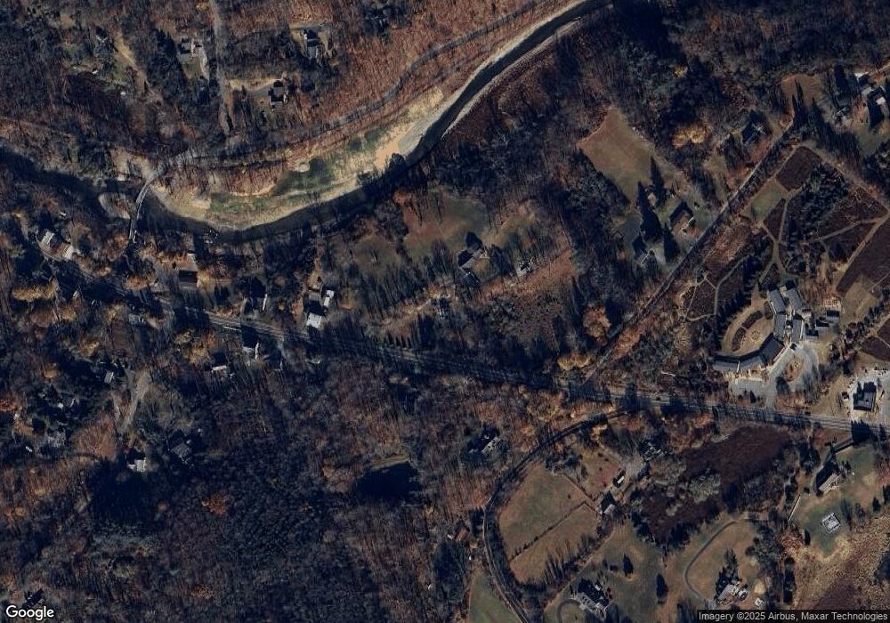
Map
Nearby Homes
- 18 New Jersey 94
- 16 Stillwater Rd
- 76 Hope Rd
- 17 High St
- 32 High St
- 39 Stillwater Rd
- 150 Silver Lake Rd
- 6 Main St
- 12 Jones Ln
- 5 Ward Rd
- 82 Spring Valley Rd
- 1054 Route94
- 42C Spring Valley Rd
- 5 Karen Dr
- 14 Cedarville Rd
- 30 Lanning Rd
- 229 Spring Valley Rd
- 89 Millbrook Rd
- 49 Spring Valley Rd
- 17 Bear Cave Rd
- 6 New Jersey 94
- 8 State Route 94
- 8 State Route 94
- 11 New Jersey 94
- 3 State Route 94
- 3 New Jersey 94
- 12 New Jersey 94
- 2 Camp Wasigan Rd
- 12 State Route 94
- 9 State Route 94
- 11 State Route 94
- 14 State Route 94
- 14 State Route 94
- 2 State Route 94
- 7 Pippin Hill Rd
- 11 Camp Wasigan Rd
- 11 Pippin Hill Rd
- 6 E Crisman Rd
- 5 Mingle Rd
- 2 Mingle Rd