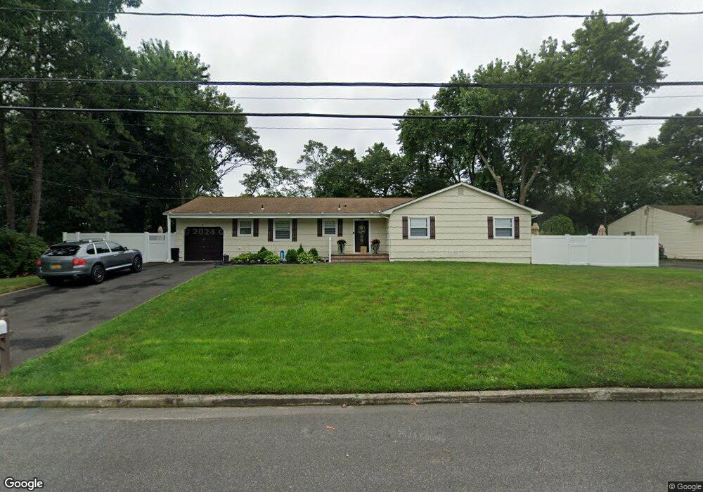
6 Stewart Cir Centereach, NY 11720
Estimated Value: $571,000 - $634,000
3
Beds
2
Baths
1,814
Sq Ft
$340/Sq Ft
Est. Value
About This Home
This home is located at 6 Stewart Cir, Centereach, NY 11720 and is currently estimated at $616,417, approximately $339 per square foot. 6 Stewart Cir is a home located in Suffolk County with nearby schools including Our Savior New American School.
Ownership History
Date
Name
Owned For
Owner Type
Purchase Details
Closed on
Aug 2, 2021
Sold by
Ciano Capital Llc
Bought by
Tavares Conrado and Tavares Carmen
Current Estimated Value
Purchase Details
Closed on
Mar 10, 2021
Sold by
Holm Barbara L and Holm Helen A
Bought by
Ciano Capital Llc
Home Financials for this Owner
Home Financials are based on the most recent Mortgage that was taken out on this home.
Original Mortgage
$150,000
Interest Rate
2.73%
Mortgage Type
Stand Alone Refi Refinance Of Original Loan
Purchase Details
Closed on
Jul 28, 1997
Sold by
Holm Barbara and Vitale Mona M
Bought by
Holm Barbara and Vitale Mona M
Create a Home Valuation Report for This Property
The Home Valuation Report is an in-depth analysis detailing your home's value as well as a comparison with similar homes in the area
Home Values in the Area
Average Home Value in this Area
Purchase History
| Date | Buyer | Sale Price | Title Company |
|---|---|---|---|
| Tavares Conrado | $436,000 | None Available | |
| Ciano Capital Llc | $300,000 | None Available | |
| Holm Barbara | -- | Chicago Title Insurance Co |
Source: Public Records
Mortgage History
| Date | Status | Borrower | Loan Amount |
|---|---|---|---|
| Previous Owner | Ciano Capital Llc | $150,000 |
Source: Public Records
Tax History Compared to Growth
Tax History
| Year | Tax Paid | Tax Assessment Tax Assessment Total Assessment is a certain percentage of the fair market value that is determined by local assessors to be the total taxable value of land and additions on the property. | Land | Improvement |
|---|---|---|---|---|
| 2024 | $11,995 | $2,700 | $300 | $2,400 |
| 2023 | $11,995 | $2,700 | $300 | $2,400 |
| 2022 | $8,481 | $2,700 | $300 | $2,400 |
| 2021 | $8,481 | $2,700 | $300 | $2,400 |
| 2020 | $8,702 | $2,700 | $300 | $2,400 |
| 2019 | $8,702 | $0 | $0 | $0 |
| 2018 | $8,185 | $2,700 | $300 | $2,400 |
| 2017 | $8,185 | $2,700 | $300 | $2,400 |
| 2016 | $8,190 | $2,700 | $300 | $2,400 |
| 2015 | -- | $2,700 | $300 | $2,400 |
| 2014 | -- | $2,700 | $300 | $2,400 |
Source: Public Records
Map
Nearby Homes
- 11 Norman Dr
- 22 Shamrock Ln
- 40 Kent Ln
- 0 N Coleman Rd Unit ONE3546700
- 117 N Coleman Rd
- 131 Eastwood Blvd
- 25 Bonnybill Dr
- 2 Unity Dr
- N/C Pleasant Lot 1 Ave
- 18 Bonnybill Dr
- 70 Hunter Ln
- 176 Avondale Dr
- 22 Kennedy Dr
- 32 Garden Ln
- 141 Smithtown Polk Blvd
- 24 Laura Dr
- 358 Eastwood Blvd
- 120 Ronkonkoma Blvd
- 23 Woods Ln
- 324 Hawkins Rd