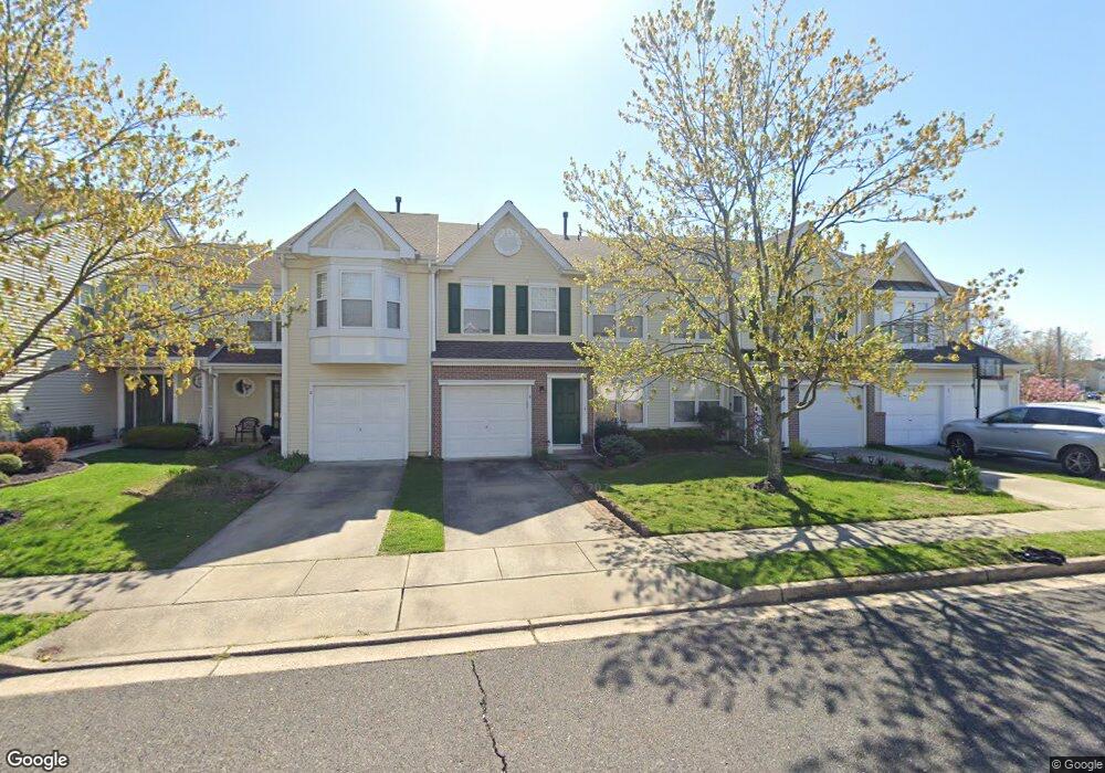
6 Stokes Rd Mount Laurel, NJ 08054
Estimated Value: $430,403 - $465,000
Studio
--
Bath
2,040
Sq Ft
$219/Sq Ft
Est. Value
About This Home
This home is located at 6 Stokes Rd, Mount Laurel, NJ 08054 and is currently estimated at $447,351, approximately $219 per square foot. 6 Stokes Rd is a home located in Burlington County with nearby schools including Countryside Elementary School, T.E. Harrington Middle School, and Mount Laurel Hartford School.
Ownership History
Date
Name
Owned For
Owner Type
Purchase Details
Closed on
Jul 31, 2002
Sold by
Kauffman Phillip I and Kauffman Shari Lyn
Bought by
Coss Wanda I
Current Estimated Value
Home Financials for this Owner
Home Financials are based on the most recent Mortgage that was taken out on this home.
Original Mortgage
$125,000
Outstanding Balance
$52,288
Interest Rate
6.39%
Estimated Equity
$395,063
Purchase Details
Closed on
May 14, 1998
Sold by
Kerprich David P and Kerprich Caren J
Bought by
Kauffman Philip I and Kauffman Shari Lyn
Home Financials for this Owner
Home Financials are based on the most recent Mortgage that was taken out on this home.
Original Mortgage
$137,250
Interest Rate
7.05%
Purchase Details
Closed on
Feb 29, 1996
Sold by
Orleans Construction Corp
Bought by
Kerprich David P and Kerprich Caren J
Create a Home Valuation Report for This Property
The Home Valuation Report is an in-depth analysis detailing your home's value as well as a comparison with similar homes in the area
Home Values in the Area
Average Home Value in this Area
Purchase History
| Date | Buyer | Sale Price | Title Company |
|---|---|---|---|
| Coss Wanda I | $205,000 | -- | |
| Kauffman Philip I | $152,500 | Congress Title Corp | |
| Kerprich David P | $151,500 | Settlers Title Agency Lp |
Source: Public Records
Mortgage History
| Date | Status | Borrower | Loan Amount |
|---|---|---|---|
| Open | Coss Wanda I | $125,000 | |
| Previous Owner | Kauffman Philip I | $137,250 |
Source: Public Records
Tax History
| Year | Tax Paid | Tax Assessment Tax Assessment Total Assessment is a certain percentage of the fair market value that is determined by local assessors to be the total taxable value of land and additions on the property. | Land | Improvement |
|---|---|---|---|---|
| 2025 | $7,615 | $241,200 | $68,500 | $172,700 |
| 2024 | $7,328 | $241,200 | $68,500 | $172,700 |
| 2023 | $7,328 | $241,200 | $68,500 | $172,700 |
| 2022 | $7,304 | $241,200 | $68,500 | $172,700 |
| 2021 | $7,166 | $241,200 | $68,500 | $172,700 |
| 2020 | $7,026 | $241,200 | $68,500 | $172,700 |
| 2019 | $6,954 | $241,200 | $68,500 | $172,700 |
| 2018 | $6,901 | $241,200 | $68,500 | $172,700 |
| 2017 | $6,722 | $241,200 | $68,500 | $172,700 |
| 2016 | $6,621 | $241,200 | $68,500 | $172,700 |
| 2015 | $6,544 | $241,200 | $68,500 | $172,700 |
| 2014 | $6,479 | $241,200 | $68,500 | $172,700 |
Source: Public Records
Map
Nearby Homes
- 30 Leighton Dr
- 506 Oliphant Ln Unit 506
- 205 Kirby Way Unit 205
- 907A Oliphant Ln Unit 907A
- 58 Watson Dr
- 21 A E Daisy Ln
- 78 Watson Dr
- 16 E Bluebell Ln
- 130B Birchfield Ct Unit B
- 130B Birchfield Ct Unit 130B
- 104B Sumac Ct Unit 104B
- 206 Meadow Dr
- 1604B Steeplebush Terrace Unit 2604B
- 23 E Oleander Dr
- 3 Avandale Ct
- 9 Avandale Ct
- 112 Village Ln Unit 112
- 2702B Bluegrass Dr Unit B
- 2103A Ferndale Ct Unit A
- 35 Sisters Farmstead Dr
Your Personal Tour Guide
Ask me questions while you tour the home.