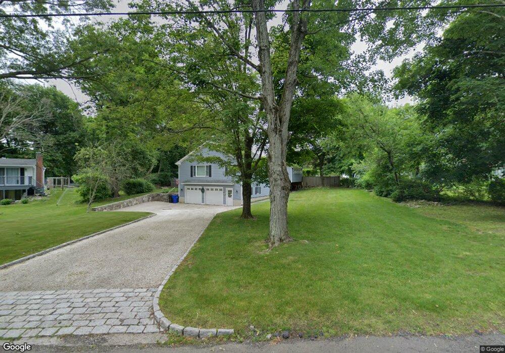
6 Stonecrop Rd S Norwalk, CT 06851
Cranbury NeighborhoodEstimated Value: $896,000 - $954,000
3
Beds
4
Baths
2,240
Sq Ft
$414/Sq Ft
Est. Value
About This Home
This home is located at 6 Stonecrop Rd S, Norwalk, CT 06851 and is currently estimated at $926,734, approximately $413 per square foot. 6 Stonecrop Rd S is a home located in Fairfield County with nearby schools including Cranbury Elementary School, West Rocks Middle School, and Norwalk High School.
Ownership History
Date
Name
Owned For
Owner Type
Purchase Details
Closed on
Aug 20, 2021
Sold by
Gurmari Michael and Tischio Patricia
Bought by
Ostaszewski Brian and Tookmanian Denni
Current Estimated Value
Home Financials for this Owner
Home Financials are based on the most recent Mortgage that was taken out on this home.
Original Mortgage
$535,200
Outstanding Balance
$486,663
Interest Rate
2.9%
Mortgage Type
Purchase Money Mortgage
Estimated Equity
$440,071
Purchase Details
Closed on
Nov 26, 2012
Sold by
Tischio Patricia
Bought by
Tischio Patricia
Purchase Details
Closed on
Aug 12, 1996
Sold by
Tischio Pat
Bought by
Tischio Patricia L
Create a Home Valuation Report for This Property
The Home Valuation Report is an in-depth analysis detailing your home's value as well as a comparison with similar homes in the area
Home Values in the Area
Average Home Value in this Area
Purchase History
| Date | Buyer | Sale Price | Title Company |
|---|---|---|---|
| Ostaszewski Brian | $669,000 | None Available | |
| Ostaszewski Brian | $669,000 | None Available | |
| Tischio Patricia | -- | -- | |
| Tischio Patricia | -- | -- | |
| Tischio Patricia L | $200,000 | -- | |
| Tischio Patricia L | $200,000 | -- |
Source: Public Records
Mortgage History
| Date | Status | Borrower | Loan Amount |
|---|---|---|---|
| Open | Ostaszewski Brian | $535,200 | |
| Closed | Ostaszewski Brian | $535,200 | |
| Previous Owner | Tischio Patricia L | $80,000 | |
| Previous Owner | Tischio Patricia L | $158,000 |
Source: Public Records
Tax History Compared to Growth
Tax History
| Year | Tax Paid | Tax Assessment Tax Assessment Total Assessment is a certain percentage of the fair market value that is determined by local assessors to be the total taxable value of land and additions on the property. | Land | Improvement |
|---|---|---|---|---|
| 2025 | $13,377 | $563,490 | $209,530 | $353,960 |
| 2024 | $13,172 | $563,490 | $209,530 | $353,960 |
| 2023 | $10,297 | $412,440 | $167,010 | $245,430 |
| 2022 | $10,135 | $412,440 | $167,010 | $245,430 |
| 2021 | $8,624 | $412,440 | $167,010 | $245,430 |
| 2020 | $9,736 | $412,440 | $167,010 | $245,430 |
| 2019 | $9,403 | $412,440 | $167,010 | $245,430 |
| 2018 | $10,492 | $404,640 | $180,260 | $224,380 |
| 2017 | $9,433 | $404,640 | $180,260 | $224,380 |
| 2016 | $10,294 | $404,640 | $180,260 | $224,380 |
| 2015 | $9,246 | $404,640 | $180,260 | $224,380 |
| 2014 | $10,132 | $404,640 | $180,260 | $224,380 |
Source: Public Records
Map
Nearby Homes
- 8 Stonecrop Rd
- 4 Frank St
- 27 Stonecrop Rd
- 101 Chestnut Hill Rd
- 35 Mohawk Dr
- 41 Mohawk Dr
- 32 Thistle Rd
- 4 Newtown Turnpike
- 2 Wildgoose Ln
- 9 Trailside Dr
- 56 Partrick Rd
- 180 E Rocks Rd
- 57 Partrick Rd
- 7 Peaceful Ln
- 3 Tanglewood Ln
- 9 Allen Ct
- 33 Pequot Trail
- 30 Honeysuckle Dr
- 8 Caddy Rd
- 13 Orchard Hill Rd
- 6 Stonecrop Rd
- 4 Stonecrop Rd
- 37 Chestnut Hill Rd
- 43 Chestnut Hill Rd
- 10 Stonecrop Rd
- 5 Stonecrop Rd S
- 2 Stonecrop Rd
- 5 Stonecrop Rd
- 35 Chestnut Hill Rd
- 47 Chestnut Hill Rd
- 6 Wayfaring Rd
- 10 Wayfaring Rd
- 7 Stonecrop Rd
- 31 Chestnut Hill Rd
- 12 Stonecrop Rd
- 14 Wayfaring Rd
- 51 Chestnut Hill Rd
- 51 Chestnut Hill Rd
- 9 Stonecrop Rd