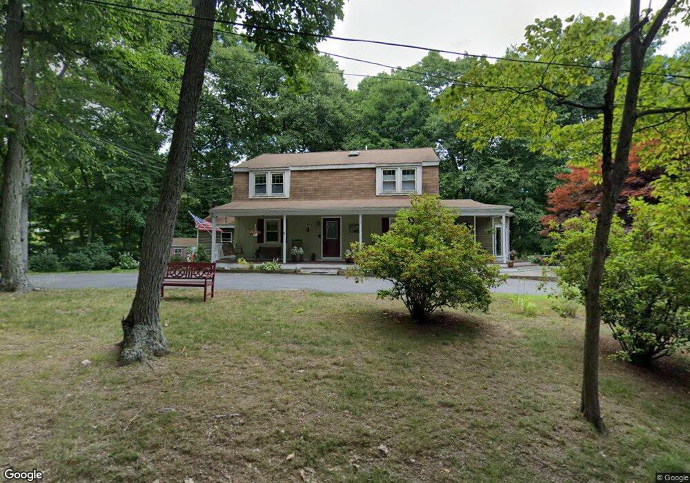
6 Sunset Path Natick, MA 01760
Estimated Value: $1,188,777 - $1,354,000
3
Beds
4
Baths
2,088
Sq Ft
$600/Sq Ft
Est. Value
About This Home
This home is located at 6 Sunset Path, Natick, MA 01760 and is currently estimated at $1,253,194, approximately $600 per square foot. 6 Sunset Path is a home located in Middlesex County with nearby schools including Natick High School, Bennett-Hemenway (Ben-Hem) Elementary School, and Wilson Middle School.
Ownership History
Date
Name
Owned For
Owner Type
Purchase Details
Closed on
Nov 16, 2007
Sold by
Prescott Janice A and Prescott Ronald A
Bought by
Robitaille Nancy J and Robitaille William C
Current Estimated Value
Home Financials for this Owner
Home Financials are based on the most recent Mortgage that was taken out on this home.
Original Mortgage
$400,000
Outstanding Balance
$253,475
Interest Rate
6.41%
Mortgage Type
Purchase Money Mortgage
Estimated Equity
$999,719
Purchase Details
Closed on
Aug 16, 2006
Sold by
Prescott Ft
Bought by
Prescott Janice A and Prescott Ronald A
Create a Home Valuation Report for This Property
The Home Valuation Report is an in-depth analysis detailing your home's value as well as a comparison with similar homes in the area
Home Values in the Area
Average Home Value in this Area
Purchase History
| Date | Buyer | Sale Price | Title Company |
|---|---|---|---|
| Robitaille Nancy J | $595,000 | -- | |
| Prescott Janice A | -- | -- |
Source: Public Records
Mortgage History
| Date | Status | Borrower | Loan Amount |
|---|---|---|---|
| Open | Robitaille Nancy J | $400,000 |
Source: Public Records
Tax History
| Year | Tax Paid | Tax Assessment Tax Assessment Total Assessment is a certain percentage of the fair market value that is determined by local assessors to be the total taxable value of land and additions on the property. | Land | Improvement |
|---|---|---|---|---|
| 2025 | $13,991 | $1,169,800 | $706,700 | $463,100 |
| 2024 | $12,965 | $1,057,500 | $625,200 | $432,300 |
| 2023 | $12,325 | $975,100 | $571,700 | $403,400 |
| 2022 | $11,894 | $891,600 | $513,500 | $378,100 |
| 2021 | $11,062 | $812,800 | $460,000 | $352,800 |
| 2020 | $11,062 | $812,800 | $460,000 | $352,800 |
| 2019 | $10,331 | $812,800 | $460,000 | $352,800 |
| 2018 | $10,597 | $812,000 | $460,000 | $352,000 |
| 2017 | $10,727 | $795,200 | $449,800 | $345,400 |
| 2016 | $10,290 | $758,300 | $416,200 | $342,100 |
| 2015 | $8,780 | $635,300 | $325,200 | $310,100 |
Source: Public Records
Map
Nearby Homes
- 278 N Main St
- 5 Griffin Cir
- 340 N Main St
- 293 Bacon St Unit A
- 136 Commonwealth Rd
- 40 Nouvelle Way Unit 441
- 50 Wethersfield Rd
- 7 Jackson Ct Unit B
- 4 Richard Rd
- 27 2nd St
- 1 Richard Rd
- 45 W Plain St Unit 1
- 29 Irving Rd
- 25 Irving Rd
- 8 Liberty St
- 186 Main St
- 138 W Plain St
- 85 Lake Road Terrace
- 447 Old Connecticut Path
- 56 Greenleaf Cir
- 3 Sunset Path
- 7 Sunset Path
- 10 Sunset Path
- 69 Evergreen Rd
- 60 Evergreen Rd
- 75 Evergreen Rd
- 67 Evergreen Rd
- 58 Evergreen Rd
- 80 Evergreen Rd
- 82 Evergreen Rd
- 63 Evergreen Rd
- 24 Crest Rd
- 28 Crest Rd
- 81 Evergreen Rd
- 22 Crest Rd
- 84 Evergreen Rd
- 48 Evergreen Rd Unit 102,A
- 86 Evergreen Rd
- Lot 59 Evergreen Rd
- 59 Evergreen Rd
Your Personal Tour Guide
Ask me questions while you tour the home.