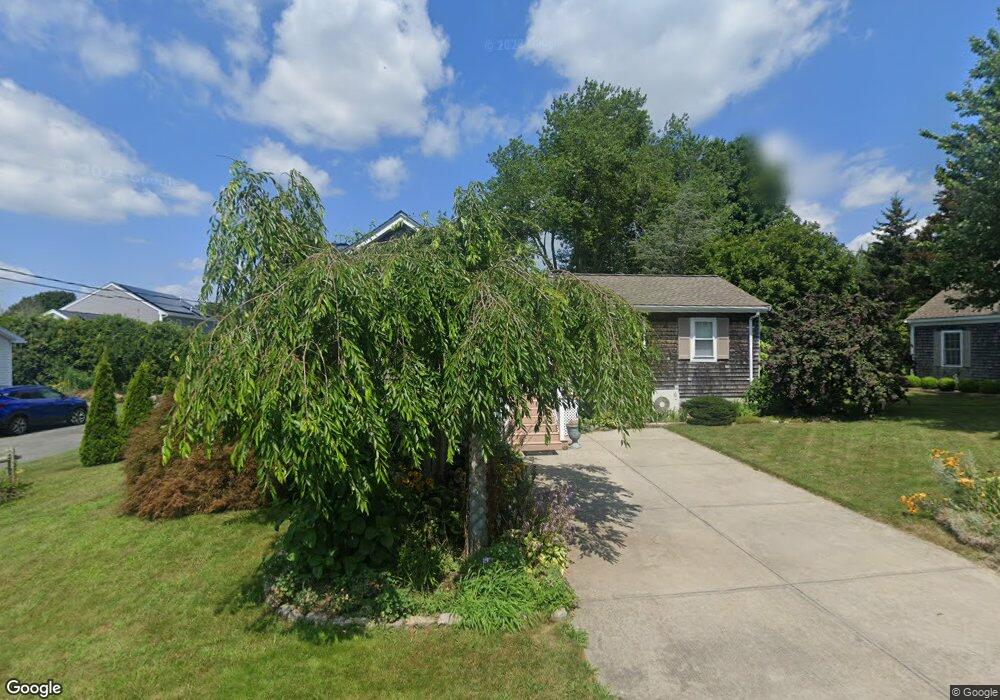
6 Swift St Fairhaven, MA 02719
East Fairhaven NeighborhoodEstimated Value: $424,387 - $479,000
1
Bed
1
Bath
906
Sq Ft
$494/Sq Ft
Est. Value
About This Home
This home is located at 6 Swift St, Fairhaven, MA 02719 and is currently estimated at $447,847, approximately $494 per square foot. 6 Swift St is a home located in Bristol County with nearby schools including Fairhaven High School, City On A Hill Charter Public School New Bedford, and St. Joseph School.
Ownership History
Date
Name
Owned For
Owner Type
Purchase Details
Closed on
Nov 16, 2010
Sold by
Kut-Best Frances
Bought by
Best Frederick and Kut-Best Frances
Current Estimated Value
Purchase Details
Closed on
Nov 1, 1989
Sold by
Roberts Stephen C
Bought by
Kut Frances
Home Financials for this Owner
Home Financials are based on the most recent Mortgage that was taken out on this home.
Original Mortgage
$64,000
Interest Rate
9.9%
Mortgage Type
Purchase Money Mortgage
Purchase Details
Closed on
Oct 15, 1987
Sold by
Mello Francisco
Bought by
Roberts Stephen C
Create a Home Valuation Report for This Property
The Home Valuation Report is an in-depth analysis detailing your home's value as well as a comparison with similar homes in the area
Home Values in the Area
Average Home Value in this Area
Purchase History
We collect this data history from publicly available records. To have your information removed, we recommend requesting removal directly through your county’s website.
| Date | Buyer | Sale Price | Title Company |
|---|---|---|---|
| Best Frederick | -- | -- | |
| Kut Frances | $80,000 | -- | |
| Roberts Stephen C | $39,900 | -- |
Source: Public Records
Mortgage History
We collect this data history from publicly available records. To have your information removed, we recommend requesting removal directly through your county’s website.
| Date | Status | Borrower | Loan Amount |
|---|---|---|---|
| Previous Owner | Roberts Stephen C | $64,000 | |
| Previous Owner | Roberts Stephen C | $64,000 | |
| Previous Owner | Roberts Stephen C | $45,000 |
Source: Public Records
Tax History
| Year | Tax Paid | Tax Assessment Tax Assessment Total Assessment is a certain percentage of the fair market value that is determined by local assessors to be the total taxable value of land and additions on the property. | Land | Improvement |
|---|---|---|---|---|
| 2025 | $33 | $352,700 | $179,000 | $173,700 |
| 2024 | $3,096 | $335,400 | $179,000 | $156,400 |
| 2023 | $2,967 | $298,200 | $156,800 | $141,400 |
| 2022 | $2,822 | $276,100 | $145,700 | $130,400 |
| 2021 | $2,707 | $239,800 | $131,800 | $108,000 |
| 2020 | $2,652 | $239,800 | $131,800 | $108,000 |
| 2019 | $2,503 | $214,500 | $109,300 | $105,200 |
| 2018 | $2,396 | $203,900 | $104,100 | $99,800 |
| 2017 | $2,397 | $199,100 | $104,100 | $95,000 |
| 2016 | $2,374 | $194,900 | $104,100 | $90,800 |
| 2015 | $2,340 | $192,600 | $104,100 | $88,500 |
Source: Public Records
Map
Nearby Homes
- 294 Huttleston Ave Unit 1
- 308 Ocean Meadows
- 280 Huttleston Ave
- 3.5 Golf St
- 15 Shirley St
- 9 Brae Rd
- 20 Manhattan Ave
- 24 Harvard St
- 27 Bayview Ave
- 58 Bayview Ave
- 181 Manor Drive Lot B
- 181 Washington St
- 181 Manor Drive Lot 8x
- 16 Reservation Rd
- lot 1 173 Spring St
- 0 Morey Ln
- 97 Center St
- 2 Washburn Ave
- 10 Old Mattapoisett Neck Rd
- 58 Washington St
Your Personal Tour Guide
Ask me questions while you tour the home.