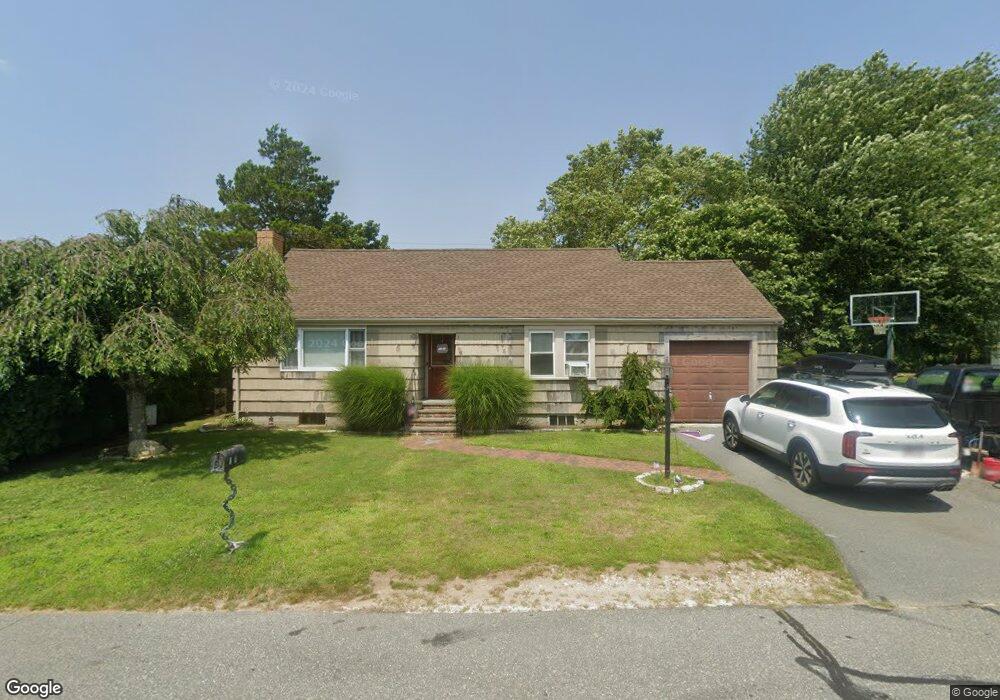
6 Timothy St Fairhaven, MA 02719
Pope Beach NeighborhoodEstimated Value: $435,000 - $529,000
2
Beds
1
Bath
1,452
Sq Ft
$322/Sq Ft
Est. Value
About This Home
This home is located at 6 Timothy St, Fairhaven, MA 02719 and is currently estimated at $467,637, approximately $322 per square foot. 6 Timothy St is a home located in Bristol County with nearby schools including Fairhaven High School, City On A Hill Charter Public School New Bedford, and St. Joseph School.
Ownership History
Date
Name
Owned For
Owner Type
Purchase Details
Closed on
Aug 22, 2007
Sold by
Medina Wanda
Bought by
Marques Bruno M and Marques Crystal L
Current Estimated Value
Home Financials for this Owner
Home Financials are based on the most recent Mortgage that was taken out on this home.
Original Mortgage
$224,477
Interest Rate
6.78%
Mortgage Type
Purchase Money Mortgage
Purchase Details
Closed on
Sep 24, 2003
Sold by
Medina Arthur J
Bought by
Medina Arthur J and Medina Wanda
Create a Home Valuation Report for This Property
The Home Valuation Report is an in-depth analysis detailing your home's value as well as a comparison with similar homes in the area
Home Values in the Area
Average Home Value in this Area
Purchase History
| Date | Buyer | Sale Price | Title Company |
|---|---|---|---|
| Marques Bruno M | $228,000 | -- | |
| Medina Arthur J | -- | -- | |
| Medina Arthur J | -- | -- |
Source: Public Records
Mortgage History
| Date | Status | Borrower | Loan Amount |
|---|---|---|---|
| Open | Medina Arthur J | $227,206 | |
| Closed | Medina Arthur J | $224,477 | |
| Previous Owner | Medina Arthur J | $20,000 |
Source: Public Records
Tax History
| Year | Tax Paid | Tax Assessment Tax Assessment Total Assessment is a certain percentage of the fair market value that is determined by local assessors to be the total taxable value of land and additions on the property. | Land | Improvement |
|---|---|---|---|---|
| 2025 | $32 | $339,900 | $173,100 | $166,800 |
| 2024 | $2,959 | $320,600 | $173,100 | $147,500 |
| 2023 | $2,784 | $279,800 | $151,600 | $128,200 |
| 2022 | $2,641 | $258,400 | $140,900 | $117,500 |
| 2021 | $2,503 | $221,700 | $127,500 | $94,200 |
| 2020 | $2,452 | $221,700 | $127,500 | $94,200 |
| 2019 | $2,309 | $197,900 | $105,700 | $92,200 |
| 2018 | $2,207 | $187,800 | $100,600 | $87,200 |
| 2017 | $2,201 | $182,800 | $100,600 | $82,200 |
| 2016 | $2,178 | $178,800 | $100,600 | $78,200 |
| 2015 | $2,153 | $177,200 | $100,600 | $76,600 |
Source: Public Records
Map
Nearby Homes
- 33 Narragansett Blvd
- 58 Bayview Ave
- 181 Washington St
- 27 Bayview Ave
- 15 Bayview Ave
- 1 Harvard St
- 3.5 Golf St
- 190 Sconticut Neck Rd
- 11 Lawton St
- 2 Washburn Ave
- 77 Adams St
- 145 Pleasant St
- 81 Washington St
- 39 Christian St
- 58 Washington St
- 16 Ash St
- 15 School St
- 5 Laura Ln
- 32 Cedar St
- 0 Nulands Neck Unit 73286360
- 4 Timothy St
- 8 Timothy St
- 7 Timothy St
- 2 Timothy St
- 29 Sconticut Neck Rd
- 25 John St
- 24 John St
- 12 Timothy St
- 31 Sconticut Neck Rd
- 24 Paul St
- 21 John St
- 33 Sconticut Neck Rd
- 38 Sconticut Neck Rd Unit 1
- 4 Marilaine Place
- 16 Timothy St
- 11 Timothy St
- 35 Sconticut Neck Rd
- 22 Paul St
- 17 John St
- 221 Huttleston Ave