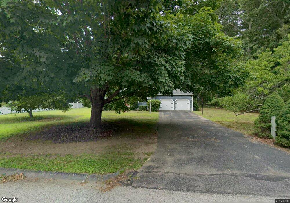
6 Trowbridge Ln Mansfield, MA 02048
Estimated Value: $792,690 - $909,000
4
Beds
3
Baths
2,066
Sq Ft
$422/Sq Ft
Est. Value
About This Home
This home is located at 6 Trowbridge Ln, Mansfield, MA 02048 and is currently estimated at $870,923, approximately $421 per square foot. 6 Trowbridge Ln is a home located in Bristol County with nearby schools including Everett W. Robinson Elementary School, Jordan/Jackson Elementary School, and Harold L. Qualters Middle School.
Ownership History
Date
Name
Owned For
Owner Type
Purchase Details
Closed on
Jul 8, 2005
Sold by
Sams Courtney A and Sams Michael P
Bought by
Scher Daniel and Scher Lauren
Current Estimated Value
Home Financials for this Owner
Home Financials are based on the most recent Mortgage that was taken out on this home.
Original Mortgage
$359,000
Interest Rate
5.71%
Mortgage Type
Purchase Money Mortgage
Purchase Details
Closed on
Sep 22, 2000
Sold by
Spillane Philip S and Spillane Mary C
Bought by
Sams Michael P and Sams Courtney A
Purchase Details
Closed on
Aug 15, 1990
Sold by
Noller Ronald
Bought by
Spillane Phillip S
Create a Home Valuation Report for This Property
The Home Valuation Report is an in-depth analysis detailing your home's value as well as a comparison with similar homes in the area
Home Values in the Area
Average Home Value in this Area
Purchase History
| Date | Buyer | Sale Price | Title Company |
|---|---|---|---|
| Scher Daniel | $517,000 | -- | |
| Sams Michael P | $342,250 | -- | |
| Spillane Phillip S | $224,900 | -- |
Source: Public Records
Mortgage History
| Date | Status | Borrower | Loan Amount |
|---|---|---|---|
| Open | Spillane Phillip S | $290,000 | |
| Closed | Spillane Phillip S | $315,000 | |
| Closed | Scher Daniel | $359,000 | |
| Previous Owner | Spillane Phillip S | $273,800 |
Source: Public Records
Tax History Compared to Growth
Tax History
| Year | Tax Paid | Tax Assessment Tax Assessment Total Assessment is a certain percentage of the fair market value that is determined by local assessors to be the total taxable value of land and additions on the property. | Land | Improvement |
|---|---|---|---|---|
| 2025 | $9,032 | $685,800 | $278,100 | $407,700 |
| 2024 | $8,951 | $663,000 | $290,200 | $372,800 |
| 2023 | $8,675 | $615,700 | $290,200 | $325,500 |
| 2022 | $8,347 | $550,200 | $268,600 | $281,600 |
| 2021 | $8,078 | $525,900 | $224,000 | $301,900 |
| 2020 | $7,953 | $517,800 | $224,000 | $293,800 |
| 2019 | $7,351 | $483,000 | $186,500 | $296,500 |
| 2018 | $7,304 | $469,100 | $177,900 | $291,200 |
| 2017 | $6,849 | $456,000 | $172,800 | $283,200 |
| 2016 | $6,616 | $429,300 | $164,600 | $264,700 |
| 2015 | $6,446 | $415,900 | $164,600 | $251,300 |
Source: Public Records
Map
Nearby Homes
- 2 Trowbridge Ln
- 10 Trowbridge Ln
- 5 Trowbridge Ln
- 182 Tremont St
- 200 Tremont St
- 14 Trowbridge Ln
- 3 Smith Rd
- 9 Trowbridge Ln
- 176 Tremont St
- 195 Tremont St
- 7 Smith Rd
- 8 Lancelot Ln
- 210 Tremont St
- 0 Smith Road Lot 7
- 191 Tremont St
- 185 Tremont St
- 14 Lancelot Ln
- 197 Tremont St
- 170 Tremont St
- 183 Tremont St