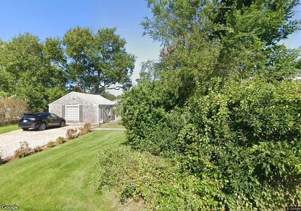
6 Uncle Johns Rd West Dennis, MA 02670
West Dennis NeighborhoodEstimated Value: $629,000 - $674,000
4
Beds
2
Baths
1,521
Sq Ft
$430/Sq Ft
Est. Value
About This Home
This home is located at 6 Uncle Johns Rd, West Dennis, MA 02670 and is currently estimated at $654,302, approximately $430 per square foot. 6 Uncle Johns Rd is a home located in Barnstable County with nearby schools including Dennis-Yarmouth Regional High School and St. Pius X. School.
Ownership History
Date
Name
Owned For
Owner Type
Purchase Details
Closed on
Feb 7, 2025
Sold by
Noble Louise A
Bought by
Decoteau Robin
Current Estimated Value
Purchase Details
Closed on
Oct 3, 2014
Sold by
Crowell William D and Memos John J
Bought by
Noble Robert J and Noble Louise A
Purchase Details
Closed on
Aug 26, 2002
Sold by
Castle Vincent A and Castle Alexis M
Bought by
Memos John J and Memos Gail
Create a Home Valuation Report for This Property
The Home Valuation Report is an in-depth analysis detailing your home's value as well as a comparison with similar homes in the area
Home Values in the Area
Average Home Value in this Area
Purchase History
| Date | Buyer | Sale Price | Title Company |
|---|---|---|---|
| Decoteau Robin | -- | None Available | |
| Noble Robert J | $277,500 | -- | |
| Memos John J | $295,000 | -- | |
| Memos John J | $295,000 | -- |
Source: Public Records
Mortgage History
| Date | Status | Borrower | Loan Amount |
|---|---|---|---|
| Closed | Noble Robert J | $0 |
Source: Public Records
Tax History Compared to Growth
Tax History
| Year | Tax Paid | Tax Assessment Tax Assessment Total Assessment is a certain percentage of the fair market value that is determined by local assessors to be the total taxable value of land and additions on the property. | Land | Improvement |
|---|---|---|---|---|
| 2025 | $2,356 | $544,100 | $127,000 | $417,100 |
| 2024 | $2,293 | $522,300 | $129,300 | $393,000 |
| 2023 | $2,217 | $474,800 | $117,500 | $357,300 |
| 2022 | $2,163 | $386,200 | $117,700 | $268,500 |
| 2021 | $5,513 | $316,500 | $103,800 | $212,700 |
| 2020 | $2,138 | $350,500 | $103,800 | $246,700 |
| 2019 | $5,543 | $321,500 | $101,800 | $219,700 |
| 2018 | $1,960 | $309,200 | $96,900 | $212,300 |
| 2017 | $1,902 | $309,200 | $96,900 | $212,300 |
| 2016 | $1,844 | $282,400 | $107,700 | $174,700 |
| 2015 | $1,807 | $282,400 | $107,700 | $174,700 |
| 2014 | $1,621 | $255,300 | $86,100 | $169,200 |
Source: Public Records
Map
Nearby Homes
- 2 Rita Mary Way
- 14 Schoolhouse Ln
- 209 Main St Unit 3
- 209 Main St Unit 6
- 209 Main St Unit 1
- 209 Main St Unit 2
- 209 Main St Unit 4
- 209 Main St Unit 5
- 308 Old Main St
- 45 Seth Ln
- 40 Kelley Rd
- 23 Doric Ave
- 178 School St
- 29 Bass River Rd
- 181 Pleasant St
- 18 Turner Ln
- 401 Main St Unit 201
- 401 Main St Unit 101
- 22 Powhatan Rd
- 116 N Main St
- 55 Loring Ave
- 51 Loring Ave
- 10 Uncle Johns Rd
- 10 Uncle John's Rd
- 47 Loring Ave
- 9 Uncle Johns Rd
- 10 Debra Way
- 52 Loring Ave
- 16 Uncle Johns Rd
- 43 Loring Ave
- 46 Loring Ave
- 15 Home Acres
- 17 Uncle Johns Rd
- 39 Loring Ave
- 20 Uncle Johns Rd
- 11 Debra Way
- 12 Chase Ave
- 94 Uncle Barneys Rd
- 94 Uncle Barneys Rd
- 68 Loring Ave