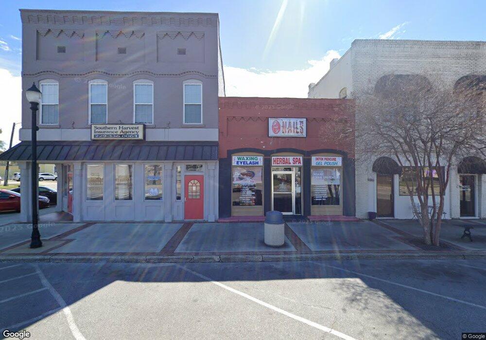
6 W Broad St Camilla, GA 31730
--
Bed
1
Bath
1,298
Sq Ft
2,614
Sq Ft Lot
About This Home
This home is located at 6 W Broad St, Camilla, GA 31730. 6 W Broad St is a home located in Mitchell County with nearby schools including Mitchell County Primary School, Mitchell County Elementary School, and Mitchell County Middle School.
Ownership History
Date
Name
Owned For
Owner Type
Purchase Details
Closed on
May 29, 2014
Sold by
Flint River National Bank
Bought by
Developmen South Georgia Solar
Purchase Details
Closed on
May 9, 2014
Sold by
6 West Broad Street Llc
Bought by
Flint River National Bank
Purchase Details
Closed on
Oct 14, 2008
Sold by
Millsaps Patrick
Bought by
6 West Broad Street Llc
Purchase Details
Closed on
Oct 25, 2007
Sold by
Davis Elizabeth H
Bought by
Millsaps Patrick N
Create a Home Valuation Report for This Property
The Home Valuation Report is an in-depth analysis detailing your home's value as well as a comparison with similar homes in the area
Home Values in the Area
Average Home Value in this Area
Purchase History
| Date | Buyer | Sale Price | Title Company |
|---|---|---|---|
| Developmen South Georgia Solar | $40,000 | -- | |
| Flint River National Bank | -- | -- | |
| 6 West Broad Street Llc | $55,000 | -- | |
| Millsaps Patrick N | $55,000 | -- |
Source: Public Records
Tax History Compared to Growth
Tax History
| Year | Tax Paid | Tax Assessment Tax Assessment Total Assessment is a certain percentage of the fair market value that is determined by local assessors to be the total taxable value of land and additions on the property. | Land | Improvement |
|---|---|---|---|---|
| 2024 | $577 | $13,960 | $1,680 | $12,280 |
| 2023 | $615 | $13,960 | $1,680 | $12,280 |
| 2022 | $0 | $13,960 | $1,680 | $12,280 |
| 2021 | $587 | $13,960 | $1,680 | $12,280 |
| 2020 | $587 | $13,960 | $1,680 | $12,280 |
| 2019 | $584 | $13,960 | $1,680 | $12,280 |
| 2018 | $703 | $16,110 | $1,716 | $14,394 |
| 2017 | $696 | $16,110 | $1,716 | $14,394 |
| 2016 | $687 | $16,110 | $1,716 | $14,394 |
| 2015 | $687 | $16,110 | $1,716 | $14,394 |
| 2014 | $687 | $16,110 | $1,716 | $14,394 |
| 2013 | $687 | $16,110 | $1,716 | $14,394 |
Source: Public Records
Map
Nearby Homes
- 1071 Georgia 37
- 00 Georgia 37
- 0 Georgia 37
- 20 S Harney St
- 13 E Broad St
- 29 W Broad St
- 38 S Harney St
- 12 Georgia 112
- 111 Mckee
- 250Acr. Jerusalem Church Rd (Parcel 01280-069-000)
- 37-39 E Broad St
- 25 W Stephens St
- 28 E Stephens St
- 20 N Scott St
- 19 S Scott St
- 35 S Scott St Unit 31/35
- 63 S Harney St
- 69 W Broad St
- 9 E Stephens St
- 9 W Oakland Ave