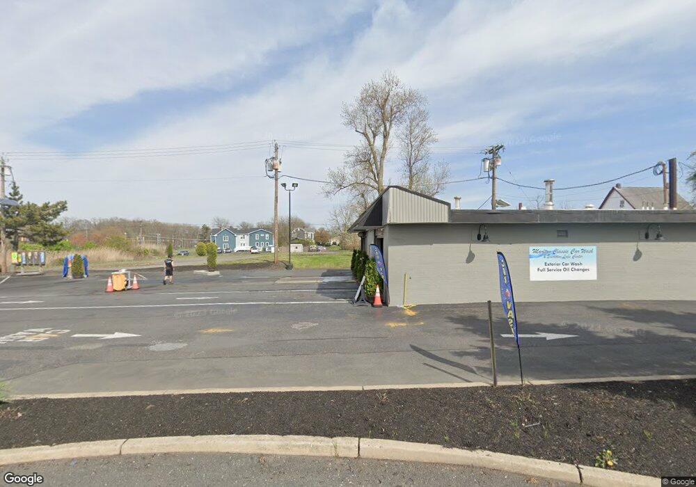
6 W Route 70 Evesham Township, NJ 08053
Estimated Value: $707,000 - $1,342,810
--
Bed
--
Bath
4,976
Sq Ft
$206/Sq Ft
Est. Value
About This Home
This home is located at 6 W Route 70, Evesham Township, NJ 08053 and is currently estimated at $1,024,905, approximately $205 per square foot. 6 W Route 70 is a home located in Burlington County with nearby schools including Marlton Middle School, Cherokee High School, and Lenape High School.
Ownership History
Date
Name
Owned For
Owner Type
Purchase Details
Closed on
Oct 17, 2022
Sold by
6 Route 70 Marlton Llc
Bought by
6 Route 70 Management Llc
Current Estimated Value
Home Financials for this Owner
Home Financials are based on the most recent Mortgage that was taken out on this home.
Original Mortgage
$900,000
Interest Rate
6.92%
Mortgage Type
New Conventional
Purchase Details
Closed on
Apr 13, 2020
Sold by
Weichert James M
Bought by
6 Route 70 Marlton Llc
Purchase Details
Closed on
Dec 31, 1986
Bought by
Weichert James M
Create a Home Valuation Report for This Property
The Home Valuation Report is an in-depth analysis detailing your home's value as well as a comparison with similar homes in the area
Home Values in the Area
Average Home Value in this Area
Purchase History
| Date | Buyer | Sale Price | Title Company |
|---|---|---|---|
| 6 Route 70 Management Llc | $1,050,000 | Old Republic National Title | |
| 6 Route 70 Marlton Llc | -- | None Available | |
| Weichert James M | -- | -- |
Source: Public Records
Mortgage History
| Date | Status | Borrower | Loan Amount |
|---|---|---|---|
| Previous Owner | 6 Route 70 Management Llc | $900,000 |
Source: Public Records
Tax History Compared to Growth
Tax History
| Year | Tax Paid | Tax Assessment Tax Assessment Total Assessment is a certain percentage of the fair market value that is determined by local assessors to be the total taxable value of land and additions on the property. | Land | Improvement |
|---|---|---|---|---|
| 2025 | $13,237 | $387,600 | $387,600 | -- |
| 2024 | $12,454 | $387,600 | $387,600 | $0 |
| 2023 | $12,454 | $387,600 | $387,600 | $0 |
| 2022 | $11,895 | $387,600 | $387,600 | $0 |
| 2021 | $11,616 | $387,600 | $387,600 | $0 |
| 2020 | $22,185 | $750,000 | $387,600 | $362,400 |
| 2019 | $22,005 | $750,000 | $387,600 | $362,400 |
| 2018 | $21,698 | $750,000 | $387,600 | $362,400 |
| 2017 | $21,443 | $750,000 | $387,600 | $362,400 |
| 2016 | $20,918 | $750,000 | $387,600 | $362,400 |
| 2015 | $20,550 | $750,000 | $387,600 | $362,400 |
| 2014 | $19,965 | $750,000 | $387,600 | $362,400 |
Source: Public Records
Map
Nearby Homes
- 30 Cooper Ave
- 118 Cambridge Ave
- 128 Cambridge Ave
- 42 S Locust Ave
- 23 King Ave
- 61 S Maple Ave
- 607 Lindsey Ct
- 63 Banner Ct Unit 63
- 22 Hawk Ln
- 31 Flintstone Dr
- 12 Princess Ave
- 360 Juniper St
- 29 Marlborough Ave
- 15 Erynwood Ave
- 800 Marlowe Rd
- 78 Kent Ave
- 1406 Jonathan Ln
- 220 Deerpark Ct
- 5804 Red Haven Dr
- 213 Balfield Terrace
- 6 Route 70 W
- 28 N Maple Ave
- 20 N Maple Ave
- 26 N Maple Ave
- 24 N Maple Ave
- 22 N Maple Ave
- 14 Blue Anchor St
- 16 N Maple Ave
- 14 N Maple Ave
- 21 N Maple Ave
- 12 N Maple Ave
- 14 E Route 70
- 16 W Main St Unit A
- 16 W Main St
- 14 W Main St
- 55 E Route 70 Unit 5
- 55 E Route 70 Unit 2
- 55 E Route 70 Unit 1
- 55 E Route 70
- 55 E Route 70 Unit 3