6 Wampenog Cir Royersford, PA 19468
Estimated Value: $465,816 - $499,000
3
Beds
3
Baths
1,852
Sq Ft
$260/Sq Ft
Est. Value
About This Home
This home is located at 6 Wampenog Cir, Royersford, PA 19468 and is currently estimated at $481,204, approximately $259 per square foot. 6 Wampenog Cir is a home located in Montgomery County with nearby schools including Upper Providence Elementary School, Spring-Ford Middle School 5/6/7 Grade Center, and Spring-Ford Middle School 8th Grade Center.
Ownership History
Date
Name
Owned For
Owner Type
Purchase Details
Closed on
Nov 9, 2010
Sold by
Miscavage Daniel and Miscavage Karen
Bought by
Miscavage Daniel and Miscavage Karen
Current Estimated Value
Home Financials for this Owner
Home Financials are based on the most recent Mortgage that was taken out on this home.
Original Mortgage
$260,000
Outstanding Balance
$171,369
Interest Rate
4.25%
Estimated Equity
$309,835
Purchase Details
Closed on
Jan 3, 2007
Sold by
Petaccio Helen P and Petaccio James F
Bought by
Dorazio Karen and Miscavage Daniel
Home Financials for this Owner
Home Financials are based on the most recent Mortgage that was taken out on this home.
Original Mortgage
$222,000
Interest Rate
6.14%
Create a Home Valuation Report for This Property
The Home Valuation Report is an in-depth analysis detailing your home's value as well as a comparison with similar homes in the area
Home Values in the Area
Average Home Value in this Area
Purchase History
| Date | Buyer | Sale Price | Title Company |
|---|---|---|---|
| Miscavage Daniel | -- | None Available | |
| Dorazio Karen | $277,500 | None Available |
Source: Public Records
Mortgage History
| Date | Status | Borrower | Loan Amount |
|---|---|---|---|
| Open | Miscavage Daniel | $260,000 | |
| Closed | Dorazio Karen | $222,000 |
Source: Public Records
Tax History Compared to Growth
Tax History
| Year | Tax Paid | Tax Assessment Tax Assessment Total Assessment is a certain percentage of the fair market value that is determined by local assessors to be the total taxable value of land and additions on the property. | Land | Improvement |
|---|---|---|---|---|
| 2025 | $5,242 | $135,950 | $43,590 | $92,360 |
| 2024 | $5,242 | $135,950 | $43,590 | $92,360 |
| 2023 | $5,003 | $135,950 | $43,590 | $92,360 |
| 2022 | $4,833 | $135,950 | $43,590 | $92,360 |
| 2021 | $4,542 | $135,950 | $43,590 | $92,360 |
| 2020 | $4,422 | $135,950 | $43,590 | $92,360 |
| 2019 | $4,338 | $135,950 | $43,590 | $92,360 |
| 2018 | $3,652 | $135,950 | $43,590 | $92,360 |
| 2017 | $4,254 | $135,950 | $43,590 | $92,360 |
| 2016 | $4,201 | $135,950 | $43,590 | $92,360 |
| 2015 | $3,929 | $135,950 | $43,590 | $92,360 |
| 2014 | $3,929 | $135,950 | $43,590 | $92,360 |
Source: Public Records
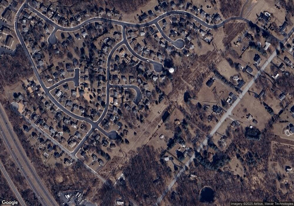
Map
Nearby Homes
- 19 Iroquois Dr
- 484 Fruit Farm Rd
- 184 Providence Forge Rd
- 209 Old State Rd
- 96 Providence Forge Rd
- 107 Beacon Ct Unit 10104
- 103 Beacon Ct Unit 10102
- 123 Beacon Ct Unit 10205
- 149 Roboda Blvd
- Granton Plan at Lewis Pointe
- 104 Beacon Ct Unit 10403
- 118 Fox Run Dr
- 36 Roboda Blvd
- 51 Roboda Blvd
- 7 Paddington Rd
- 860 Sagebrush Ln
- 408 Emmett Ct
- 406 Emmett Ct
- 404 Emmett Ct
- 408 Emmitt Ct