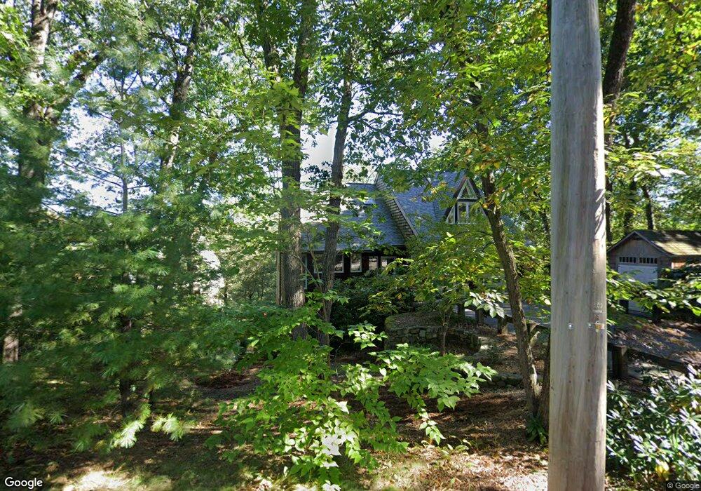
6 Warren St Lexington, MA 02421
Munroe Hill NeighborhoodEstimated Value: $2,100,000 - $2,538,000
3
Beds
3
Baths
2,850
Sq Ft
$807/Sq Ft
Est. Value
About This Home
This home is located at 6 Warren St, Lexington, MA 02421 and is currently estimated at $2,298,910, approximately $806 per square foot. 6 Warren St is a home located in Middlesex County with nearby schools including Bowman Elementary School, Jonas Clarke Middle School, and Lexington High School.
Ownership History
Date
Name
Owned For
Owner Type
Purchase Details
Closed on
Mar 7, 2024
Sold by
Nolden Thomas and Nolden Sandra L
Bought by
Nolden Ft and Nolden
Current Estimated Value
Purchase Details
Closed on
Jul 28, 2008
Sold by
Reuss Lana H and Reuss Marc B
Bought by
Nolden Sandra L and Nolden Thomas
Purchase Details
Closed on
Jul 1, 2003
Sold by
Castro Nora M
Bought by
Reuss Lana H and Reuss Marc B
Purchase Details
Closed on
May 19, 1989
Sold by
Politi Stephen M
Bought by
Castro Gonzalo V
Create a Home Valuation Report for This Property
The Home Valuation Report is an in-depth analysis detailing your home's value as well as a comparison with similar homes in the area
Home Values in the Area
Average Home Value in this Area
Purchase History
| Date | Buyer | Sale Price | Title Company |
|---|---|---|---|
| Nolden Ft | -- | None Available | |
| Nolden Sandra L | $1,120,000 | -- | |
| Reuss Lana H | $1,020,000 | -- | |
| Castro Nora M | -- | -- | |
| Castro Nora M | -- | -- | |
| Castro Gonzalo V | $250,000 | -- |
Source: Public Records
Mortgage History
| Date | Status | Borrower | Loan Amount |
|---|---|---|---|
| Previous Owner | Castro Gonzalo V | $460,000 | |
| Previous Owner | Castro Gonzalo V | $100,000 | |
| Previous Owner | Castro Gonzalo V | $463,000 |
Source: Public Records
Tax History Compared to Growth
Tax History
| Year | Tax Paid | Tax Assessment Tax Assessment Total Assessment is a certain percentage of the fair market value that is determined by local assessors to be the total taxable value of land and additions on the property. | Land | Improvement |
|---|---|---|---|---|
| 2025 | $23,836 | $1,949,000 | $1,073,000 | $876,000 |
| 2024 | $22,442 | $1,832,000 | $1,022,000 | $810,000 |
| 2023 | $21,944 | $1,688,000 | $929,000 | $759,000 |
| 2022 | $21,045 | $1,525,000 | $844,000 | $681,000 |
| 2021 | $20,894 | $1,452,000 | $804,000 | $648,000 |
| 2020 | $20,246 | $1,441,000 | $804,000 | $637,000 |
| 2019 | $19,443 | $1,377,000 | $766,000 | $611,000 |
| 2018 | $18,504 | $1,294,000 | $709,000 | $585,000 |
| 2017 | $18,402 | $1,270,000 | $675,000 | $595,000 |
| 2016 | $17,578 | $1,204,000 | $620,000 | $584,000 |
| 2015 | $16,168 | $1,088,000 | $564,000 | $524,000 |
| 2014 | $15,401 | $993,000 | $505,000 | $488,000 |
Source: Public Records
Map
Nearby Homes
- 10 Eliot Rd
- 1437 Massachusetts Ave
- 42 Winthrop Rd
- 1 Tricorne Rd
- 20 Marrett Rd
- 16 Solomon Pierce Rd
- 223 Waltham St
- 25 Maple St
- 5 Carnegie Place
- 197 Woburn St
- 42 Grapevine Ave
- 36 Independence Ave
- 35 Tower Rd
- 24 Grapevine Ave
- 32 Forest St
- 1894 Massachusetts Ave
- 1900 Massachusetts Ave
- 30 Meriam St Unit 30
- 20 Loring Rd
- 32 Edgewood Rd Unit 1