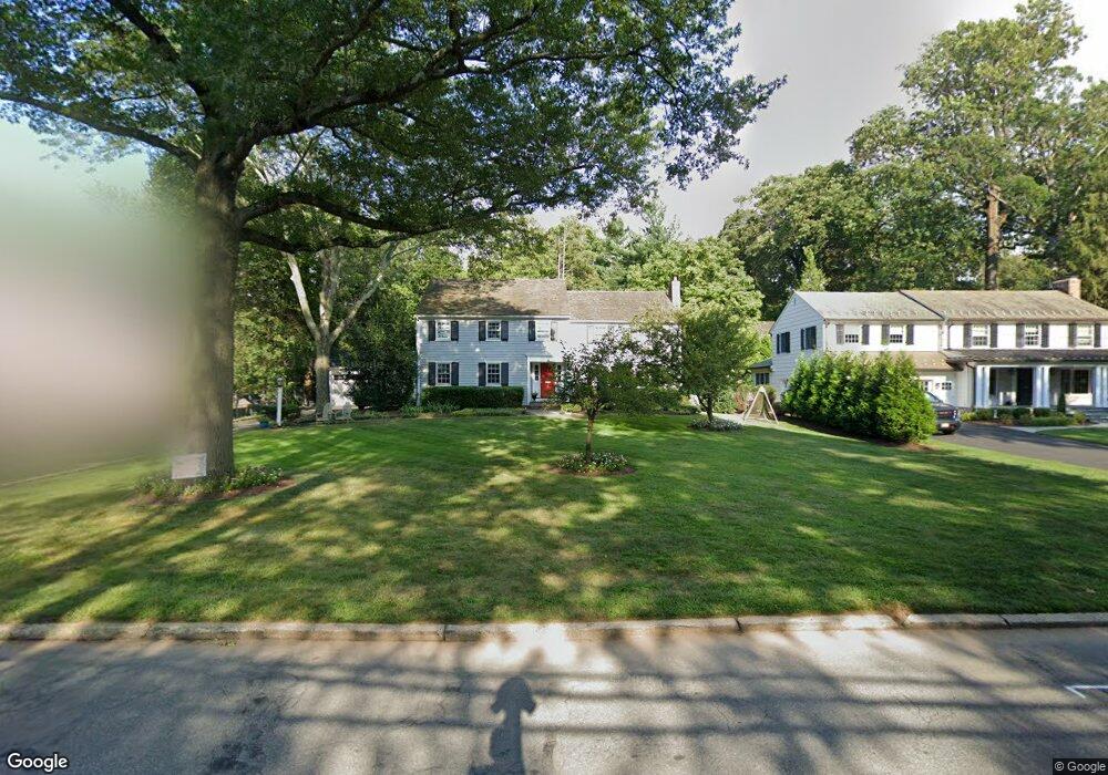
6 Warwick Rd Summit, NJ 07901
Estimated Value: $1,735,000 - $2,358,000
Studio
--
Bath
2,322
Sq Ft
$861/Sq Ft
Est. Value
About This Home
This home is located at 6 Warwick Rd, Summit, NJ 07901 and is currently estimated at $1,999,393, approximately $861 per square foot. 6 Warwick Rd is a home located in Union County with nearby schools including L C Johnson Summit Middle School, Summit Sr High School, and Oak Knoll School of the Holy Child.
Ownership History
Date
Name
Owned For
Owner Type
Purchase Details
Closed on
Aug 8, 2001
Sold by
Cassin Thomas D and Cassin Patricia A
Bought by
Barsh Andy and Abeshaus Lisa
Current Estimated Value
Home Financials for this Owner
Home Financials are based on the most recent Mortgage that was taken out on this home.
Original Mortgage
$379,000
Interest Rate
6.6%
Purchase Details
Closed on
Jul 2, 1996
Sold by
Rock Sanford I and Rock Jo Ann
Bought by
Cassin Thomas D and Cassin Patricia A
Create a Home Valuation Report for This Property
The Home Valuation Report is an in-depth analysis detailing your home's value as well as a comparison with similar homes in the area
Home Values in the Area
Average Home Value in this Area
Purchase History
| Date | Buyer | Sale Price | Title Company |
|---|---|---|---|
| Barsh Andy | $879,000 | First American Title Ins Co | |
| Cassin Thomas D | $470,000 | -- |
Source: Public Records
Mortgage History
| Date | Status | Borrower | Loan Amount |
|---|---|---|---|
| Closed | Barsh Andy | $379,000 |
Source: Public Records
Tax History
| Year | Tax Paid | Tax Assessment Tax Assessment Total Assessment is a certain percentage of the fair market value that is determined by local assessors to be the total taxable value of land and additions on the property. | Land | Improvement |
|---|---|---|---|---|
| 2025 | $26,545 | $609,400 | $250,000 | $359,400 |
| 2024 | $26,369 | $609,400 | $250,000 | $359,400 |
| 2023 | $26,369 | $609,400 | $250,000 | $359,400 |
| 2022 | $23,668 | $552,600 | $250,000 | $302,600 |
| 2021 | $23,856 | $552,600 | $250,000 | $302,600 |
| 2020 | $24,093 | $552,600 | $250,000 | $302,600 |
| 2019 | $24,121 | $552,600 | $250,000 | $302,600 |
| 2018 | $23,966 | $552,600 | $250,000 | $302,600 |
| 2017 | $24,121 | $552,600 | $250,000 | $302,600 |
| 2016 | $23,767 | $552,600 | $250,000 | $302,600 |
| 2015 | $23,303 | $552,600 | $250,000 | $302,600 |
| 2014 | $22,701 | $552,600 | $250,000 | $302,600 |
Source: Public Records
Map
Nearby Homes
- 709 Springfield Ave Unit One
- 709 Springfield Ave Unit 4
- 709 Springfield Ave Unit 2
- 709 Springfield Ave Unit 3
- 4 Parkview Terrace
- 105 Larned Rd
- 67 Tulip St
- 61 Tulip St
- 64 Tulip St
- 25 Division Ave
- 40 Prospect St
- 68 New England Ave Unit 18
- 62 Mountain Ave
- 20 Pittsford Way
- 65 Seven Oaks Dr
- 6 Lorraine Rd
- 11 Mount Vernon Ave
- 157 Grant Ave
- 16 Little Wolf Rd
- 17 Badgley Dr
Your Personal Tour Guide
Ask me questions while you tour the home.