6 Westgate Ln East Freetown, MA 02717
Estimated Value: $406,000 - $529,000
3
Beds
1
Bath
1,170
Sq Ft
$385/Sq Ft
Est. Value
About This Home
This home is located at 6 Westgate Ln, East Freetown, MA 02717 and is currently estimated at $450,456, approximately $385 per square foot. 6 Westgate Ln is a home located in Bristol County with nearby schools including Freetown Elementary School, George R Austin Intermediate School, and Freetown-Lakeville Middle School.
Ownership History
Date
Name
Owned For
Owner Type
Purchase Details
Closed on
Mar 14, 2008
Sold by
Westgate Linda M and Westgate Timothy D
Bought by
Freeman Diana F and Wiltshire Thomas G
Current Estimated Value
Home Financials for this Owner
Home Financials are based on the most recent Mortgage that was taken out on this home.
Original Mortgage
$229,837
Outstanding Balance
$143,031
Interest Rate
5.72%
Mortgage Type
VA
Estimated Equity
$307,425
Create a Home Valuation Report for This Property
The Home Valuation Report is an in-depth analysis detailing your home's value as well as a comparison with similar homes in the area
Home Values in the Area
Average Home Value in this Area
Purchase History
| Date | Buyer | Sale Price | Title Company |
|---|---|---|---|
| Freeman Diana F | $225,000 | -- |
Source: Public Records
Mortgage History
| Date | Status | Borrower | Loan Amount |
|---|---|---|---|
| Open | Freeman Diana F | $229,837 |
Source: Public Records
Tax History Compared to Growth
Tax History
| Year | Tax Paid | Tax Assessment Tax Assessment Total Assessment is a certain percentage of the fair market value that is determined by local assessors to be the total taxable value of land and additions on the property. | Land | Improvement |
|---|---|---|---|---|
| 2025 | $3,768 | $380,200 | $178,100 | $202,100 |
| 2024 | $3,741 | $358,700 | $168,000 | $190,700 |
| 2023 | $3,634 | $339,300 | $151,300 | $188,000 |
| 2022 | $3,464 | $287,200 | $128,200 | $159,000 |
| 2021 | $3,374 | $265,700 | $116,500 | $149,200 |
| 2020 | $3,226 | $247,800 | $112,100 | $135,700 |
| 2019 | $3,080 | $234,200 | $106,700 | $127,500 |
| 2018 | $2,940 | $220,900 | $106,700 | $114,200 |
| 2017 | $2,914 | $218,800 | $106,700 | $112,100 |
| 2016 | $2,556 | $195,300 | $103,700 | $91,600 |
| 2015 | $2,478 | $192,100 | $103,700 | $88,400 |
| 2014 | $2,364 | $187,500 | $101,500 | $86,000 |
Source: Public Records
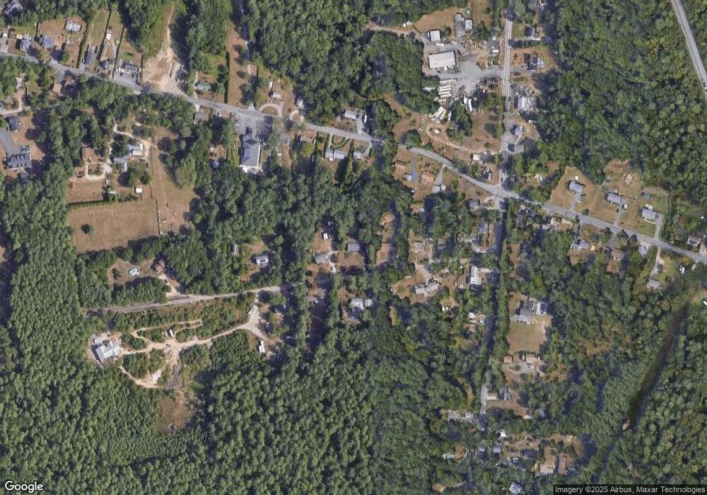
Map
Nearby Homes
- 595 Quanapoag Rd
- 599 Quanapoag Rd
- 1599 Braley Rd Unit 68
- 1573 Braley Rd Unit 39
- 13 Luscomb Ln
- 16 Swallow St
- 0 Costa Dr
- 122 Quanapoag Rd
- 1069 Cherokee St
- 3 Elaine Ave
- 4597 Acushnet Ave
- 64 Blaze Rd
- 210 Heritage Dr
- 150 Quanapoag Rd
- 34 Poplar Rd
- 145 Heritage Dr
- 26 Blueberry Dr
- Lot 2/3 Quanapoag Rd
- 1063 Westgate St
- ES Phillips Rd