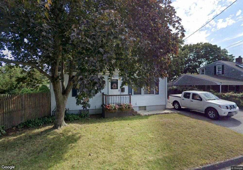
6 Westland St Acushnet, MA 02743
Coury Heights NeighborhoodEstimated Value: $406,857 - $512,000
--
Bed
1
Bath
1,216
Sq Ft
$377/Sq Ft
Est. Value
About This Home
This home is located at 6 Westland St, Acushnet, MA 02743 and is currently estimated at $458,464, approximately $377 per square foot. 6 Westland St is a home located in Bristol County with nearby schools including Acushnet Elementary School, Albert F Ford Middle School, and Alma del Mar Charter School.
Ownership History
Date
Name
Owned For
Owner Type
Purchase Details
Closed on
Jan 25, 1990
Sold by
Laporte David N
Bought by
Carroll Charles W
Current Estimated Value
Create a Home Valuation Report for This Property
The Home Valuation Report is an in-depth analysis detailing your home's value as well as a comparison with similar homes in the area
Home Values in the Area
Average Home Value in this Area
Purchase History
| Date | Buyer | Sale Price | Title Company |
|---|---|---|---|
| Carroll Charles W | $118,000 | -- | |
| Carroll Charles W | $118,000 | -- |
Source: Public Records
Mortgage History
| Date | Status | Borrower | Loan Amount |
|---|---|---|---|
| Open | Carroll Charles W | $179,617 | |
| Closed | Carroll Charles W | $192,002 | |
| Closed | Carroll Charles W | $210,000 |
Source: Public Records
Tax History Compared to Growth
Tax History
| Year | Tax Paid | Tax Assessment Tax Assessment Total Assessment is a certain percentage of the fair market value that is determined by local assessors to be the total taxable value of land and additions on the property. | Land | Improvement |
|---|---|---|---|---|
| 2025 | $37 | $339,200 | $119,000 | $220,200 |
| 2024 | $3,567 | $312,600 | $112,700 | $199,900 |
| 2023 | $3,457 | $288,100 | $102,300 | $185,800 |
| 2022 | $3,446 | $259,700 | $96,000 | $163,700 |
| 2021 | $3,340 | $241,500 | $96,000 | $145,500 |
| 2020 | $3,279 | $235,200 | $89,700 | $145,500 |
| 2019 | $3,148 | $222,000 | $85,600 | $136,400 |
| 2018 | $3,051 | $211,600 | $85,600 | $126,000 |
| 2017 | $2,950 | $204,300 | $85,600 | $118,700 |
| 2016 | $2,874 | $197,800 | $85,600 | $112,200 |
| 2015 | $2,732 | $191,300 | $85,600 | $105,700 |
Source: Public Records
Map
Nearby Homes
- 6 Middlefield Place
- 9 Middlefield Place
- 65 Armsby St
- 187 Tarkiln Hill Rd
- 6 Illinois St
- 0 Church Dutton & Chaffee Unit 73371719
- 957 Glen St
- 4 Tisbury St
- 506 Hawes St
- 263 Hersom St
- 1044 Victoria St Unit B-29
- 11 Saucier St
- 57 Crompton St
- 52 Pershing Ave
- 27 Jean St
- 400 Oliver St
- 868 Phillips Rd
- 398 Brockton St
- 203 S Main St
- 683 Church St