6 Wheat Ln Darien, CT 06820
Estimated Value: $3,685,715 - $4,637,000
6
Beds
5
Baths
5,478
Sq Ft
$756/Sq Ft
Est. Value
About This Home
This home is located at 6 Wheat Ln, Darien, CT 06820 and is currently estimated at $4,143,429, approximately $756 per square foot. 6 Wheat Ln is a home located in Fairfield County with nearby schools including Ox Ridge Elementary School, Middlesex Middle School, and Darien High School.
Ownership History
Date
Name
Owned For
Owner Type
Purchase Details
Closed on
Feb 1, 2023
Sold by
Wallach Barry
Bought by
Barry Wallach T
Current Estimated Value
Purchase Details
Closed on
Sep 18, 2000
Sold by
Dupont Michael C and Dupont Elizabeth B
Bought by
Wallach Barry and Wallach Carolyn K
Home Financials for this Owner
Home Financials are based on the most recent Mortgage that was taken out on this home.
Original Mortgage
$600,000
Interest Rate
8%
Purchase Details
Closed on
Mar 8, 2000
Sold by
Sparks Michelle S
Bought by
Dupont Michael B and Dupont Elizabeth R
Home Financials for this Owner
Home Financials are based on the most recent Mortgage that was taken out on this home.
Original Mortgage
$1,220,000
Interest Rate
8.18%
Create a Home Valuation Report for This Property
The Home Valuation Report is an in-depth analysis detailing your home's value as well as a comparison with similar homes in the area
Home Values in the Area
Average Home Value in this Area
Purchase History
| Date | Buyer | Sale Price | Title Company |
|---|---|---|---|
| Barry Wallach T | -- | None Available | |
| Wallach Barry | $1,950,000 | -- | |
| Dupont Michael B | $1,350,000 | -- |
Source: Public Records
Mortgage History
| Date | Status | Borrower | Loan Amount |
|---|---|---|---|
| Previous Owner | Dupont Michael B | $400,000 | |
| Previous Owner | Dupont Michael B | $600,000 | |
| Previous Owner | Dupont Michael B | $600,000 | |
| Previous Owner | Dupont Michael B | $1,220,000 |
Source: Public Records
Tax History
| Year | Tax Paid | Tax Assessment Tax Assessment Total Assessment is a certain percentage of the fair market value that is determined by local assessors to be the total taxable value of land and additions on the property. | Land | Improvement |
|---|---|---|---|---|
| 2025 | $31,549 | $2,038,050 | $1,207,780 | $830,270 |
| 2024 | $29,939 | $2,038,050 | $1,207,780 | $830,270 |
| 2023 | $30,932 | $1,756,510 | $1,006,460 | $750,050 |
| 2022 | $30,265 | $1,756,510 | $1,006,460 | $750,050 |
| 2021 | $29,580 | $1,756,510 | $1,006,460 | $750,050 |
| 2020 | $28,737 | $1,756,510 | $1,006,460 | $750,050 |
| 2019 | $28,930 | $1,756,510 | $1,006,460 | $750,050 |
| 2018 | $32,305 | $2,009,000 | $1,006,460 | $1,002,540 |
| 2017 | $32,465 | $2,009,000 | $1,006,460 | $1,002,540 |
| 2016 | $31,682 | $2,009,000 | $1,006,460 | $1,002,540 |
| 2015 | $30,838 | $2,009,000 | $1,006,460 | $1,002,540 |
| 2014 | $30,155 | $2,009,000 | $1,006,460 | $1,002,540 |
Source: Public Records
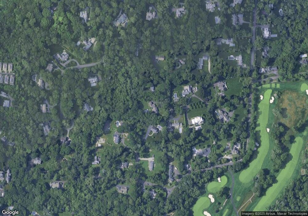
Map
Nearby Homes
- 5 Wheat Ln
- 112 Camp Ave
- 54 Camp Ave
- 473 Hollow Tree Ridge Rd
- 23 Greenwood Ave
- 28 Crooked Mile Rd
- 201 Highview Ave Unit C2
- 85 Camp Ave Unit 3B
- 85 Camp Ave Unit 18B
- 72 Highview Ave
- 59 Woodway Rd Unit 1
- 39 Woodway Rd Unit C5
- 39 Woodway Rd Unit C7
- 17 Oenoke Place
- 40 Oenoke Place Unit 13
- 19 Woodway Rd Unit 26
- 15 Waterbury Ln
- 970 Hope St Unit 5E
- 27 Northill St Unit 5S
- 27 Northill St Unit 5N
- 8 Wheat Ln
- 3 Petticoat Ln
- 3 Wheat Ln
- 4 Wheat Ln
- 1 Petticoat Ln
- 7 Wheat Ln
- 2 Wheat Ln
- 60 Allwood Rd
- 2 Petticoat Ln
- 531 Hollow Tree Ridge Rd
- 57 Allwood Rd
- 128 Camp Ave
- 593 Hollow Tree Ridge Rd
- 537 Hollow Tree Ridge Rd
- 535 Hollow Tree Ridge Rd
- 39 Allwood Rd
- 1 Wheat Ln
- 575 Hollow Tree Ridge Rd
- 61 Allwood Rd
- 116 Camp Ave
Your Personal Tour Guide
Ask me questions while you tour the home.