6 Wheatfield Ln West Dennis, MA 02670
West Dennis NeighborhoodEstimated Value: $1,156,000 - $1,952,000
3
Beds
3
Baths
2,866
Sq Ft
$554/Sq Ft
Est. Value
About This Home
This home is located at 6 Wheatfield Ln, West Dennis, MA 02670 and is currently estimated at $1,586,782, approximately $553 per square foot. 6 Wheatfield Ln is a home located in Barnstable County with nearby schools including Dennis-Yarmouth Regional High School and St. Pius X. School.
Ownership History
Date
Name
Owned For
Owner Type
Purchase Details
Closed on
Jun 21, 2007
Sold by
Sheehan Berna
Bought by
Sheehan Sean
Current Estimated Value
Purchase Details
Closed on
Mar 12, 1992
Sold by
Smith Richard B
Bought by
Smith Robert A
Create a Home Valuation Report for This Property
The Home Valuation Report is an in-depth analysis detailing your home's value as well as a comparison with similar homes in the area
Home Values in the Area
Average Home Value in this Area
Purchase History
| Date | Buyer | Sale Price | Title Company |
|---|---|---|---|
| Sheehan Sean | -- | -- | |
| Smith Robert A | $100,000 | -- |
Source: Public Records
Mortgage History
| Date | Status | Borrower | Loan Amount |
|---|---|---|---|
| Open | Smith Robert A | $300,000 |
Source: Public Records
Tax History Compared to Growth
Tax History
| Year | Tax Paid | Tax Assessment Tax Assessment Total Assessment is a certain percentage of the fair market value that is determined by local assessors to be the total taxable value of land and additions on the property. | Land | Improvement |
|---|---|---|---|---|
| 2025 | $6,048 | $1,396,700 | $577,200 | $819,500 |
| 2024 | $5,909 | $1,346,000 | $555,100 | $790,900 |
| 2023 | $5,708 | $1,222,200 | $510,500 | $711,700 |
| 2022 | $5,519 | $985,600 | $459,900 | $525,700 |
| 2021 | $5,744 | $952,600 | $471,800 | $480,800 |
| 2020 | $5,414 | $887,600 | $450,900 | $436,700 |
| 2019 | $5,153 | $835,100 | $442,000 | $393,100 |
| 2018 | $5,702 | $899,300 | $538,200 | $361,100 |
| 2017 | $5,460 | $887,800 | $538,200 | $349,600 |
| 2016 | $5,843 | $894,800 | $597,000 | $297,800 |
| 2015 | $5,727 | $894,800 | $597,000 | $297,800 |
| 2014 | $5,682 | $894,800 | $597,000 | $297,800 |
Source: Public Records
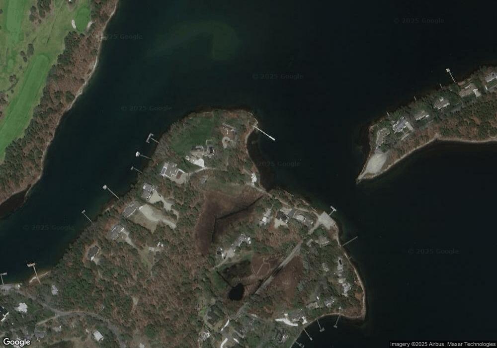
Map
Nearby Homes
- 428 Main St Unit 1-11
- 467 Main St
- 401 Main St Unit 201
- 401 Main St Unit 101
- 23 Doric Ave
- 209 Main St Unit 3
- 209 Main St Unit 6
- 209 Main St Unit 1
- 209 Main St Unit 2
- 209 Main St Unit 4
- 209 Main St Unit 5
- 18 Turner Ln
- 3 Pinefield Ln
- 29 Bass River Rd
- 1 Country Club Dr
- 14 Schoolhouse Ln
- 45 Seth Ln
- 23 Fairwood Rd
- 21 Green Way