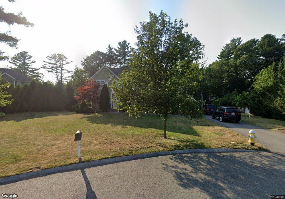
6 White Ln Middleton, MA 01949
Estimated Value: $1,331,000 - $1,347,000
4
Beds
3
Baths
2,500
Sq Ft
$535/Sq Ft
Est. Value
About This Home
This home is located at 6 White Ln, Middleton, MA 01949 and is currently estimated at $1,338,047, approximately $535 per square foot. 6 White Ln is a home located in Essex County with nearby schools including Howe-Manning Elementary School, Fuller Meadow Elementary School, and Masconomet Regional Middle School.
Ownership History
Date
Name
Owned For
Owner Type
Purchase Details
Closed on
Oct 1, 2025
Sold by
Baniissa Heyam and Ali Mohammed
Bought by
Heyam Baniissa Ret and Baniissa
Current Estimated Value
Purchase Details
Closed on
Aug 24, 2015
Sold by
Baniissa Heyam
Bought by
Baniissa Heyam and Ali Mohammed
Home Financials for this Owner
Home Financials are based on the most recent Mortgage that was taken out on this home.
Original Mortgage
$415,000
Interest Rate
4.07%
Mortgage Type
New Conventional
Purchase Details
Closed on
Jul 15, 2011
Sold by
Baniissa Heyam
Bought by
Michael Lane Llc
Purchase Details
Closed on
Mar 16, 2011
Sold by
Michael Lane Llc
Bought by
Baniissa Heyam
Create a Home Valuation Report for This Property
The Home Valuation Report is an in-depth analysis detailing your home's value as well as a comparison with similar homes in the area
Home Values in the Area
Average Home Value in this Area
Purchase History
| Date | Buyer | Sale Price | Title Company |
|---|---|---|---|
| Heyam Baniissa Ret | -- | -- | |
| Heyam Baniissa Ret | -- | -- | |
| Baniissa Heyam | -- | -- | |
| Baniissa Heyam | -- | -- | |
| Baniissa Heyam | -- | -- | |
| Baniissa Heyam | -- | -- | |
| Michael Lane Llc | -- | -- | |
| Michael Lane Llc | -- | -- | |
| Michael Lane Llc | -- | -- | |
| Michael Lane Llc | -- | -- | |
| Baniissa Heyam | $659,900 | -- | |
| Baniissa Heyam | $659,900 | -- | |
| Baniissa Heyam | $659,900 | -- | |
| Baniissa Heyam | $659,900 | -- |
Source: Public Records
Mortgage History
| Date | Status | Borrower | Loan Amount |
|---|---|---|---|
| Previous Owner | Baniissa Heyam | $415,000 |
Source: Public Records
Tax History
| Year | Tax Paid | Tax Assessment Tax Assessment Total Assessment is a certain percentage of the fair market value that is determined by local assessors to be the total taxable value of land and additions on the property. | Land | Improvement |
|---|---|---|---|---|
| 2025 | $13,659 | $1,148,800 | $451,500 | $697,300 |
| 2024 | $14,256 | $1,209,200 | $521,500 | $687,700 |
| 2023 | $14,520 | $1,128,200 | $623,500 | $504,700 |
| 2022 | $10,800 | $815,100 | $347,300 | $467,800 |
| 2021 | $11,403 | $831,100 | $389,300 | $441,800 |
| 2020 | $10,929 | $802,400 | $355,300 | $447,100 |
| 2019 | $10,170 | $742,900 | $307,300 | $435,600 |
| 2018 | $10,054 | $720,200 | $307,300 | $412,900 |
| 2017 | $10,017 | $718,100 | $311,300 | $406,800 |
| 2016 | $10,083 | $725,900 | $325,300 | $400,600 |
| 2015 | $9,497 | $689,200 | $293,300 | $395,900 |
Source: Public Records
Map
Nearby Homes
- 6 White Ln
- 6 Cabral Dr
- 2 Wedge Ct Unit 2
- 20 Mid Iron Dr Unit 20
- 12 Couture Way
- 1 Couture Way
- 67 Fuller Pond Rd
- 1 Mills Point Unit 1
- 20 Bellingham Ct
- 40 Glen Dr
- 15 Rowell Ln Unit 15
- 6 Greystone Dr
- 5 Wennerberg Rd
- 1466 Main St
- 19 Peachey Cir
- 220 Swan Pond Rd
- 9 Stableford Ct Unit 9
- 23 Hamilton Rd
- 47 Maple St Unit A
- 19 Fairway Ln Unit 53
Your Personal Tour Guide
Ask me questions while you tour the home.