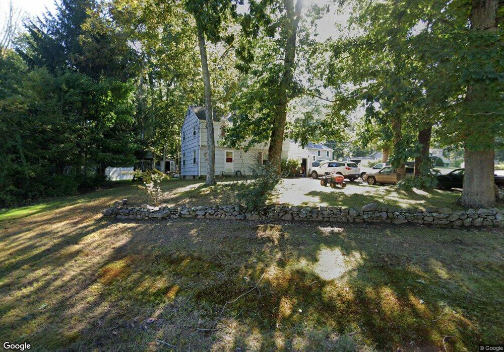
6 Whitewood Ln Ledyard, CT 06339
Estimated Value: $352,000 - $417,000
3
Beds
6
Baths
1,312
Sq Ft
$287/Sq Ft
Est. Value
About This Home
This home is located at 6 Whitewood Ln, Ledyard, CT 06339 and is currently estimated at $376,567, approximately $287 per square foot. 6 Whitewood Ln is a home located in New London County with nearby schools including Ledyard Middle School and Ledyard High School.
Ownership History
Date
Name
Owned For
Owner Type
Purchase Details
Closed on
Jul 13, 2010
Sold by
Hubbard Christopher P
Bought by
Brooks Michael A and Colvill Elizabeth
Current Estimated Value
Home Financials for this Owner
Home Financials are based on the most recent Mortgage that was taken out on this home.
Original Mortgage
$160,425
Outstanding Balance
$106,924
Interest Rate
4.78%
Estimated Equity
$269,643
Purchase Details
Closed on
Dec 14, 2007
Sold by
Hubbard Christopher P and Hubbard Kristen M
Bought by
Havens David O
Home Financials for this Owner
Home Financials are based on the most recent Mortgage that was taken out on this home.
Original Mortgage
$208,200
Interest Rate
6.3%
Purchase Details
Closed on
Nov 29, 2004
Sold by
Drake Roy and Drake Janet
Bought by
Havens David and Havens Diane
Home Financials for this Owner
Home Financials are based on the most recent Mortgage that was taken out on this home.
Original Mortgage
$105,000
Interest Rate
5.75%
Create a Home Valuation Report for This Property
The Home Valuation Report is an in-depth analysis detailing your home's value as well as a comparison with similar homes in the area
Home Values in the Area
Average Home Value in this Area
Purchase History
| Date | Buyer | Sale Price | Title Company |
|---|---|---|---|
| Brooks Michael A | $152,000 | -- | |
| Havens David O | $211,500 | -- | |
| Havens David | $194,000 | -- |
Source: Public Records
Mortgage History
| Date | Status | Borrower | Loan Amount |
|---|---|---|---|
| Open | Havens David | $160,425 | |
| Previous Owner | Havens David | $208,200 | |
| Previous Owner | Havens David | $12,100 | |
| Previous Owner | Havens David | $105,000 |
Source: Public Records
Tax History Compared to Growth
Tax History
| Year | Tax Paid | Tax Assessment Tax Assessment Total Assessment is a certain percentage of the fair market value that is determined by local assessors to be the total taxable value of land and additions on the property. | Land | Improvement |
|---|---|---|---|---|
| 2025 | $4,602 | $123,900 | $41,510 | $82,390 |
| 2024 | $4,350 | $123,550 | $41,510 | $82,040 |
| 2023 | $4,270 | $123,550 | $41,510 | $82,040 |
| 2022 | $4,178 | $123,550 | $41,510 | $82,040 |
| 2021 | $4,151 | $123,550 | $41,510 | $82,040 |
| 2020 | $3,919 | $112,070 | $33,180 | $78,890 |
| 2019 | $3,929 | $112,070 | $33,180 | $78,890 |
| 2018 | $3,843 | $112,070 | $33,180 | $78,890 |
| 2017 | $3,647 | $112,070 | $33,180 | $78,890 |
| 2016 | $3,575 | $112,070 | $33,180 | $78,890 |
| 2015 | $3,407 | $112,070 | $33,180 | $78,890 |
| 2014 | $3,456 | $115,570 | $33,180 | $82,390 |
Source: Public Records
Map
Nearby Homes
- 5 Sachem Ln
- 7 Captain Amos Stanton Dr
- 120 Gallup Hill Rd Unit 2A
- 12 Cartridge Trail
- 113 Meeting House Ln
- 148 Gallup Hill Rd
- 20 Lakeside Dr Unit P
- 6 Lakeside Dr Unit P
- 61 Town Farm Rd
- 4 Lakeside Dr Unit L
- 22 Boulder Way
- 22 Cliff Rd
- 7 Chidley Way
- 155 Iron St
- 134 Iron St
- 675 Colonel Ledyard Hwy
- 19 Center Dr
- 116 Spicer Hill Rd
- 452 Colonel Ledyard Hwy
- 173 Lambtown Rd